
Dallas Street Maps | Detailed Travel Tourist City
|
Texas City Street Maps |
Texas City Maps
- $10.95
Item Code : UNIV13887
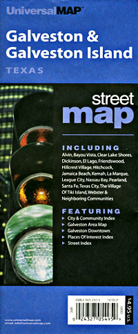
 Scale 1:47,000. Size 27"x39". Universal Map edition.
 - $10.95
Item Code : UNIV13889
 Scale 1:40,000. Size 27"x39". Universal Map edition.
 - $249.95 + $24.80 p&h (add $40 for spring rollers)
Item Code : UNIV13888
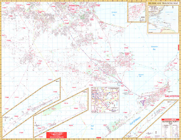 Size 66" W x 54" H. Laminated. The Galveston, Texas Wall Map by Universal Map includes approximately 1100 new streets and changes. Shows complete street detail with boundaries ranging north to include the Lyndon B. Johnson Space Center and Pearland; south to include West Bay; east to the Gulf of Mexico including the entire beach side from Sea Isle to Galveston and Crystal Beach High Island; and west to include all of Alvin and a portion of Manuel in Brazoria County. Includes an inset of a hurricane tracking chart, all streets/highways, government buildings, airports, golf courses/country clubs, railroads, longitude/latitude lines, ZIP codes/boundaries, shopping centers, recreational parks, mileage circles, cemeteries, educational facilities, hospitals, post offices, city limits/annexations, fire/police stations, and more. Framing rails are included on top and bottom for easy wall mounting. Railed wall maps can be turned into pull down maps on spring rollers for an additional $40.
 - $249.95 + $24.80 p&h (add $40 for spring rollers)
Item Code : UNIV13890
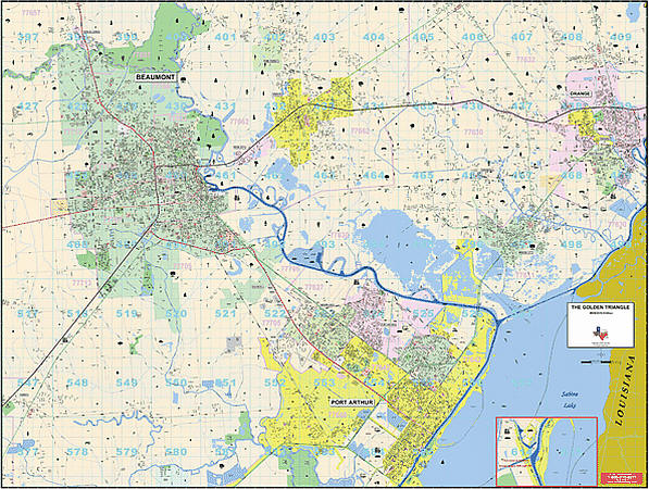 Size 77" W x 54" H. Laminated. The Golden Triangle, Texas Wall Map published by Universal Map. Includes the cities and towns of Beaumont, Bridge City, Groves, Nederland, Orange, Pinehurst, Port Neches, Rose City, Port Arthur, Vidor and West Orange. This map has added approximately 500 new streets and changes. This commercial wall map will show all of Golden Triangle, TX in complete street detail with the boundaries as follows: North: Includes city of Pine Forest. South: Includes city of Port Arthur. East: Includes city Orange. West: Includes city of Beaumont. The special features and data contained on this map are as follows: all streets, all highways, educational facilities, government buildings, shopping centers, hospitals airports, recreational parks, post offices, golf and country clubs, points of interest, city limits and annexations railroads, mileage circles, water features, Longitude and Latitude lines, Cemeteries, Fire and Police Stations, ZIP Code and Boundaries. In addition, for your convenience, the map is indexed on the face of the map. The map is printed on #80 stock material and is protected with a laminate finish, which is both markable and washable. Framing rails are included on top and bottom for easy wall mounting. Railed wall maps can be turned into pull down maps on spring rollers for an additional $40.
 - $249.95 + $24.80 p&h (add $40 for spring rollers)
Item Code : KAPA21130
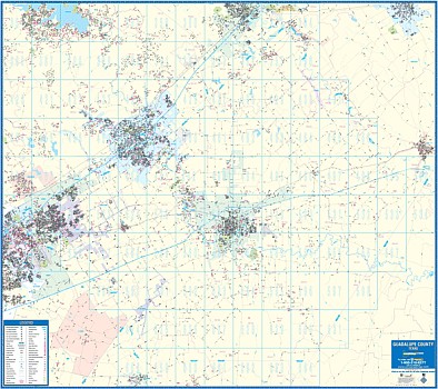 Guadalupe County, Texas and adjacent areas. Specifications of this high quality map include: • Measures 5’ 0” W x 5’ 5” H (60” x 65”) • Complete street detail at a scale of 1” = 3520 feet • Up-to-date cartography with all the new streets and changes. • Printed in color with a markable and washable laminated surface. • Streets are indexed in separate book. • Rails, mounted top and bottom. Hanging option of spring roller available. Area of Coverage: • North: Portions of San Marcos in Hays County, portions of Lockhart in Caldwell County & Canyon Lake • South: Guadalupe, Wilson County Line & Town St. Hedwig in Bexar County • East: Guadalupe, Caldwell County Line & Town of Luling • West: Garden Ridge in Comal County & Universal City in Bexar Co. Details Included: Airports, All Streets & Highways, Government Buildings, Cemeteries, Points of Interest, Fire & Police Stations, Hospitals, Water Features, Educational Institutions, Subdivision Names, Recreational Parks , Golf & Country Clubs, Post Offices, City Limits & Annexations, ZIP Codes & Boundaries Compatible with Mapsco Street Guide. Railed wall maps can be turned into pull down maps on spring rollers for an additional $40.
 - $10.95
Item Code : UNIV13892
 Scale 1:250,000. Size 27"x40". Universal Map edition.
 - $10.95
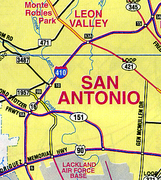
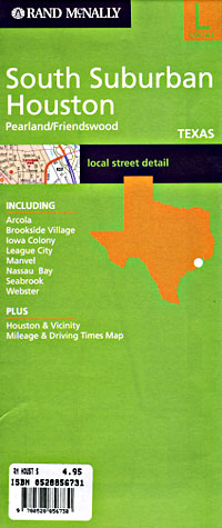
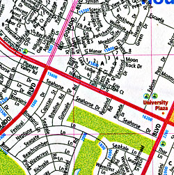
Item Code : RAND13893
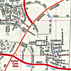
 Scale 1:266,000. Size 28"x40". Rand McNally edition.
 - $10.95
Item Code : UNIV13894
 Scale 1:45,000. Size 36"x46". Universal Map edition.
 - $10.95
Item Code : UNIV13895
 Scale 1:225,000. Size 24"x36". Universal Map edition.
 - $11.95
Item Code : UNIV13896
 Scale 1:49,000. Size 22"x25". Universal Map edition. Laminated.
 - $10.95
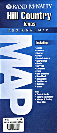
Item Code : RAND13897
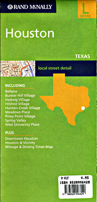
 Scale 1:33,000. Size 36"x45". Rand McNally edition.
 - $14.95 + $5.50 p&h or $18.50 foreign delivery
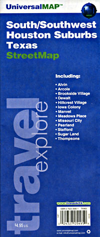
Item Code : UNIV13898
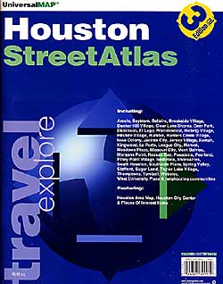
 Scale 1:42,000. Size 8?"x11". 140 pages. Universal Map edition.
 - $10.95
Item Code : UNIV13901
 Scale 1:47,000. Size 27"x39". Universal Map edition.
 - $10.95
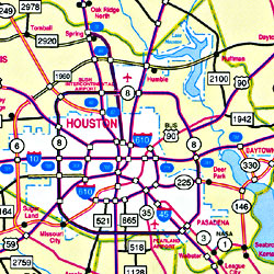
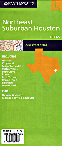
Item Code : RAND13902
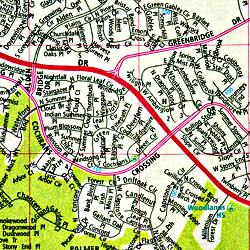 Scale 1:36,000. Size 28"x40". Rand McNally edition.
 - $10.95
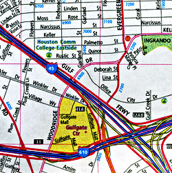
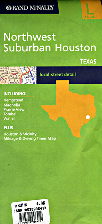
Item Code : RAND13903
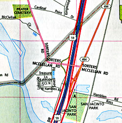 Scale 1:33,000. Size 28"x41". Rand McNally edition.
 - $10.95
Item Code : RAND13904
 Scale 1:32,000. Size 28"x40". Rand McNally edition.
 - $10.95
Item Code : RAND13905
 Scale 1:33,000. Size 28"x40". Rand McNally edition.
 - $10.95
Item Code : UNIV13906
 Scale 1:47,000. Size 27"x39". Universal Map edition.
 - $10.95
Item Code : UNIV13907
 Scale 1:47,000. Size 27"x39". Universal Map edition.
 - $10.95
Item Code : RAND13908
 Scale 1:42,000. Size 28"x40". Rand McNally edition.
|
Texas City Street Maps |
