
|
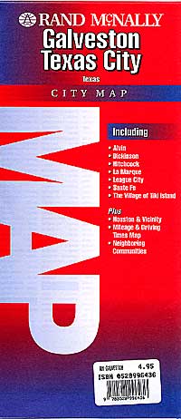
Texas City Street Maps |
Texas City Maps
- $10.95
Item Code : RAND13858
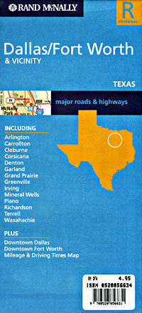
 Worth Regional Map, Texas, America. Scale 1:170,000. Size 25"x36". Rand McNally edition.
 - $76.95 + $9.50 p&h or $34.50 foreign delivery (this is a big book!)
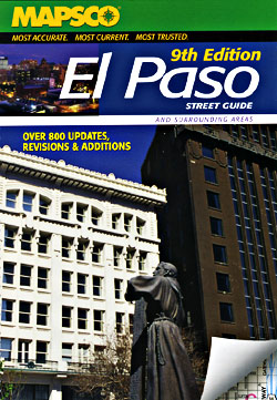
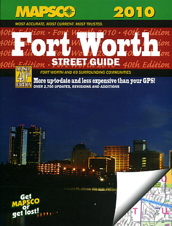
Item Code : MSCO13861
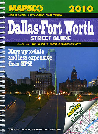
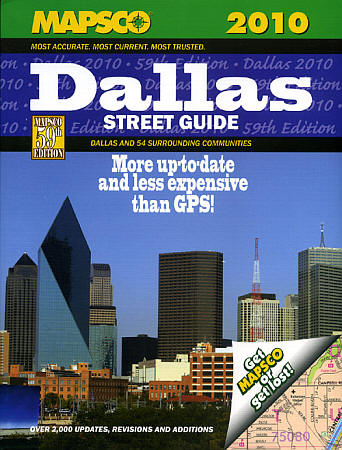
 Scale 1:24,000. Size 8"x11". 680 pages. We only sell the latest edition, whatever year that may be.
 - $44.95 + $7.50 p&h or $28.50 foreign delivery
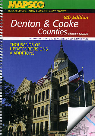
Item Code : MSCO13862
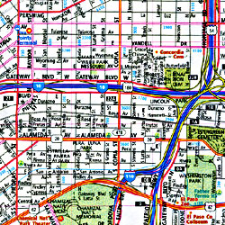
 Scale 1:24,000. Size 8"x11". 401 pages. Mapsco edition.
 - $10.95
Item Code : UNIV13866
 Scale 1:41,000. Size 27"x39". Universal Map edition.
 - $10.95
Item Code : RAND13867
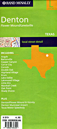
 Scale 1:35,000. Size 25"x36". Rand McNally edition.
 - $35.95 + $7.50 p&h or $28.50 foreign delivery
Item Code : MSCO13868
 Scale 1:24,000. Size 8"x11". 204 pages. We only sell the latest edition, whatever year that may be.
 - $249.95 + $24.80 p&h (add $40 for spring rollers)
Item Code : UNIV13864
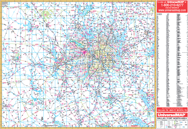 Scale 1:230,000. Size 66" W x 54" H. Laminated. Provides up-to-date cartography. Printed in color with a markable and washable laminated surface. Streets indexed on the face of the map. Includes hanging rails mounted top and bottom. Area of Coverage: Includes all of the following counties: Collin, Dallas, Denton, Ellis, Hood, Johnson, Kaufman, Parker, Rockwall, Somervill, Tarrant, and Wise. Includes portions of the following counties: Cooke, Fannin, Grayson, Henderson, Hill, Hunt, Montague, Navarro, and Palo Pinto. Boundaries are as follows: North: Includes Sherman, Denison, and Pottsboro in Grayson County; South: Includes Hillsboro in Hill County, Corsicana in Navarro County; East: includes Greenville in Hunt County; West: to Mineral Wells in Palo Pinto County. Details US and State highways, county roads, airports, military installations, water features, railroads, ZIP codes/boundaries, and national forests. Railed wall maps can be turned into pull down maps on spring rollers for an additional $40.
 - $10.95
Item Code : FIVE13865
Scale 1:42,000. Size 36"x45". Five Star edition. - $10.95
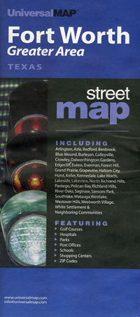
Item Code : UNIV13871
 Scale 1:43,000. Size 27"x39". Universal Map edition.
 - $11.95
Item Code : UNIV13872
 Scale 1:43,000. Size 23"x26". Universal Map edition. Laminated.
 - $10.95
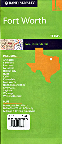
Item Code : RAND13873

 Scale 1:32,000. Size 26"x37". Rand McNally edition. Detailed city street map.
 - $24.95 + $7.50 p&h or $28.50 foreign delivery
Item Code : MSCO13875
 Scale 1:25,000. Size 8"x11". 175 pages. We only sell the latest edition, whatever year that may be.
 - $249.95 + $24.80 p&h (add $40 for spring rollers)
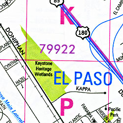
Item Code : UNIV13877
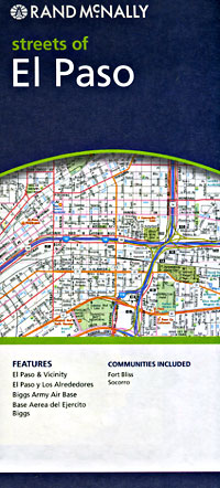
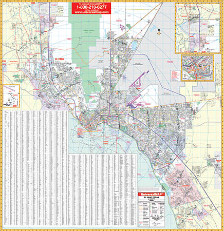 Scale 1:2,818. Size 59" W x 62" H. Laminated. The 5th Edition El Paso, Texas Wall Map by Universal Map features up-to-date cartography, complete street detail. Includes new streets, a laminated surface making the map markable and washable, and indexing on the front of the map. Framing rails are included on top and bottom for easy wall mounting. The area of coverage runs: North: to include the city of Anthony plus the unincorporated area of Anthony in New Mexico; South: to include the city of Clint and also the major portion of Ciudad Jaurez, Mexico; East: to include Horizon City; West: to the El Paso County line, city of Sunland Park in New Mexico and 3 miles west to include all of Santa Teresa. There is an inset map which is an enlarged scale of downtown El Paso, Strauss, NM. Details and special features include all streets, post offices, hospitals, railroads, mileage circles, time zones, airports, cemeteries, shopping centers, water features, recreational parks, longitude and latitude lines, government buildings, fire and police stations, educational facilities, golf courses and country clubs, ZIP codes/boundaries, city limits/annexations, longitude/latitude, and points of interest. Railed wall maps can be turned into pull down maps on spring rollers for an additional $40.
 - $10.95
Item Code : UNIV13878
 Scale 1:39,000. Size 34"x44". Universal Map edition.
 - $11.95
Item Code : UNIV13879
 Scale 1:38,000. Size 23"x26". Universal Map edition. Laminated.
 - $10.95
Item Code : RAND13880
 Scale 1:42,000. Size 28"x40". Rand McNally edition.
 - $12.95 + $5.50 p&h or $18.50 foreign delivery
Item Code : UNIV13882
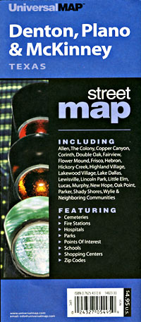
 Scale 1:35,000. Size 8?"x11". 88 pages. Universal Map edition.
 - $44.95 + $7.50 p&h or $28.50 foreign delivery
Item Code : MSCO13884
 Scale 1:24,000. Size 8"x11". 346 pages. We only sell the latest edition, whatever year that may be.
 - $229.95 + $24.80 p&h (add $40 for spring rollers)
Item Code : UNIV13885
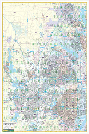 Scale 1:3,500. Size 51" W x 76" H. Laminated. Provides up-to-date cartography with new streets and changes. Printed in color on a markable/washable-laminated surface. Includes hanging rails mounted top and bottom. Streets are indexed in a separate book. Area of coverage: North: Denton; South: Mansfield and Crowley; East: Dallas/Ft. Worth International Airport; West: Pelican Bay and Azle. Details airports, all streets and highways, government buildings, cemeteries, shopping centers, fire/police stations, hospitals, water features, educational facilities, railroads, recreational parks, golf/country clubs, post offices, block numbers, ZIP codes/boundaries, and points of interest. Railed wall maps can be turned into pull down maps on spring rollers for an additional $40.
 - $10.95
Item Code : RAND13886
 Scale 1:34,000. Size 26"x37". Rand McNally edition.
|
Texas City Street Maps |
