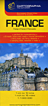
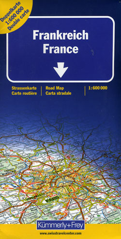
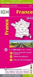
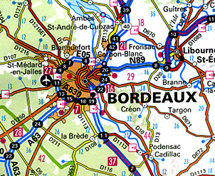
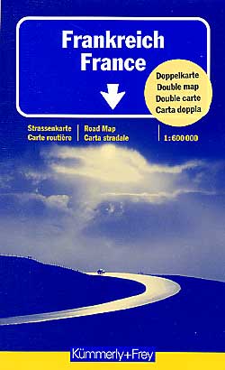
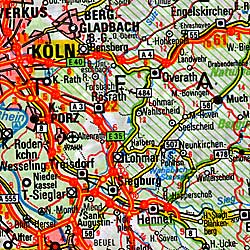
Drive through the exciting road ways of France with France Road Map
The prominence of France in the hearts of travelers across the world is constantly increasing due to its highly sophisticated populace, extremely romantic ambience, chic fashion and delicious cuisine. Not only this, it has even lot more to offer for the travelers worldwide. Spanning across a huge area of over 260,588 sq. miles, France has been able to occupy the 41st position among the world’s largest country. While planning your visit to France, you must not forget to take the France Road Map of Great Journeys Inc. along with you.
At Great Journeys we are entirely committed to deliver superior quality of France detailed road map which distinctively turns out to be the perfect guide for the travelers. Our large scale maps of France ideally offer a comprehensive detail of every crucial place along with its distinguished routes. We have significantly designed all our maps as per the specified requirements of the travelers. Our maps will effectively accompany you to your desired destinations with perfect convenience.
Key Highlights of France driving maps
We, at Great Journeys, being the pioneer map suppliers of the world offer extensive range of France maps for the fun loving travelers which distinctively cover every single detail of France along with the distances between the renowned places of France. With our outstanding driving maps of France, no single route will remain unfamiliar with you. Our entire collection of France Road Map is extremely user friendly. You are essentially not required to pay significant emphasis on understanding our maps.
France tourist road maps
You can distinctively enjoy your fun filled road trip with our tourist road maps of France that not only provide you awareness about different remarkable locations of France but also provide essential information about their picturesque byways. Almost every major city, various attractions as well as distinctive boundaries have been highlighted in our map which distinguishes us from others. The plethora of destinations in France that have been plotted in our France Road Map include Disneyland, French Riviera, Cannes Film festival, the Versailles Palace, Ecrins national park, Pyrenees national park, Vanoise national park, Cevennes National park and many more. Besides this a detailed mention about various renowned cities likes Paris, Lyon, Nice, Nantes, Toulouse, Dijon and many more have also been given in our detailed road maps.
The Great Journey Inc. Advantage
Some of the distinctive features that distinguish our France travel map from others include:
• Our maps are available in the largest scale which can be easily understood by the travelers.
• You can also avail ideal route way to reach your favorite destination along with appropriate distance information.
• An appropriate mention about the picturesque byways can also be found.
Explore the wide plethora
Enhance your experience of France visit by looking through our extensive plethora of maps available for you as per your customized requirements at highly reasonable prices to unfold its everlasting culture along with a wine and extra ordinary food cuisine.
France Road MapsDetailed, Travel, Tourist, Driving. |
| What you’ll find in this section, all arranged in the following order: a. France Road and Tourist Maps (see below) b. Special Interest Tourist Maps of France (see below) c. France Road Atlases Click Here d. Waterways & Canal Maps of France Click Here e. Regional Road and Tourist Maps at 1:200,000-1:250,000 Scale Click Here f. Sectional Road and Topographic Tourist Maps at 1:100,000 Scale (IGN) Click Here g. CITY Street Plans and Atlases of France >>> A to C D to M N to Paris Q to Z Please look down the list and find the map or atlas of your choice! |
France Road Maps
- $17.95
Item Code : ITMB7772
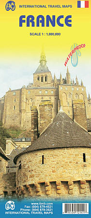
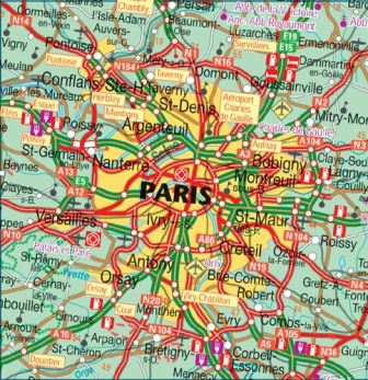 ITMB France road map, travel, tourist, detailed, street. Scale 1:1,000,000. International Travel Maps edition. Indexed. Physical road map with hypsometric tinting. Icons for places of interest and tourist amenities. Features include wine producing areas, historic towns and buildings, museums, gardens and parks, and many other places of interest for tourists. Inset map for Corsica.
 - $17.95
Item Code : FREY7767
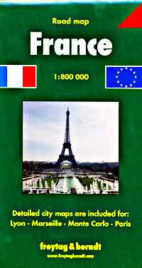
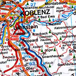 Freytag-Berndt road map of France, travel, tourist, detailed, street. Scale 1:800,000. Size 29"x50". English and multilingual legends. This is our best road map of France. Highly detailed. Beautiful easy-to-read cartography. Beautiful shaded relief so you can see the hills and mountains. All roads marked and numbered. Shows distances between points. Also shows railways. Fully indexed.
 - $17.95
Item Code : MRCO20882
 Scale 1:800,000. Marco Polo maps feature completely up-to-date, digitally generated mapping. The high quality cartography with distance indicators and scale converters aid route planning. The extensive coverage enables travellers to cross country boundaries with the same map. A fold-out overview map is ideal for route planning and 7 self-adhesive Marco Polo mark-it stickers can be used to pin-point a destination or route for future reference. Scenic routes and places of interest are highlighted - ideal for touring holidays. Comprehensive index. Contains city maps of: Paris, Strasbourg, Lyon and Marseille.
 - $16.95
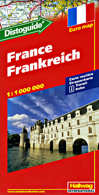
Item Code : HLWG7771
- $17.95
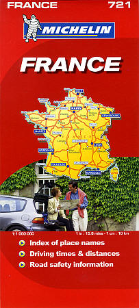
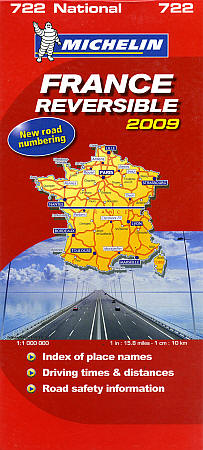
Item Code : MICH7773
- $17.95
Item Code : MICH7774
- $17.95
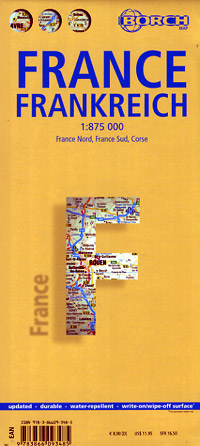
Item Code : BORC7775
- $17.95
Item Code : ITMB10461
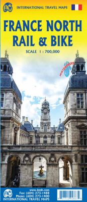
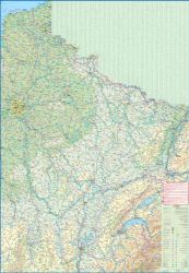
Scale 1:700,000. Size 27"x39". International Travel Maps edition.
The northern half of France is fairly flat, making it an ideal area for biking. However, it is also a rather large area, covering several provinces of France, so we have combine rail access with biking. All the motorways and main highways are also shown, so this map is ideal for someone wanting to drive to, say, Brittany and bike during their stay in the Breton peninsula.
Side 1 covers Normandy, Brittany, the Loire, and the Poitou region west of Paris. Side 2 covers all of northern France from Calais to Strasbourg and south to Lyon. Small adjacent portions of Switzerland and Italy are included. A Top 9 Attractions list is included. France South was published a little while ago, so the entire country is now available in detail. The map is printed on waterproof stone paper for durability.
- $12.95
Item Code : CART7776
- $17.95
Item Code : ITMB10460
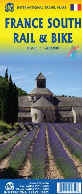 Scale 1:600,000. Size 27"x39". International Travel Maps edition. This is a brand new title for ITMB and an attempt to portray a changing travel landscape in a mapping format. Eco-tourism is a rapidly growing activity, with enormous potential. At the same time, governments are sekking to reduce carbon pollution by encouraging train travel, so ITMB is climbing abroard the movement by publishing a map encouraging train travel white still retaining the road network and noting all the long-distance bike routes in southern France by designated number. This is, by its scale, a generalized map of that portion of France south of Poitiers or Lyon to the Mediterranean, so is more of a regional map showing biking opportunities than a detailed trail map. Nevertheless, it is an excellent map on waterproof paper showing cycling routes and tertiary roads that are suitable for recreational exploration. Naturally, motorways and main highways are shown as well.
 - $17.95
Item Code : SKU10468
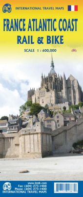
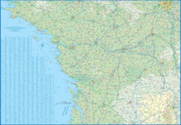
Scale 1:600,000. Size 27"x39". International Travel Maps edition.
France is a rather large country, and while it can be portrayed on a map as a country, mapping it in segments provides an opportunity to concentrate on regions at a better scale. This map, covering the coastal region of France from the Cotenin Peninsula south to the Spanish border and east as far as Paris and Montpellier in Languedoc is the first of what we hope will be a series covering the country at an improved scale.
This map is double-sided, covering from Quimper and Paris at the northernmost portion of coverage, to Angouleme and Clermont at the southern extreme on one side, with the second side covering from Bordeaux and St-Etienne south to Bayonne/Pamplona and Nimes/Avignon in the south. This is a part of Europe that has been fought over for centuries, and as such is dotted with fortresses proclaiming its historic importance.
This map has been designed with the leisure traveller in mind. Although it shows all motorways and highways, rail connections by train are emphasized, as are long-distance Euro-Velo cycling routes that are being developed in many parts of Europe. At this scale, it would be impractical to record all accommodations, but we have included a new feature that is thus far peculiar to France, and that is motorway hotels at rest areas. Naturally, the map is rich with places of touristic interest.
- $16.95
Item Code : KUMR7778
- $16.95
Item Code : IGNF7779
- $19.95
Item Code : REIS7780

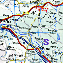 Scale 1:1,000,000. Size 28"x40". Reis Know How edition. Very detailed France road map. English and multi-lingual legends. Printed on tear-resistant, waterproof, paper-like plastic. It can bend and fold without cracking and is writable as normal paper, non-toxic and recyclable. Perfect for tourist adventures and independent travel and for driving tours. Includes topographic contour lines and hypsometric color tints which show height levels, along with elevation numbers. Shows all major and secondary roads and tertiary roads, with distances between points in kilometers. Fully indexed. Beautiful cartography.
 - $21.95
Item Code : KUMR7781
- $17.95
Item Code : HLWG7782
- $17.95
Item Code : MICH7783
- $17.95
Item Code : MICH7784
- $19.95
Item Code : REIS7785
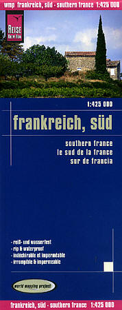
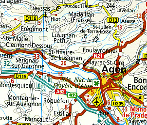 Scale 1:425,000. Size 28"x36". Reis Know How edition. Large scale. Very detailed. Very detailed France, Southern road map. English and multi-lingual legends. Printed on tear-resistant, waterproof, paper-like plastic. It can bend and fold without cracking and is writable as normal paper, non-toxic and recyclable. Perfect for tourist adventures and independent travel and for driving tours. Includes topographic contour lines and hypsometric color tints which show height levels, along with elevation numbers. Shows all major and secondary roads and tertiary roads, with distances between points in kilometers. Fully indexed. Beautiful cartography.
 - $17.95
Item Code : HLWG7786
| Postage and handling is $3.50 for the first map and $1.50 for each additional map. ~ ~ ~ ~ ~ ~ Foreign delivery is $7.80 for the first map and $5.00 for each additional map. |
| ** Click here! to view our beautiful collection of France Travel VIDEOS ** |
| ** Click here! to view our French Language Courses ** |
Drive through the exciting road ways of France with France Road Map
The prominence of France in the hearts of travelers across the world is constantly increasing due to its highly sophisticated populace, extremely romantic ambience, chic fashion and delicious cuisine. Not only this, it has even lot more to offer for the travelers worldwide. Spanning across a huge area of over 260,588 sq. miles, France has been able to occupy the 41st position among the world’s largest country. While planning your visit to France, you must not forget to take the France Road Map of Great Journeys Inc. along with you.
At Great Journeys we are entirely committed to deliver superior quality of France detailed road map which distinctively turns out to be the perfect guide for the travelers. Our large scale maps of France ideally offer a comprehensive detail of every crucial place along with its distinguished routes. We have significantly designed all our maps as per the specified requirements of the travelers. Our maps will effectively accompany you to your desired destinations with perfect convenience.
Key Highlights of France driving maps
We, at Great Journeys, being the pioneer map suppliers of the world offer extensive range of France maps for the fun loving travelers which distinctively cover every single detail of France along with the distances between the renowned places of France. With our outstanding driving maps of France, no single route will remain unfamiliar with you. Our entire collection of France Road Map is extremely user friendly. You are essentially not required to pay significant emphasis on understanding our maps.
France tourist road maps
You can distinctively enjoy your fun filled road trip with our tourist road maps of France that not only provide you awareness about different remarkable locations of France but also provide essential information about their picturesque byways. Almost every major city, various attractions as well as distinctive boundaries have been highlighted in our map which distinguishes us from others. The plethora of destinations in France that have been plotted in our France Road Map include Disneyland, French Riviera, Cannes Film festival, the Versailles Palace, Ecrins national park, Pyrenees national park, Vanoise national park, Cevennes National park and many more. Besides this a detailed mention about various renowned cities likes Paris, Lyon, Nice, Nantes, Toulouse, Dijon and many more have also been given in our detailed road maps.
The Great Journey Inc. Advantage
Some of the distinctive features that distinguish our France travel map from others include:
• Our maps are available in the largest scale which can be easily understood by the travelers.
• You can also avail ideal route way to reach your favorite destination along with appropriate distance information.
• An appropriate mention about the picturesque byways can also be found.
Explore the wide plethora
Enhance your experience of France visit by looking through our extensive plethora of maps available for you as per your customized requirements at highly reasonable prices to unfold its everlasting culture along with a wine and extra ordinary food cuisine.
France Road MapsDetailed, Travel, Tourist, Driving. |
| What you’ll find in this section, all arranged in the following order: a. France Road and Tourist Maps (see below) b. Special Interest Tourist Maps of France (see below) c. France Road Atlases Click Here d. Waterways & Canal Maps of France Click Here e. Regional Road and Tourist Maps at 1:200,000-1:250,000 Scale Click Here f. Sectional Road and Topographic Tourist Maps at 1:100,000 Scale (IGN) Click Here g. CITY Street Plans and Atlases of France >>> A to C D to M N to Paris Q to Z Please look down the list and find the map or atlas of your choice! |


