
Dallas Street Maps | Detailed Travel Tourist City
|
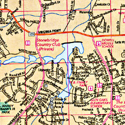
Texas City Street Maps |
Texas City Maps
- $10.95
Item Code : RAND13909
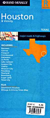
 Scale 1:140,000. Size 26"x37". Rand McNally edition.
 - $10.95
Item Code : RAND13911
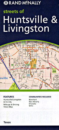
 Scale 1:25,000. Size 24"x36". Rand McNally edition.
 -
- $309.95 + $24.80 p&h (add $40 for spring rollers)
Item Code : UNIV13910
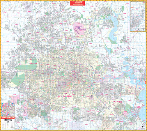 Scale 1:3,500. Size 77" W x 70" H. Laminated. The 6th edition Houston, Texas Wall Map by Universal Map. The laminated surface is both markable and washable. Street indexing appears in a separate book. The area of coverage ranges: North: to the Montgomery/Harris County line including the city of Tomball and showing Northern Grand Parkway; South: to the Houston Southwest Airport in the town of Arcola in Fort Bend County; East: to include Baytown in Harris County; West: to the Grand Parkway. Map insets are of the city of Baytown and Downtown Houston. Other details included are as follows: airports, post offices, hospitals, railroads, points of interest, mileage circles, longitude and latitude lines, all streets and highways, cemeteries, shopping centers, water features, recreational parks, block numbers, government buildings, fire and police stations, educational facilities, golf courses and country clubs, ZIP codes and their boundaries, and city limits and annexations. Framing rails are included on top and bottom for easy wall mounting. Railed wall maps can be turned into pull down maps on spring rollers for an additional $40.
 - $10.95
Item Code : UNIV13912
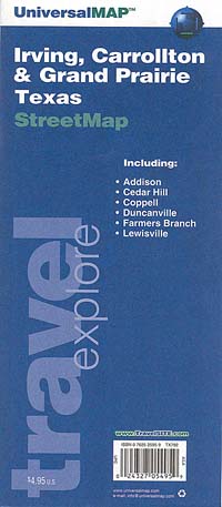
 Scale 1:40,000. Size 27"x39". Universal Map edition.
 - $10.95
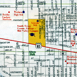
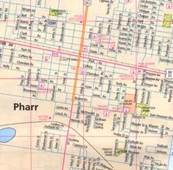
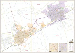
Item Code : RAND13913
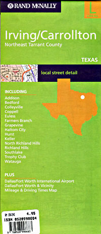
 Scale 1:40,000. Size 26"x37". Rand McNally edition.
 - $10.95
Item Code : UNIV13915

 Scale 1:24,000. Size 21"x31". Universal Map edition.
 - $10.95
Item Code : UNIV13918

 Scale 1:24,000. Size 23"x35". Universal Map edition.
 - $10.95
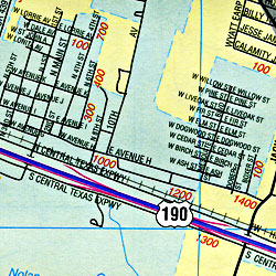
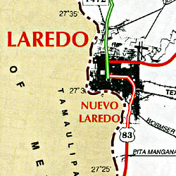
Item Code : RAND13919
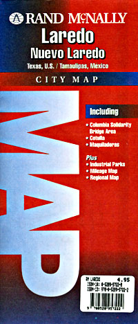
 Scale 1:28,000. Size 24"x36". Rand McNally edition.
 - $10.95
Item Code : RLEY13920

 Scale 1:35,000. Size 19"x25". Riley Marketing edition.
 - $10.95
Item Code : UNIV13923

 Scale 1:28,000. Size 23"x35". Universal Map edition.
 - $10.95
Item Code : RAND13924
 Scale 1:32,000. Size 26"x37". Rand McNally edition. Detailed city street map.
 - $10.95
Item Code : RLEY13925

 Scale 1:27,500. Size 23"x35". Riley Marketing edition.
 - $10.95
Item Code : UNIV13927
 Scale 1:45,000. Size 19"x25". Universal Map edition.
 - $10.95
Item Code : RAND13928

 Scale 1:38,000. Size 28"x40". Rand McNally edition.
 - $10.95
Item Code : RLEY13929
 "Various scales". Size 19"x25". Riley Marketing edition.
 - $229.95 + $24.80 p&h (add $40 for spring rollers)
Item Code : KAPA21131
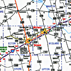
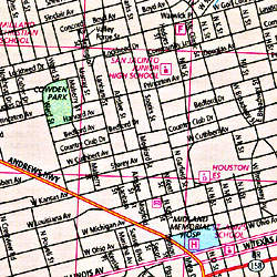
 Our Midland and Odessa, TX Wall Map, with adjacent areas, measures 70" x 50" (5'10" W x 4'2" H) and features up-to-date cartography, with new streets and changes in complete street detail; is printed in color, with a markable and washable laminated surface; and offers a street index in a separate book-format. The area of coverage includes all of Midland and Odessa, with the following boundaries: - North to the Midland-Martin and Ector-Andrews County lines - South to E Loop 338 and Dora Roberts Road - East to the intersection of I-20 and TX-250 S Loop - West to Odessa and past Moss Ave The Midland and Odessa, TX Wall Map also includes an inset maps of Downtown Midland and Downtown Odessa. Details and features include: - AIRPORTS - BLOCK NUMBERS - CEMETERIES - CITY LIMITS (color-coded) - EDUCATIONAL INSTITUTIONS - FIRE & POLICE STATIONS - GOLF & COUNTRY CLUBS - GOVERNMENT BUILDINGS - HOSPITALS - LIBRARIES - POINTS OF INTEREST - POST OFFICES - RAILROADS - RECREATIONAL PARKS - SHOPPING CENTERS - STREETS & HIGHWAYS - WATER FEATURES - ZIP CODE BOUNDARIES Framing rails are included, top and bottom, for easy wall mounting. Spring roller mounting is also available, for an additional $40.
 - $10.95
Item Code : RAND13931

 Scale 1:42,000. Size 28"x40". Rand McNally edition.
 - $10.95
Item Code : RAND13933
 Scale 1:32,000. Size 25"x36". Rand McNally edition.
 - $10.95
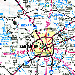
Item Code : RAND13935
 Scale 1:32,000. Size 26"x37". Rand McNally edition.
|
Texas City Street Maps |
