
Dallas Street Maps | Detailed Travel Tourist City
|
Texas City Street Maps |
Texas City Maps
- $10.95
Item Code : UNIV13936
 Size 23"x28". Universal Map edition.
 - $10.95
Item Code : UNIV13938
 Scale 1:38,000. Size 23"x35". Universal Map edition.
 - $10.95
Item Code : RLEY13939
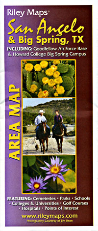
 Scale 1:45,000. Size 23"x35". Riley Marketing edition.
 - $10.95
Item Code : RAND13940
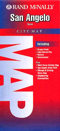
 Scale 1:32,000. Size 26"x36". Rand McNally edition. Detailed city street map.
 - $10.95
Item Code : UNIV13942

 Scale 1:40,000. Size 36"x46". Universal Map edition.
 - $10.95
Item Code : UNIV13943
 Scale 1:44,000. Size 27"x39". Universal Map edition.
 - $11.95
Item Code : UNIV13944
 Scale 1:40,000. Size 22"x26". Universal Map edition. Laminated.
 - $10.95
Item Code : RAND13945
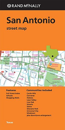
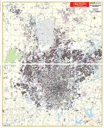
 Scale 1:33,000. Size 36"x45". Rand McNally edition. Rand McNally's folded map for San Antonio is a must-have for anyone traveling in and around this part of Texas, offering unbeatable accuracy and reliability at a great price. Our trusted cartography shows all Interstate, U.S., state, and county highways, along with clearly indicated parks, points of interest, airports, county boundaries, and streets. The easy-to-use legend and detailed index make for quick and easy location of destinations. You'll see why Rand McNally folded maps have been the trusted standard for years.
 - $10.95
Item Code : RAND13950
 Scale 1:34,000. Size 18"x27". Rand McNally edition.
 - $10.95
Item Code : UNIV13951
 Scale 1:35,000. Size 24"x28". Universal Map edition.
 - $249.95 + $24.80 p&h (add $40 for spring rollers)
Item Code : UNIV13948
 Scale 1:3,500. Size 77" W x 70" H. Laminated. Printed in color with a markable/washable--laminated surface. Street index provided on the face of the map. Framing rails are included on top and bottom for easy wall mounting. Railed wall maps can be turned into pull down maps on spring rollers for an additional $40. Area of coverage: North: Cities of Boerne, Bulverde, and Fair Oaks Ranch; South: includes city of Elmendorf; East: includes city of Schertz & most of Cibolo; West: Medina/Bexar County line. Details include all streets and highways, government buildings, airports, water features, fire/police stations, hospitals, shopping centers, educational facilities, railroads, recreational parks, golf/country clubs, post offices, city limits/annexations, cemeteries, longitude & latitude, zip codes/boundaries, and points of interest.
 - $249.95 + $24.80 p&h (add $40 for spring rollers)
Item Code : KAPA21132
 San Angelo, Texas Wall Map by Kappa Map Group measures 4' 3" W x 5' H (51“ x 60”). Using up-to-date cartography showing new streets and changes, this map provides complete street detail. The Wall Map has been printed in color on a laminated map that is both markable and washable. Streets are indexed in a separate book. The area of coverage for this map ranges covers all of San Angelo with a street detailed inset of Tom Greene and Irion Counties with points of interest. The special features and data contained on this map are as follows: All Streets & Highways, Government Buildings, Airports, Water Features, Police Stations, Hospitals, Shopping Centers, Educational Institutions, Railroads, Recreational Parks, Golf and Country Clubs, Neighborhoods, City Limits & Annexations, Cemeteries, Block Numbers, ZIP Codes and Boundaries & Libraries. Framing rails are included on top and bottom for easy wall mounting. Railed wall maps can be turned into pull down maps on spring rollers for an additional $40.
 -
- $10.95
Item Code : UNIV13954
 Scale 1:35,000. Size 24"x36". Universal Map edition.
 - $10.95
Item Code : UNIV13955
 Scale 1:26,000. Size 28"x40". Universal Map edition.
 - $10.95
Item Code : RLEY13957

 Scale 1:39,000. Size 19"x25". Riley Marketing edition.
 - $10.95
Item Code : RAND13960
Scale 1:31,000. Size 28"x40". Rand McNally edition. - $10.95
Item Code : RLEY13961
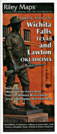
 Scale 1:32,500. Size 23"x35". Riley Marketing edition.
|
Texas City Street Maps |
