
Wisconsin Road Maps | Detailed Travel Tourist Drivimg
|
Wisconsin Road Maps |
Wisconsin
- $11.95
Item Code : RAND14639
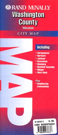
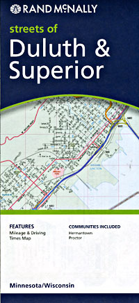
Rand McNally edition. Detailed city street map. - $10.95
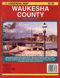
Item Code : UNIV14643
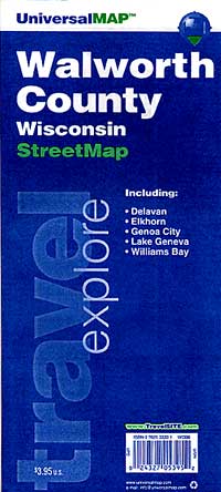
 Size 23"x35". Universal Map edition.
 - $10.95
Item Code : RAND14645
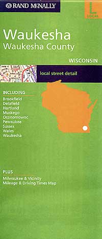
 Scale 1:35,000. Size 28"x40". Rand McNally edition. Detailed city street map.
 - $10.95
Item Code : RAND14642
 Scale 1:40,000. Size 23"x29". Rand McNally edition.
 - $10.95
Item Code : RAND14647

 Scale 1:34,000. Size 28"x40". Rand McNally edition.
 - $10.95
Item Code : UNIV14648
 Size 23"x35". Universal Map edition.
 - $12.95 + $5.50 p&h or $18.50 foreign delivery
Item Code : UNIV14649
 Size 8?"x11". 31 pages. Universal Map edition.
 - $11.95
Item Code : RAND14651
Rand McNally edition. Detailed city street map. - $229.95 + $24.80 p&h (add $40 for spring rollers)
Item Code : UNIV14644
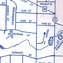
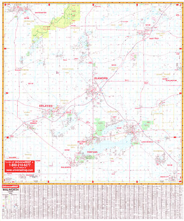 Size 54" W x 40" H. Laminated. The Walworth, Wisconsin Wall Map by Universal Map offers up-to-date cartography in complete street detail, is printed in color, laminated, indexed for streets on the face of the map. Coverage ranges north to the Jefferson-Waukesha County line; south to the State line; east to the Racine-Kenosha County line; and west to the Rock County line. Details all streets, post offices, hospitals, railroads, mileage circles, airports, cemeteries, shopping centers, water features, recreational parks, government buildings, fire/police stations, educational facilities, golf courses/country clubs, and ZIP codes/boundaries. Framing rails are included on top and bottom for easy wall mounting. Railed wall maps can be turned into pull down maps on spring rollers for an additional $40.
 - $249.95 + $24.80 p&h (add $40 for spring rollers)
Item Code : UNIV14646
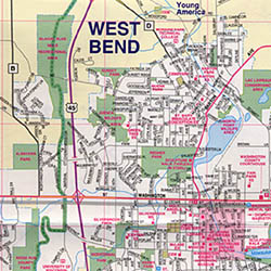
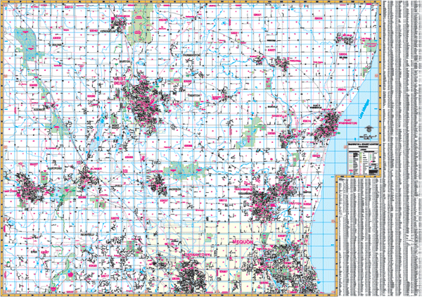 Scale 1:2,560. Size 76" W x 54" H. Laminated. The Washington and Ozaukee Counties of Wisconsin provide up-to-date cartography with new streets and changes in complete street detail and printed in color with a markable/washable, laminated surface. Streets indexed on the face of the map. Includes wood grain framing rails mounted top and bottom. Area of coverage: North: Fond Du Lac and Sheboygan County lines; South: Waukesha and Milwaukee County lines; East: Lake Michigan; West: Dodge County line. Details included: all streets and highways, government buildings, airports, mileage circles, fire/police stations, post offices, shopping centers, educational facilities, hospitals, water features, golf/country clubs, railroads, recreational parks, ZIP codes/boundaries, cemeteries, block numbers, city limits/annexations, section/township/range lines, and longitude/latitude lines. Railed wall maps can be turned into pull down maps on spring rollers for an additional $40.
|
Wisconsin Road Maps |
My Wish List
Last Added Items
You have no items in your wish list.
