
Illinois Road Maps | Detailed Travel Tourist Driving
|
Illinois Road Maps |
Illinois
-
-
- $12.95
Item Code : AMER8972
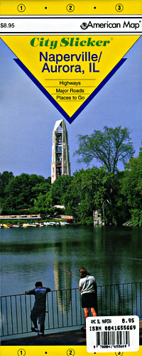
 Scale 1:37,000. Size 21"x25". American Map Company edition. Laminated.
 - $249.95 + $24.80 p&h (add $40 for spring rollers)
Item Code : UNIV8991
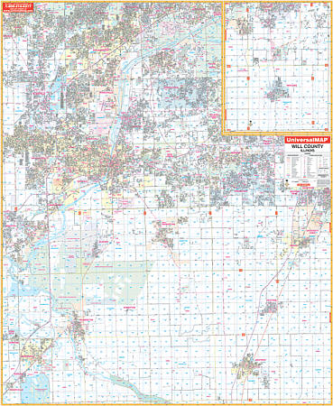 Scale 1:2,600. Size 54" W x 68" H. Laminated. Printed in color with a markable/washable--laminated surface. Street index provided on the face of the map. Framing rails are included on top and bottom for easy wall mounting. Railed wall maps can be turned into pull down maps on spring rollers for an additional $40. Area of coverage: All of Will county, with the following boundaries: North: Dupage, Cook, & Will Counties; South: Kankakee/Will County line; East: Indiana State; West: Kendall, Grundy, & Will Counties. Details include all streets and highways, government buildings, airports, water features, fire/police stations, hospitals, shopping centers, educational facilities, railroads, recreational parks, golf/country clubs, post offices, city limits/annexations, cemeteries, longitude & latitude, ZIP codes/boundaries, section/township/range lines, and points of interest.
|
Illinois Road Maps |
My Wish List
Last Added Items
You have no items in your wish list.
