
|
Illinois Road Maps |
Illinois
- $10.95
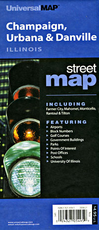
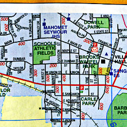
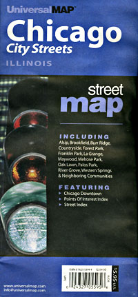
Item Code : UNIV8893
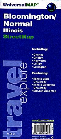
 Scale 1:28,000. Size 20"x27". Universal Map edition.
 - $10.95
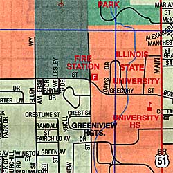
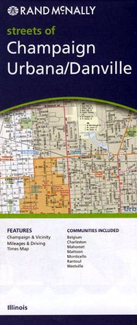
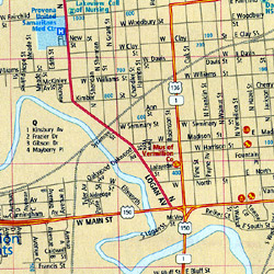
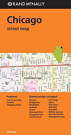
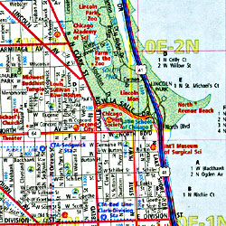
Item Code : RAND8894
 Scale 1:28,000. Size 23"x29". Rand McNally edition. Detailed city street map.
 - $10.95
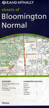
Item Code : UNIV8896
 Scale 1:25,000. Size 23"x29". Universal Map edition.
 - $10.95
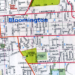
Item Code : RAND8897
 Scale 1:27,000. Size 23"x29". Rand McNally edition.
 - $17.95
Item Code : BORC8899
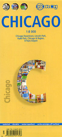
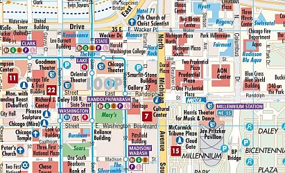 Scale 1:8,000. Size 20"x26". Fully indexed. Borch edition. Laminated. Our soft-laminated folded map of Chicago shows Chicago Downtown 1:8,000, Lincoln Park 1:16,000, Hyde Park 1:20,000, Chicago & Region 1:250,000, O'Hare Airport 1: 22 500, Public Transportation CTA, Top 30 Sights and USA administrative & time zones. Borch Maps are easy to fold, durable and water-repellent with a wipeable surface. Borch Maps show hotels, museums, monuments, markets, public transport, top sights and points of interest, useful statistics, conversion charts for temperatures, weights and measurements, climate charts showing temperatures, sunshine hours, precipitation and humidity, overview maps, time zones, and much more.
 - $17.95
Item Code : ITMB8900
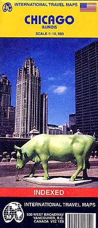
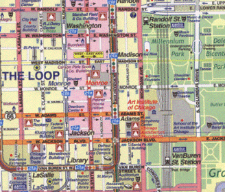 Scale 1:12,500. Size 27"x39". International Travel Maps edition. Indexed. English text and legends. Elevations and topographic features are shown by hypsometric color tints. Includes considerable useful travel information.
 - $12.95
Item Code : ROUG8901
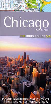
 Scale 1:17,000. Size 20"x26". Rough Guide edition. Printed on tear-resistant, waterproof, lightweight, paper-like plastic. English text and legends. Rugged and convenient.
 - $10.95
Item Code : MEAS8903
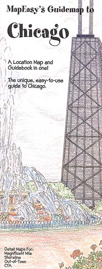
 Scale 1:21,500. Size 18"x27". Map Easy edition. Perfect for the intrepid or armchair traveller, this charming map combines the best of a guidebook and a location map, all in one. The map is color coded to include information about the city's hotels, restaurants, shops, and sites. Printed on tear-proof, water-resistant, lightweight, paper-like plastic, that is incredibly durable. Also includes sketches of the landscape and interesting details about the area. You'll love this map!
 - $10.95
Item Code : RAND8904
 Scale 1:32,000. Size 36"x45". Rand McNally edition. Rand McNally's folded map for Chicago is a must-have for anyone traveling in and around this part of Illinois, offering unbeatable accuracy and reliability at a great price. Our trusted cartography shows all Interstate, U.S., state, and county highways, along with clearly indicated parks, points of interest, airports, county boundaries, and streets. The easy-to-use legend and detailed index make for quick and easy location of destinations. You'll see why Rand McNally folded maps have been the trusted standard for years.
 - $16.95
Item Code : NATL8905
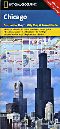
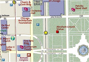 Scale 1:9,000. Size 18"x25". National Geographic edition. Exploring Chicago is as easy as unfolding this sturdy, laminated map. The front features a large-scale city map that highlights tourist and business travel locations with 3-D styled drawings. The back includes: Regional map; Points of interest; Map and information for Lake Shore Drive and Lincoln Park; Chicago Transit Authority map; O'Hare International and Midway International Airport diagrams.
 - $12.95
Item Code : MART8906
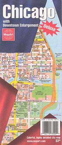
 Scale 1:31,200. Size 27"x40". MapArt edition.
 - $10.95
Item Code : UNIV8908
 Scale 1:37,000. Size 33"x43". Universal Map edition.
 - $10.95
Item Code : AMER8909
 Scale 1:48,000. Size 25"x36". American Map Company edition.
 - $10.95
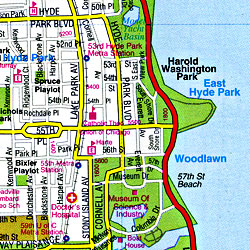
Item Code : AMER8910
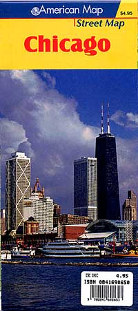
 Scale 1:6,300. Size 27"x32". American Map Company edition.
 - $10.95
Item Code : AMER8911

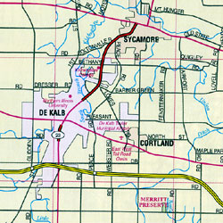 Scale 1:46,000. Size 36"x43". American Map Company edition. The Chicago, IL Metro 14-Counties fold map is a full-color, regional map, including the counties of: Boone, Cook, DeKalb, DuPage, Grundy, Kane, Kendall, Lake, McHenry, and Will, in Illinois; and Kenosha, Milwaukee, Racine, and Waukesha, in Wisconsin; and features: detailed street insets of Downtown Chicago and Downtown Milwaukee, Golf Courses, Parks and Rec Areas, Places of Interest, and Universities.
 - $10.95
Item Code : AMER8913
 Scale 1:34,000. Size 24"x27". American Map Company edition.
 - $12.95
Item Code : AMER8914
 Various scales. Size 21"x25". American Map Company edition. Laminated.
 - $10.95
Item Code : AMER8926
 Scale 1:29,500. Size 27"x39". American Map Company edition.
 - $12.95
Item Code : AMER8927
 Scale 1:33,000. Size 21"x25". American Map Company edition. Laminated.
 - $10.95
Item Code : RAND8930
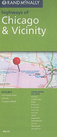
 Scale 1:139,000. Size 26"x37". Rand McNally edition. This map covers the major roads of a wider area around Chicago. Includes coverage of Chicago, Aurora, Crystal Lake, Elgin, Elmhurst, Evanston, Gary, IN; Gurnee, Joliet, Naperville, Schaumburg, Skokie, Waukegan, and Woodstock. Map size is 28 x 40 inches unfolded.
|
Illinois Road Maps |
