|
Saskatchewan Road Maps |
Saskatchewan
- $12.95
Item Code : MART12924
- $12.95
Item Code : MART12925
- $14.95
Item Code : GMJO8709
- $14.95
Item Code : GMJO8700
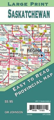
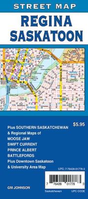
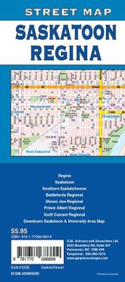
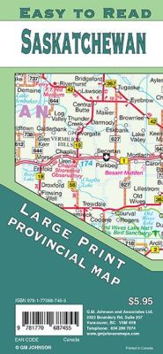 Scale 1:1,00,000. Size 27"x39". G.M. Johnson edition. This Map Coverage Area are Saskatchewan North, Saskatchewan South, Vicinity maps of Regina, Saskatoon, Estevan, Lloydminster, Moose Jaw, North Battleford, Prince Albert, Swift Current, Yorkton, Downtown Regina, Downtown Saskatoon, Saskatchewan distance chart.
 - $59.95 Rolled + 16.80 p&h or $66.80 foreign delivery
Item Code : ITMB4239
- $12.95
Item Code : MART12926
- $17.95
Item Code : ITMB12927
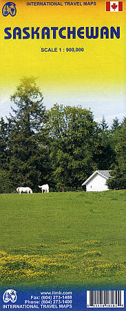
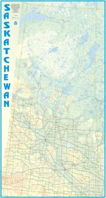
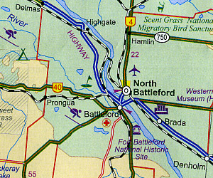 Scale 1:900,00. Size 27"x39". International Travel Maps edition. This double-sided map shows the developed southern part of the province on one side, with inset city map of Saskatoon and Regina. The reverse side shows the undeveloped north, which with its thousands of lakes is a recreation paradise. international Boundaries, Expressways, Time Zone Boundaries, Railways, Distance in Kilometers, Ferry Routes, Historic locations, Museums, Provincial Parks, National Parks or Wildlife Areas, Picnic Areas, and more.
 - $12.95
Item Code : MART21347
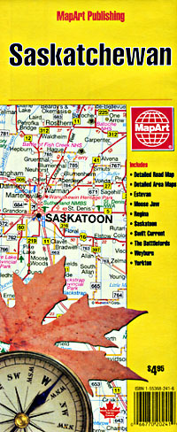
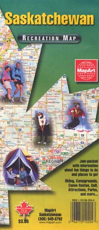
MapArt edition. Laminated province road maps. Longlasting, ideal for wet or muddy conditions. - $12.95
Item Code : MART12943
Scale 1:25,000. Size 28"x40". MapArt edition. Detailed city street map. - $10.95
Item Code : 12944
Saskatoon, Saskatchewan, Canada (see also "Regina, Saskatoon, and Moose Jaw, Saskatchewan, Canada") - $36.95 + $6.80 p&h or $22.80 foreign delivery
Item Code : MSIO12940
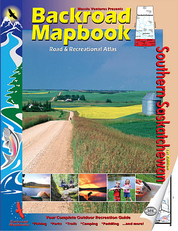
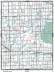 Size 8?"x11". 120 pages. Mussio Ventures Ltd edition. Includes recreational features, trail systems, symbols, management units and more. Shows complete classified road systems for major and secondary roads, road names and more; plus UTM grid and longitude and latitude: both grids are included for GPS users. Also includes comprehensive information on fishing, paddling, parks, trails, winter recreation and more.
 - $25.95 + $7.50 p&h or $28.50 foreign delivery
Item Code : MART21343
Various Scales. Size 8"x11". MapArt edition. With street mapping for Regina, Saskatoon, Moose Jaw, Prince Alberta, Creighton, Estevan, Flin Flon, Humboldt, Kindersley, La Ronge, Lloydminster, Meadow Lake, Melfort, Melville, Nipawin, Swift Current, The Battlefords, Yorkton, Weyburn and more. - $36.95 + $6.80 p&h or $18.80 foreign delivery
Item Code : MSIO21451
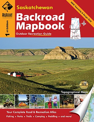
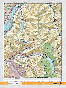 Size 8"x11". 208 pages. Mussio Ventures Ltd edition. Welcome to the premier edition of the Backroad Mapbook for Saskatchewan. Inside this guidebook you will find the most comprehensive outdoor recreation resource available for Saskatchewan. Discover a land that is much more than just prairies—although they are one of its greatest assets. The great prairie of Saskatchewan will allow you to see forever and the sky is bigger and bluer than city dwellers can imagine. As you travel north and south along the Saskatchewan-Alberta border you will find the highest point between the Rocky Mountains and Labrador in the incredible Cypress Hills and its lodgepole pine forests. You will also discover the Great Sand Hills, with their incredible shifting sands. The Trans-Canada Highway runs west to east cuts through the great prairie area. But if you leave the ribbon of asphalt, in less than half an hour’s drive you will find yourself following first the South Saskatchewan River at the Alberta border, into Lake Diefenbaker, then the Qu’Appelle Valley with its chain of lakes, until you reach the Manitoba border. Whatever kind of outdoor recreation you are looking for you can find it a stone’s throw from the Trans-Canada Highway.
 - $10.95
Item Code : 12941
Moose Jaw, Saskatchewan, Canada (please turn to "Regina, Saskatoon, and Moose Jaw, Saskatchewan, Canada") - $12.95
Item Code : MART12942
Scale 1:25,000. Size 28"x40". Detailed city street map. -
- $18.95
Item Code : MART21379
Various scales. Size 7"x 9". MapArt edition. With street mapping for Saskatoon and surrounding area. -
|
Saskatchewan Road Maps |


