
Ohio Road Maps | Detailed Travel Tourist Driving
|
Ohio Road Maps |
Ohio
- $10.95
Item Code : RAND12082
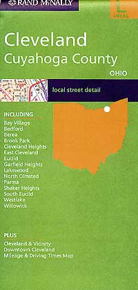
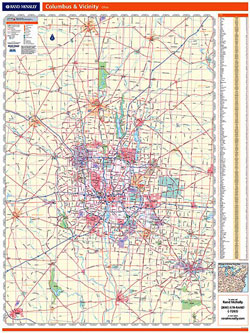
 Scale 1:41,000. Size 36"x45" (this is a big map!). Indexed. Rand McNally edition.
 - $10.95
Item Code : UNIV12083
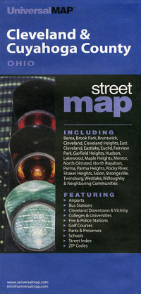
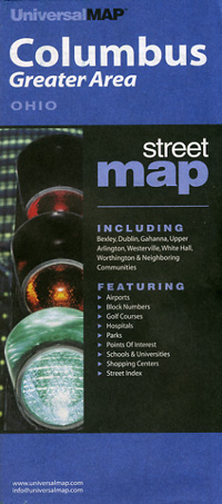
 Scale 1:49,000. Size 27"x40". Universal Map edition.
 - $10.95
Item Code : UNIV12084
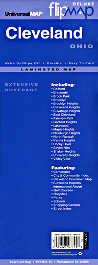
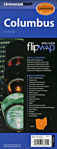
 Scale 1:47,000. Size 23"x26". Universal Map edition. Laminated.
 - $10.95
Item Code : AMER12085
 "Various scales". Size 10"x21". American Map Company edition. Laminated.
 - $259.00 Shipped rolled in a tube + $18.80 p&h
Item Code : RAND12088
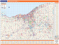
 Scale 1:165,000. Size 46"x60". Rand McNally edition. Laminated. Professional Grade.
 - $14.95
Item Code : GMJO12090
 Scale 1:33,000. Size 27"x39". G.M. Johnson edition.
 - $26.95 + $6.50 p&h or $16.50 foreign delivery
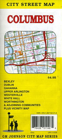
Item Code : GMJO12091
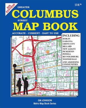
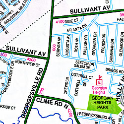 Scale 1:21,000. Size 8"x11". 115 pages. G.M. Johnson edition. This Map Coverage Area are Dublin, Gahanna, Grove City, Hillard, New Albany, Pickerton, Powell, Reynoldsburg, Westerville (We only sell the latest edition of this atlas, whatever year that may be.)
 - $10.95
Item Code : RAND12092
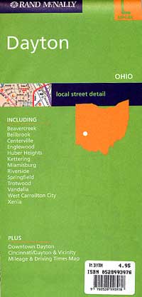
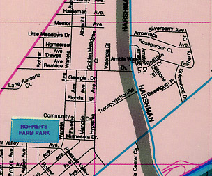
 Scale 1:34,000. Size 36"x45". Rand McNally edition. Detailed city street map.
 - $10.95
Item Code : UNIV12093
 Scale 1:44,000. Size 37"x39". Indexed. Universal Maps edition.
 - $11.95
Item Code : UNIV12095
 Scale 1:43,000. Size 22"x25". Universal Maps edition. Laminated.
 - $259.00 Shipped rolled in a tube + $18.80 p&h
Item Code : RAND12098
 Scale 1:89,000. Size 46"x60". Rand McNally edition. Laminated. Professional Grade.
 - $249.95 + $24.80 p&h (add $40 for spring rollers)
Item Code : UNIV12067
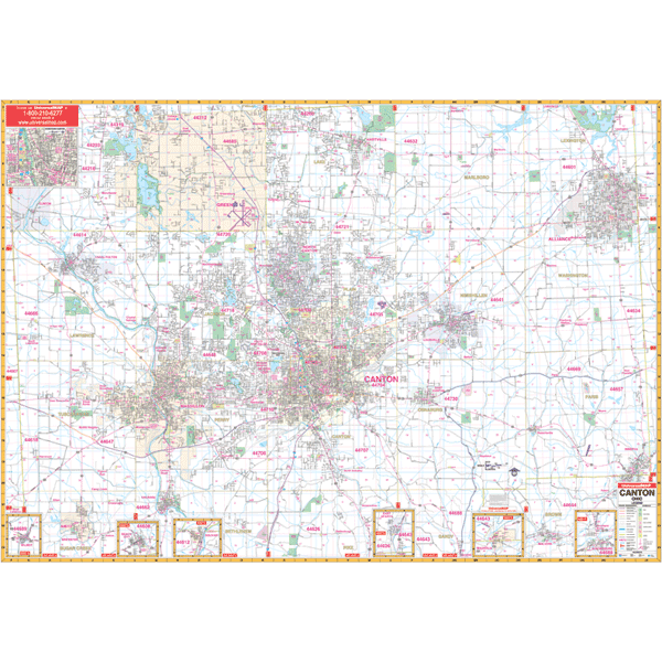 Size 70" W x 54" H. Laminated. The Canton, Ohio Wall Map by Universal Map provides up-to-date cartography in complete street detail with over 500 new streets and changes. Area of coverage ranges north to the Portage/Stark County line including all of Green's city limits; south to Malvern, Brewster, and Navarre; east to the Columbiana/Stark County line and Alliance; and west to the Wayne/Stark County line. Provides insets of Wilmot, Beach City, Bolivar, East Sparta, Magnolia, Waynesburg, and Downtown Canton. Shows all streets/highways, government buildings, airports, golf courses/country clubs, railroads, longitude/latitude lines, ZIP codes/boundaries, shopping centers, recreational parks, mileage circles, cemeteries, educational facilities, hospitals, post offices, city limits and annexations, fire/police stations, and more points of interest. Measures 70 by 54 inches, lithographed in 8 colors, laminated, and indexed in a separate book. Framing rails are included on top and bottom for easy wall mounting. Railed wall maps can be turned into pull down maps on spring rollers for an additional $40.
 - $249.95 + $24.80 p&h (add $40 for spring rollers)
Item Code : UNIV12076
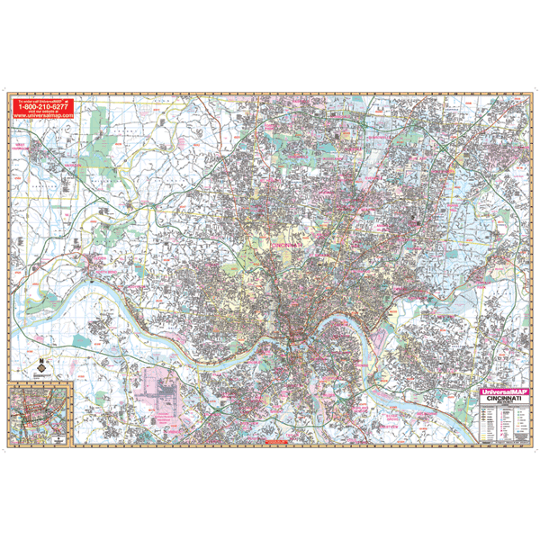 Scale 1:2,346. Size 77" W x 54" H. Laminated. Provides up-to-date cartography with new streets and changes. Printed in color with a markable/washable-laminated surface. Streets indexed in a separate book. Framing rails are included on top and bottom for easy wall mounting. Area of coverage: North: to the Hamilton/Butler County line; South: to include I-275 Loop and the Cincinnati/Northern Kentucky International Airport; East: to Include I-275 Loop at Exit 57 and Exit 59 at Milford; West: to the Indiana/Ohio State Line. Also includes a detailed inset map of Downtown Cincinnati. Details include: hospitals, airports, schools, parks, shopping centers, cemeteries, golf and country clubs, post offices, government buildings, mileage circles, ZIP codes and boundaries, city limits and annexations, township names and boundaries, water features, fire/police stations, highways and exits, and local points of interest.
 - $249.95 + $24.80 p&h (add $40 for spring rollers)
Item Code : UNIV12077
 Scale 1:125,000. Size 54" W x 64" H. Laminated. The 1st edition Wall Map of Cincinnati and Dayton, Ohio and vicinity and surrounding 13 counties by Universal Map. Printed in color with a markable and washable laminated surface with hanging rails mounted on top and bottom. Cities are indexed on the face of the map. Area of coverage includes all of the counties of Butler, Clermont, Greene, Hamilton, Montgomery, Preble, and Warren; portions of Brown, Clark, Clinton, Darke, Highland, and Miami Counties with the following boundaries: North: including Tipp City in Miami County, and Springfield and Nothridge in Clark County; South: including Boone, Kenton, and Campbell Counties in Kentucky; East: including New Vienna in Clinton County; West: to the Indiana State line. Details include major streets and all highways, county lines and names, mileage circles, ZIP codes and boundaries, airports and parks, water features, and longitude/latitude lines. Railed wall maps can be turned into pull down maps on spring rollers for an additional $40.
 - $249.95 + $24.80 p&h (add $40 for spring rollers)
Item Code : UNIV12080
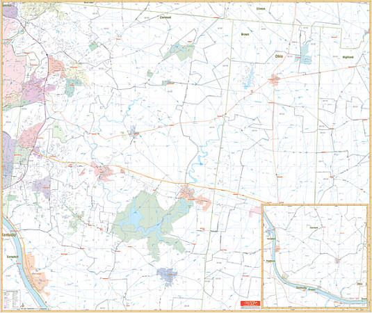 Scale 1:2,436. Size 64" W x 54" H. Laminated. Printed in color with a markable/washable--laminated surface. Street index provided in a separate book. Framing rails are included on top and bottom for easy wall mounting. Railed wall maps can be turned into pull down maps on spring rollers for an additional $40. Area of coverage: All of Clermont County & parts of Northern Brown & Highland Counties with the following boundaries: North: to the Warren County line; South: to the Kentucky State line; East: to include Fayetteville & St. Martin in Brown County; West: to the Hamilton County line. Details include all streets and highways, government buildings, airports, water features, fire/police stations, hospitals, shopping centers, educational facilities, railroads, recreational parks, golf/country clubs, post offices, mileage circles, city limits/annexations, cemeteries, longitude & latitude, ZIP codes/boundaries, and points of interest.
 - $249.95 + $24.80 p&h (add $40 for spring rollers)
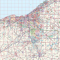
Item Code : UNIV12089
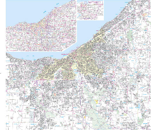 Scale 1:3,520. Size 58" W x 54" H. Laminated. The 2007, 4th edition Cleveland and Cuyahoga County, Ohio Wall Map by Universal Map. Includes up-to-date cartography with new streets and changes. Printed in color with a laminated-markable/washable finish. Indexed in a separate book. Area of Coverage: all of Cuyahoga County with the boundaries as follows: North: to Lake Erie; South: To Rt. 80, showing 80 and 480 interchange, and Richfield; East: to SR 306, including Willoughby; West: To Avon Lake in Lorain County. Inset: Downtown Cleveland (shows Rock & Roll Hall of Fame, Gund Arena and Jacob's Field) Northeast Ohio, a 7-county area map. The Special Features and Data are as follows: all streets/highways, educational facilities, hospitals, government buildings, golf/country clubs, fire/police stations, water features, post offices, shopping centers, airports, cemeteries, recreational parks, points of interest, city limits and annexations, ZIP code numbers/boundaries, railroads, latitude/longitude lines, and mileage Circles. Framing rails are included on top and bottom for easy wall mounting. Railed wall maps can be turned into pull down maps on spring rollers for an additional $40.
 - $249.95 + $24.80 p&h (add $40 for spring rollers)
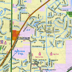
Item Code : UNIV12099
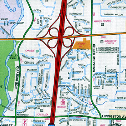
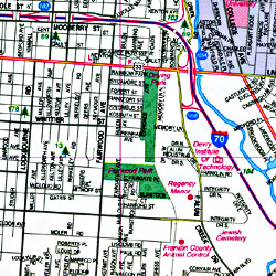
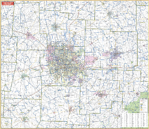
 Scale 1:3,000. Size 58" W x 54" H. Laminated. The 8th Edition Columbus/Franklin County, Ohio Wall Map by Universal Map. This map provides up-to-date cartography with new streets and changes. It is printed in color with a markable and washable laminated surface. Streets are indexed in a separate book. The special features and data include all streets and highways, post offices, hospitals, water features, recreational parks, mileage circles, city limits and annexations, cemeteries, shopping centers, block numbers, golf courses and country clubs, ZIP codes and ZIP code boundaries, airports and railroads, government buildings, fire and police stations, educational facilities, longitude and latitude lines, and other points of interest. The area of coverage is all of Franklin County with the following boundaries: North: to include the cities of Dublin, Westerville, Shawnee Hills, and Powell; South: to the Franklin County line; East: to include the cities of Pataskala and Johnstown; West: to the Franklin County line. There are inset maps of Downtown Columbus, Centerburg, Delaware, Galena, Hartford, Ostrander, and Sunbury. Framing rails are included on top and bottom for easy wall mounting. Railed wall maps can be turned into pull down maps on spring rollers for an additional $40.
 - $249.95 + $24.80 p&h (add $40 for spring rollers)
Item Code : UNIV12100
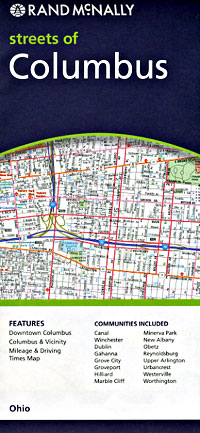
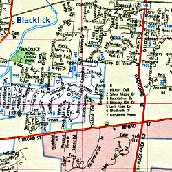
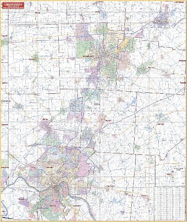
 Scale 1:165,000. Size 62" W x 54" H. Laminated. The 2nd edition Wall Map of Columbus, Ohio and vicinity by Universal Map includes portions of surrounding 8 counties. printed in color with a markable and washable laminated surface, city indexing on the face of the map, and contains hanging rails on top and bottom. Railed wall maps can be turned into pull down maps on spring rollers for an additional $40. The area of coverage includes urban and suburban Columbus and all of Franklin, Union, Delaware, Licking, Madison, Pickaway, and Fairfield Counties. Boundaries range: North: includes Cardington, Fredericktown, and Gann; South: includes Washington, Clarksburg, Kingston, and Adelphi; East: includes Gratiot, Nellie, Frazeyburg, New Lexington; West: Includes Mechanicsburg, Milledgeville, South Charleston. Details include major streets and all highways, county lines and names, mileage circles, ZIP codes and boundaries, airports and parks, and water features.
 - $10.95
Item Code : RAND12101
 Scale 1:29,500. Size 36"x45". Rand McNally edition.
 - $11.95
Item Code : UNIV12103

 Size 23"x26". Universal Maps edition. Laminated.
|
Ohio Road Maps |
