
|
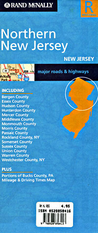
New Jersey Road Maps |
New Jersey
- $229.95 + $24.80 p&h (add $40 for spring rollers)
Item Code : UNIV11146
Scale 1:2,100. Size 54" W x 72" H. Laminated. Printed in color with a markable, washable-laminated surface. Streets are indexed in a separate book. Hanging rails included mounted top and bottom. The area of coverage includes all of Cape May County with the following boundaries: North: Upper Township; South: Cape May Point and Cape May City; East: Ocean City; West: Cape May Point and Dennis Township. Details include streets and highways, government buildings, airports, mileage circles, water features, hospitals, shopping centers, educational facilities, railroads, recreational parks, golf courses and country clubs, cemeteries, ZIP code numbers/boundaries, city limits/annexations, and points of interest. Railed wall maps can be turned into pull down maps on spring rollers for an additional $40. - $10.95
Item Code : ADCM11147
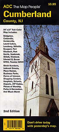
 Scale 1:48,000. Size 27"x39". ADC Maps edition.
 - $249.95 + $24.80 p&h (add $40 for spring rollers)
Item Code : UNIV11148
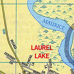
 Scale 1:2,640. Size 64" W x 54" H. Laminated. Printed in color with a markable/washable-laminated surface. Streets indexed in a separate book. Includes hanging rails mounted top and bottom. Area of coverage: North: to the Salem/Gloucester County line; South: to Maurice River Cove and Delaware Bay; East: to the Atlantic/Cumberland County line; West: to the Salem County line and Delaware Bay. Includes an inset of Bridgeton. Details provided: streets and highways, government buildings, airports, water feature, fire/police stations, hospitals, shopping centers, educational facilities, railroads, recreational parks, golf and country clubs, post offices, ZIP code numbers/boundaries, city limits/annexations, cemeteries, mileage circles, and points of interest. Special Feature provides a page overlay corresponding with the Franklin Atlas for Cumberland County. Railed wall maps can be turned into pull down maps on spring rollers for an additional $40.
 - $10.95
Item Code : RAND11149
 Scale 1:30,000. Size 28"x40". Rand McNally edition. Detailed city street map.
 - $229.95 + $24.80 p&h (add $40 for spring rollers)
Item Code : UNIV11153
Scale 1:3,128. Size 54" W x 60" H. Laminated. Printed in color with a markable, washable-laminated surface. Streets are indexed in a separate book. Hanging rails included mounted top and bottom. The area of coverage includes all of Gloucester County with the following boundaries: North: West Deptford; South: Franklin: East: Monroe; West: Logan. Includes a special page overlay to match Franklin Maps' Street Atlas. Details include streets and highways, government buildings, airports, mileage circles, water features, hospitals, shopping centers, educational facilities, railroads, recreational parks, golf courses and country clubs, cemeteries, ZIP code numbers/boundaries, city limits/annexations, and points of interest. Railed wall maps can be turned into pull down maps on spring rollers for an additional $40. - $10.95
Item Code : RAND11155
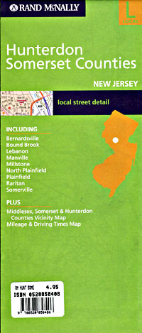
 Scale 1:30,000. Size 28"x40". Rand McNally edition.
 - $249.95 + $24.80 p&h (add $40 for spring rollers)
Item Code : UNIV11156
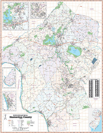 Scale 1:3,128. Size 54" W x 60" H. Laminated. This Wall Map of Hunterdon County, New Jersey is published by Geographia Maps. Printed in color with a markable/washable-laminated surface. Indexed in a separate book. Includes hanging rails mounted top and bottom. Area of coverage: North: to Warren/Morris-Hunterdon County line; South: Mercer/Hunterdon County line; East: Somerset/Hunterdon County line; West: Penn State line. Details included: airports, cemeteries, hospitals, railroads, post offices, ZIP codes, streets/highways, shopping centers, recreational parks, mileage circles, shopping centers, government buildings, fire/police stations, educational facilities, golf/country clubs, city limits/annexations, and points of interest. Railed wall maps can be turned into pull down maps on spring rollers for an additional $40.
 - $12.95
Item Code : AMER11157
 "Various scales". Size 20"x25". American Map Company edition. Laminated.
 - $10.95
Item Code : 11158
Mercer County, New Jersey, America (please turn to "Trenton County and Mercer County, New Jersey, America") - $10.95
Item Code : RAND11159
 Scale 1:33,000. Size 36"x45". Rand McNally edition. Detailed city street map.
 - $229.95 + $24.80 p&h (add $40 for spring rollers)
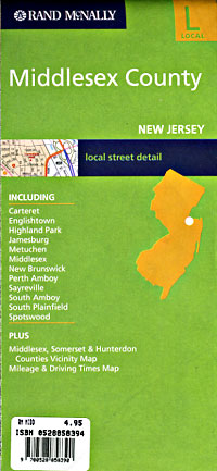
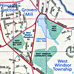
Item Code : UNIV11161
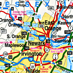
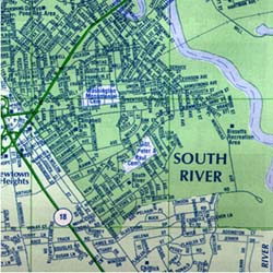
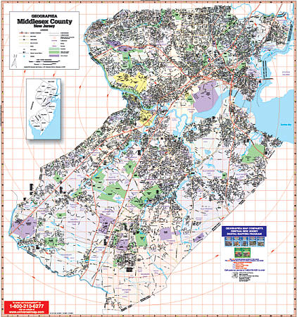 Scale 1:2,640. Size 54" W x 64" H. Laminated. Printed in color with a markable/washable-laminated surface. Streets indexed in a separate book. Includes hanging rails mounted top and bottom. Covers all of Middlesex County with the following boundaries: North: to the Union County line; South: Monmouth/Mercer County line; East: to shore line; West: Somerset County line. Includes: streets and highways, post offices, hospitals, points of interest, mileage circles, government buildings, cemeteries, shopping centers, water features, recreational parks, ZIP codes, airports and railroads, fire and police stations, educational facilities, golf and country clubs, and city limits/annexations. Railed wall maps can be turned into pull down maps on spring rollers for an additional $40.
 - $10.95
Item Code : RAND11162
 Scale 1:34,000. Size 28"x40". Rand McNally edition.
 - $249.95 + $24.80 p&h (add $40 for spring rollers)
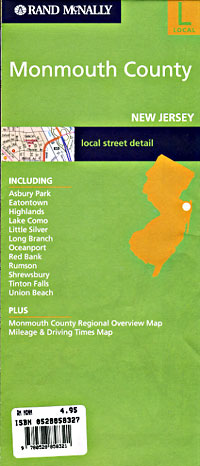
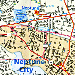
Item Code : UNIV11164
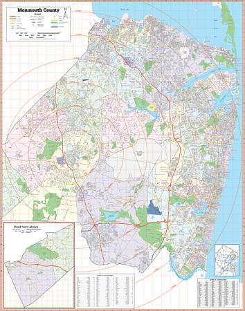 Scale 1:2,640. Size 60" W x 75" H. Laminated. Printed in color with a markable/washable-laminated surface. Indexing provided in a separate book. Includes hanging rails mounted top and bottom. Area of coverage: North: to Middlesex/Monmouth County line; South: Ocean/Monmouth County line; East: to the Atlantic Ocean; West: Mercer/Burlington-Monmouth County line. Details included: airports, cemeteries, hospitals, railroads, post offices, ZIP codes, streets/highways, shopping centers, recreational parks, mileage circles, shopping centers, government buildings, fire/police stations, educational facilities, golf/country clubs, city limits/annexations, and points of interest. Railed wall maps can be turned into pull down maps on spring rollers for an additional $40.
 - $10.95
Item Code : RAND11165
 Scale 1:25,000. Size 28"x40". Rand McNally edition. Detailed city street map.
 - $249.95 + $24.80 p&h (add $40 for spring rollers)
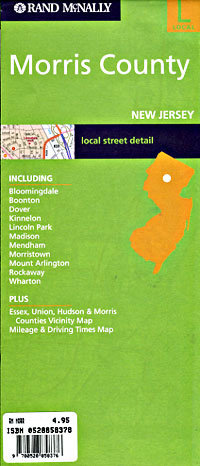
Item Code : UNIV11167
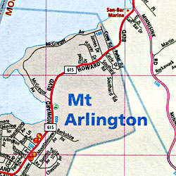
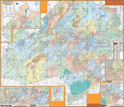 Scale 1:3,128. Size 54" W x 60" H. Laminated. Printed in color with a markable/washable-laminated surface. Streets indexed in a separate book. Contains hanging rails mounted top and bottom. Area of coverage: All of Morris County, with the following boundaries: North: to the Sussex and Pasiaic County lines; South: to the Hunterdon-Somerset County lines; East: to the Essex, Union and Bergen County lines; West: to the Warren County line. There is a special page overlay to match Franklin Maps Street Atlas. Details include all state highways, government buildings, airports, water features, fire/police stations, hospitals, shopping centers, educational facilities, railroads, recreational parks, golf/country clubs, post offices, city limits/annexations, cemeteries, ZIP codes/boundaries, longitude/latitude, mileage circles, and points of interest. Railed wall maps can be turned into pull down maps on spring rollers for an additional $40.
 - $10.95
Item Code : UNIV11168
 Scale 1:23,000. Size 19"x25". Universal Map edition.
 - $10.95
Item Code : RAND11170
 Scale 1:36,000. Size 28"x40". Rand McNally edition.
 - $249.95 + $24.80 p&h (add $40 for spring rollers)
Item Code : UNIV11172
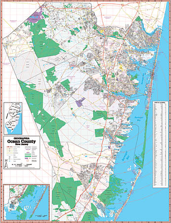
 Scale 1:3,588. Size 54" W x 70" H. Laminated. Printed in color with a markable & washable, laminated surface. Provides separate book indexing. Includes hanging rails mounted top and bottom. The area of coverage includes all of Ocean County, with the following boundaries: North: to Monmouth/Ocean County line; South: Great Bay; East: to the Atlantic Ocean; West: to the Burlington/Ocean County line. Details include airports, streets & highways, government buildings, cemeteries, shopping centers, fire & police stations, hospitals, educational facilities, railroads, recreational parks, golf & country clubs, post offices, mileage circles, city limits & annexations, ZIP codes, longitude & latitude lines, and points of interest. Railed wall maps can be turned into pull down maps on spring rollers for an additional $40.
 - $10.95
Item Code : RAND11173
 Scale 1:30,000. Size 28"x40". Rand McNally edition. Detailed city street map.
 - $249.95 + $24.80 p&h (add $40 for spring rollers)
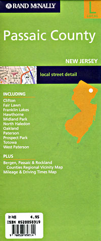
Item Code : UNIV11174
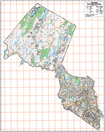
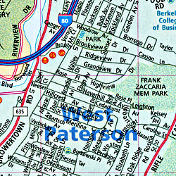
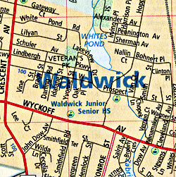
 Scale 1:2,640. Size 52" W x 66" H. Laminated. Printed in color with a markable/washable--laminated surface. Street index provided on the face of the map. Framing rails are included on top and bottom for easy wall mounting. Railed wall maps can be turned into pull down maps on spring rollers for an additional $40. Area of coverage: All of Passaic County with the following boundaries: North: to the Sussex/Orange County lines; South: Essex County line; East: Bergen County line; West: Morris/Sussex County line. Details include all streets and highways, government buildings, airports, water features, fire/police stations, hospitals, shopping centers, educational facilities, railroads, recreational parks, golf/country clubs, post offices, city limits/annexations, cemeteries, longitude & latitude, ZIP codes/boundaries, and points of interest.
|
New Jersey Road Maps |
