|
Nepal Trekking Maps |
Nepal Trekking Maps (Annapurna, etc)
-
-
-
-
-
-
-
-
- $17.95
Item Code : NELS10906
- $23.95
Item Code : GEKO10963
- $16.95
Item Code : NATL10919
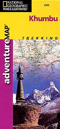
 Scale 1:125,000. Nepa edition. Follow National Geographic to one of the world's most exotic locations with this comprehensive adventure map. Includes: Full map of Nepal and detail map on Kathmandu on the reverse side; Useful guide and trekking information; Trails Illustrated folded topographic map detailing the Everest trail: Jiri, Lukla, Namche Bazaar, Sagarmatha National Park, and Everest Base Camp.
 - $16.95
Item Code : NEPA10918
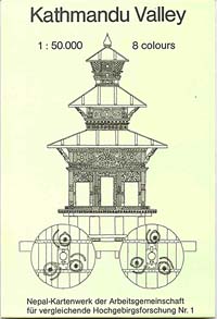
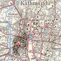
Scale 1:50,000. Nepa edition. An excellent topographic map of the Kathmandu Valley showing all of the highlights. The map covers Bhaktapur, Patan, Kirtipur, Dakshin Kali, Dhulikhel, Budhanilka, Pashupatinath, Swayambhunath, Monkey Temple, Bouddhanath, Gokharna, Shivapuri, Banepa, Panauti, Namo Buddha, Thimi, Changu Narayan, Sankhu, Nagarkot, Kakani, Balaju, Nagarjun, Ichangu, Phulchoki, Pharping, Chobar, Bungamati, Khokana, Lele, and Bisanku. With a listing of highlights, an index, and latitude and longitude markings -
-
- $17.95
Item Code : NELS10907
- $17.95
Item Code : NEPA10916
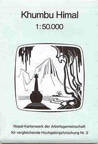
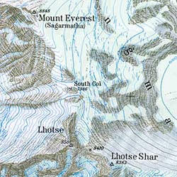
Scale 1:50,000. Nepa/National Geographic/Trails Illustrated edition. The map covers Lukla, Namche Bazaar, Tyangboche, Pangboche, Pheriche, Lobuche, Kalapatthar, Khumbu Glacier, and Cho La Pass. With latitude and longitude markings and 40 meter contours. With index. The reverse side has a shaded relief map of Nepal and descriptive text and photos. Printed on water-proof, tear-resistant, lightweight, paper-like plastic - $17.95
Item Code : NEPA10928
Scale 1:50,000. Indexed. Nepa edition. This map covers Lukla, Namche Bazaar, Khumjung, Machhermo, Gokyo, Cho La Pass, Renjo Pass, Thame, Cho Oyu Base Camp, and Sagarmatha National Park. With latitude/longitude markings and 40 meter contours - $16.95
Item Code : NEPA10941
Scale 1:135,000. Nepa edition. This topographic map shows the route from Jumla to Lower Dolpo. The map covers, Jumla, Gothichour, Chaurikot, Kagmara La, Pungmo, Poskumdo, Baga La, Numa La, Dho Tarap, Tarakot, Dunai, and Juphal - $16.95
Item Code : NEPA10951
Upper Dolpo (Shey Poksumdo). Scale 1:125,000. Includes Jomosom, Sangdak P'a, Dho Tarap, Karang, Shey Gomba, Ringmo, and Juphal - $16.95
Item Code : NEPA10953
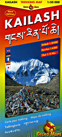
Scale 1:1,700,000. With detailed trails, driving distances, and elevations. Covering Lhasa, Lhatse, Kailas, Paryang, Dongba, and Kathmandu.
|
Nepal Trekking Maps |


