
Michigan Road Maps | Detailed Travel Tourist Drivig
|
Michigan Road Maps |
Michigan
- $14.95
Item Code : GMJO22867
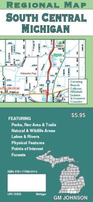
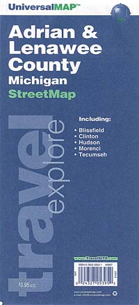
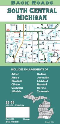 Scale 1:144,000. Size 27"x39". G.M. Johnson edition. This Map Coverage Area are Hudson, Jonesville, Litchfield, Marshall, Morenci, Tecumseh, Adrian, Albion, Blissfield, Clinton, Coldwater, Hillsdale.
 - $14.95
Item Code : GMJO22868
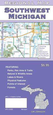
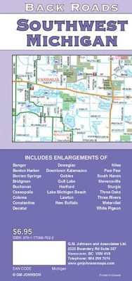 Scale 1:144,000. Size 27"x39". G.M. Johnson edition. This Map Coverage Area are Cass, Kalamazoo, Saint Joseph & Van Buren Counties, Bangor, Benton Harbor, Berrien Springs, Bridgman, Buchanan, Cassopolis, Coloma, Constantine, Decatur, Niles, Paw Paw, South Haven, Stevensville, Sturgis, Three Oaks, Three Rivers, Watervliet, White Pigeon, Dowagiac, Kalamazoo, Gobles, Gull Lake, Hartford, Lake Michigan Beach, Lawton, New Buffalo.
 - $14.95
Item Code : GMJO22865
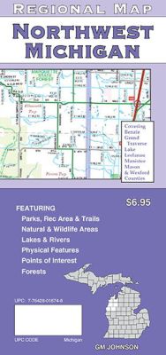
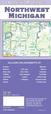 Scale 1:160,000. Size 27"x39". G.M. Johnson edition. This Map Coverage Area are Arcadia, Baldwin, Bear Lake, Cadillac, Copemish, Elberta, Empire, Manistee, Manton, Onekama, Scottville, Suttons Bay, Thompsonville, Traverse City, Fife Lake, Glen Arbor, Lake Leelanau, Leland, Ludington.
 - $14.95
Item Code : GMJO22866
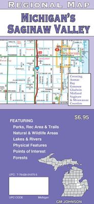
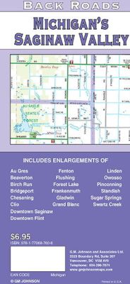 Scale 1:144,000. Size 27"x39". G.M. Johnson edition. This Map Coverage Area are Au Gres, Beaverton, Birch Run, Bridgeport, Chesaning, Clio, Fenton, Flushing, Forest Lake, Frankenmuth, Gladwin, Grand Blanc, Linden, Owosso, Pinconning, Standish, Sugar Springs, Swartz Creek, Saginaw, Flint.
 - $14.95
Item Code : GMJO22869
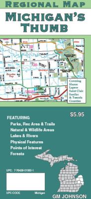
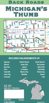 Scale 1:160,000. Size 27"x39". G.M. Johnson edition. This Map Coverage Area are Algonac, Almont, Bad Axe, Caro, Caseville, Cass City, Croswell, Harbor Beach, Imlay City, Lapeer, Lexington, Marine City, Marlette, North Branch, Port Austin, Saint Clair, Sandusky, Sebewaing, Vassar, Yale.
 - $27.95 + $7.50 p & h or $28.50 foreign delivery
Item Code : DELR10495
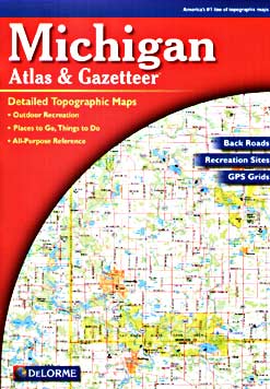
 Scale 1:150,000. Full size, 11x15?". 120 pages. DeLorme edition. Designed for those who want to get off the beaten path, this atlas shows all types of roads and tracks, cities, towns, hamlets, and provides topographic maps that show hiking trails, campgrounds, fishing spots, ski areas, and more. Contains a guide to state and national parks and recreation areas, historic sites, and unique natural areas. Comprehensive index enables the user to find locations quickly and easily. Great for car or backpack! Saddle-stitched, durable laminated paper cover. (We only sell the latest edition of this atlas, whatever year that may be.)
 - $46.95 + $7.50 p & h or $28.50 foreign delivery
Item Code : UNIV10496
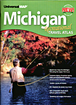
 Scale 1:125,000. Size 11"x18". 158 pages. Universal Map edition.
 - $259.00 Shipped rolled in a tube + $24.80 p&h
Item Code : RAND10498
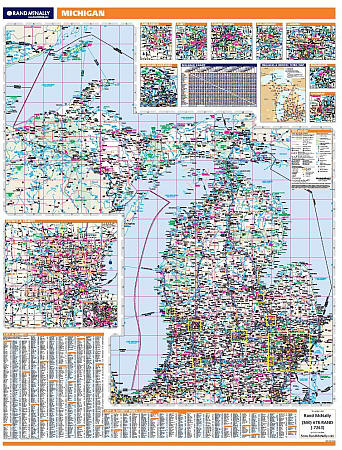 Scale 1:960,000. Size 60" W x 46" H. Laminated. Rand McNally's regional wall map of Michigan is ideal for anyone needing a comprehensive representation of the area for planning, routing, or reference. It's a great choice for business and sales strategy, urban development, social work outreach, education, and marketing. Michigan residents, businesses, and government offices are sure to find this wonderful reference tool irreplaceable. ?The laminated wall map is printed with UV-resistant ink to help prevent color fading. ?Map details include state highways, federal highways, county highways, county boundaries, city shading, cities and towns, major waterways, state/national parks, campsites, exit numbers, rest areas, military installations, airports, golf courses, universities, and much more. ?You'll also find a city/county index on the map, a mileage chart with 900 mileage pairs between 30 cities, and a driving times map between major cities in the region. ?This truly complete wall map even includes a hanging kit with rails for easy mounting just about anywhere. Inset maps include: Ann Arbor, Detroit & Vicinity, Detroit downtown, Flint, Grand Rapids, Kalamazoo, Lansing, Muskegon, and Saginaw.
 - $249.95 + $24.80 p&h (add $40 for spring rollers)
Item Code : UNIV10499
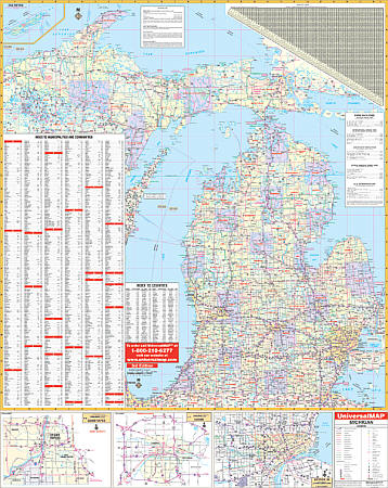 Size 54" W x 68" H. Laminated. The Michigan State Wall Map by Universal Map features color-coded counties, a mileage chart between major cities, durable lamination that is both markable and washable, indexing on the face of the map. Data, details, and information includes all state and federal highways, major waterways, state universities, military installations, state police posts, major airports, state and national parks, county names and boundaries, cities and towns, hospitals, wild life areas, and points of interest. Framing rails are included on top and bottom for easy wall mounting. Railed wall maps can be turned into pull down maps on spring rollers for an additional $40.
 - $229.95 + $24.80 p&h (add $40 for spring rollers)
Item Code : UNIV10500
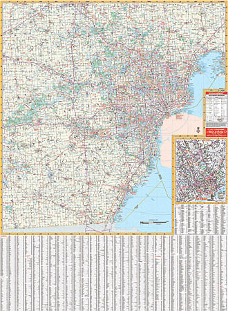 Scale 1:165,000. Size 46" W x 64" H. Laminated. The 3rd edition railed Southeast Michigan Wall Map by Universal Map shows Livingston, Macomb, Monroe, Oakland, Washtenaw, and Wayne. Features all national interstates, U.S./state highways, all principal county and municipal roads in detail, airports, government buildings, shopping centers, golf courses/country clubs, mileage circles, city limits/annexations, railroads, fire/police stations, hospitals, block numbers, educational facilities, ZIP codes/boundaries, recreational parks, water features, longitude/latitude lines, and more. Printed in color with a markable and washable laminated surface. Cities indexed on the face of the map. Framing rails are included on top and bottom for easy wall mounting. Railed wall maps can be turned into pull down maps on spring rollers for an additional $40.
 - $249.95 + $24.80 p&h (add $40 for spring rollers)
Item Code : UNIV10501
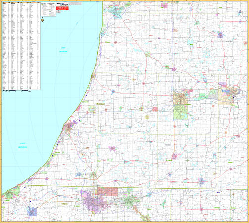 Scale 1:160,000. Size 60" W x 54" H. Laminated. Printed in color with a markable/washable-laminated surface. Cities and towns indexed on the face of the map. Includes hanging rails mounted top and bottom. Area of Coverage: all of the following 7 counties: Allegan, Barry, Berrien, Cass, Kalamazoo, St. Joseph, and Van Buren. Portions of the following 6 counties: Branch, Calhoun in Michigan and Elkhart, Lagrange, La Porte, St. Joseph, and Stueben in Indiana. Boundaries: North: to include Holland Michigan; South: to include La Porte and Goshen, Indiana; East: to include Battle Creek; West: to include Michigan City, Indiana. Details major streets and highways, ZIP codes/boundaries, longitude/latitude, county lines, mileage circles, water features, airports, and parks. Railed wall maps can be turned into pull down maps on spring rollers for an additional $40.
 - $10.95
Item Code : UNIV10504
 "Various scales". Size 18"x24". Universal Map edition.
 - $10.95
Item Code : UNIV10506
 Scale 1:50,000. Size 34"x44". Universal Map edition.
 - $11.95
Item Code : UNIV10507
 Scale 1:38,000. Size 22"x25". Universal Map edition. Laminated.
 - $19.95 + $7.50 p&h or $28.50 foreign delivery
Item Code : UNIV10508
 Scale 1:34,000. Size 8?"x11". 55 pages. Universal Map edition.
 - $10.95
Item Code : RAND10509
 Scale 1:29,000. Size 26"x37". Rand McNally edition.
 - $14.95
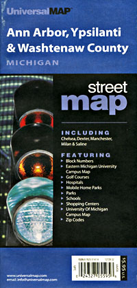
Item Code : GMJO22872
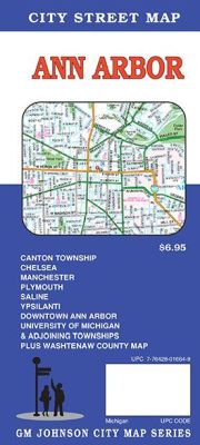
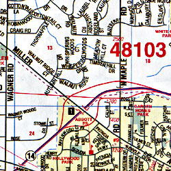
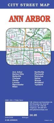 Scale 1:36,000. Size 27"x39". G.M. Johnson edition. This Map Coverage Area are Ann Arbor, Barton Hills, Belleville, Chelsea, Dexter, Livonia, Manchester, Milan, Northville, Plymouth, Romulus, Saline, Wayne, Westland, Ypsilanti.
 - $249.95 + $24.80 p&h (add $40 for spring rollers)
Item Code : UNIV10505
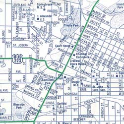
 Scale 1:2,913. Size 67" W x 54" H. Laminated. Printed in color with a markable/washable-laminated surface. Streets are indexed in a separate book. Has hanging rails mounted top and bottom. Covers all of Lenawee County with the following boundaries: North: to the Jackson and Washtenaw County lines; South: to the Ohio State line; East: to the Monroe County line; West: to the Hillsdale County line. Details include all streets and highways, government buildings, airports, water features, fire/police stations, hospitals, shopping centers, educational facilities, railroads, recreational parks, golf/country clubs, post offices, city limits/annexations, cemeteries, range/township/section lines, mileage circles, ZIP codes/boundaries, and points of interest. Railed wall maps can be turned into pull down maps on spring rollers for an additional $40.
 - $249.95 + $24.80 p&h (add $40 for spring rollers)
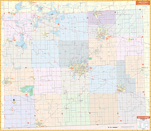
Item Code : KAPA21113
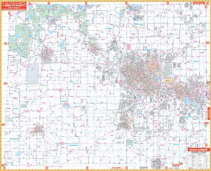 The 2006, 3rd. edition Ann Arbor-Washtenaw County, Michigan Wall Map by Kappa Map Group measures 64” W x 54” H in complete street detail at a scale of 1” = 2,600 feet. Provides up-to-date cartography with new streets and changes. Printed in color with a markable/washable-laminated surface. Streets indexed in a separate book. Mounting rails provided top and bottom for ease in hanging. Area of coverage: North: To Oakland and Livingston County Line. South: To Lenawee County Line including Milan. East: To Wayne County Line. West: To Jackson County Line. Details: all streets, all highways, educational facilities, government buildings, shopping centers, hospitals, ZIP codes and boundaries, post offices, fire and police stations, airports, cemeteries, recreational parks, golf and country clubs, points of interest, city limits and annexations, railroads, mileage circles, Water features, block numbers, longitude/latitude lines, school districts, range, township and section lines. Railed wall maps can be turned into pull down maps on spring rollers for an additional $40.
 - $19.95 + $7.50 p&h or $28.50 foreign delivery
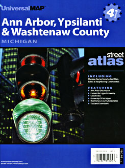
Item Code : UNIV22891
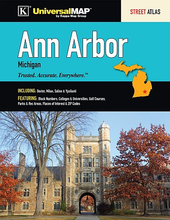 Universal Map edition. The Ann Arbor, MI Atlas is a full-color street atlas, including: Dexter, Milan, Saline, and Ypsilanti; and features: Block Numbers, Colleges and Universities, Golf Courses, Parks and Rec Areas, Places of Interest, and ZIP Codes.
|
Michigan Road Maps |
