
|
Massachusetts Road Maps |
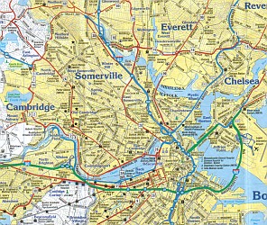
Massachusetts
- $14.95
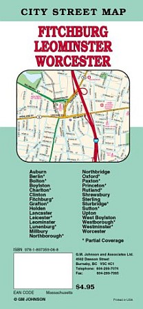
Item Code : GMJO10180
 Scale 1:38,000. Size 27"x39". G.M. Johnson edition.
 - $10.95
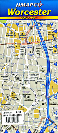
Item Code : RAND10181
 Scale 1:30,000. Size 28"x40". Rand McNally edition.
 - $10.95
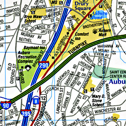
Item Code : AMER10182
 Scale 1:24,000. Size 27"x40". American Map Company edition.
 - $10.95
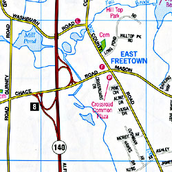
Item Code : AMER10183
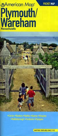
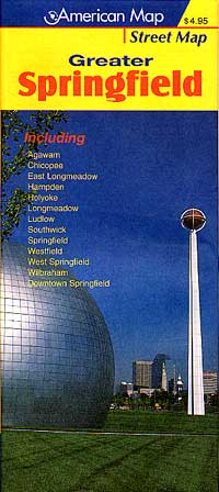
 Scale 1:26,000. Size 27"x40". American Map Company edition.
 - $14.95
Item Code : GMJO10184
 Scale 1:38,000. Size 27"x39". G.M. Johnson edition.
 - $10.95
Item Code : RAND10185
 Scale 1:32,000. Size 28"x40". Rand McNally edition.
 - $10.95
Item Code : AMER10186
 Scale 1:30,000. Size 27"x40". American Map Company edition.
 - $10.95
Item Code : AMER10188
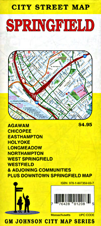
 Scale 1:25,000. Size 26"x36". American Map Company edition.
 - $14.95
Item Code : GMJO10189
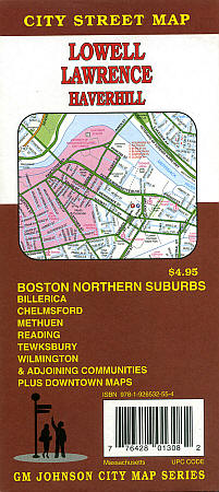
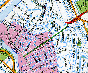
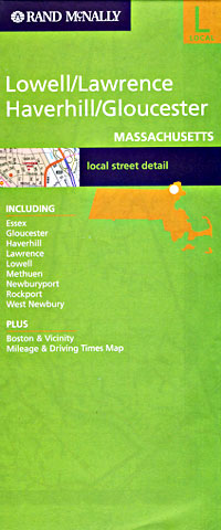
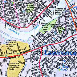
 Scale 1:38,000. Size 27"x39". G.M. Johnson edition.
 - $14.95
Item Code : GMJO10191
 Scale 1:37,000. Size 27"x40". G.M. Johnson edition.
 - $10.95
Item Code : AMER10192
 Scale 1:25,000. Size 27"x40". American Map Company edition.
 - $10.95
Item Code : AMER10193
 Scale 1:26,000. Size 27"x40". American Map Company edition.
 - $10.95
Item Code : AMER10194
 Scale 1:37,000. Size 27"x40". American Map Company edition.
 - $12.95
Item Code : GMJO10196
 Scale 1:37,000. Size 27"x39". G.M. Johnson edition.
 - $10.95
Item Code : UNIV10197
 Scale 1:38,000. Size 28"x40". Universal Map edition.
 - $249.95 + $24.80 p&h (add $40 for spring rollers)
Item Code : UNIV10198
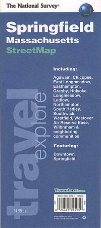 Scale 1:2,640. Size 68" W x 50" H. Laminated.. Printed in color with a markable/washable-laminated surface. Streets indexed on the face of the map. Includes hanging rails mounted top and bottom. Area of coverage: North: to Smith College in Northhampton; South: to MA-CT line; East: to Springfield Reservoir in Ludlow; West: to Westfield State College in Westfield. Insets: Downtown Springfield and Southwick. Details include: all streets, post offices, hospitals, railroads, longitude/latitude, airports, cemeteries, shopping centers, water features, recreational parks, city limits/annexations, government buildings, fire/police stations, educational facilities, golf/country clubs, ZIP codes/boundaries, and points of interest. Railed wall maps can be turned into pull down maps on spring rollers for an additional $40.
 - $12.95
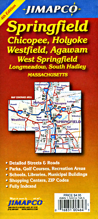
Item Code : JIMP21155
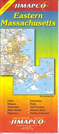
 Size 26"x38". Jimapco edition. Regional map of eastern Massachusetts with an inset of the Greater Boston area. Includes townships, major roads, highways, Interstate roads, parks, golf courses, historic sites and points of interest.
 - $10.95
Item Code : AMER10199
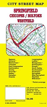
 Scale 1:31,000. Size 27"x40". American Map Company edition.
 - $14.95
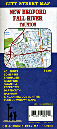
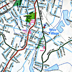
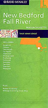
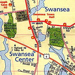
Item Code : GMJO10201
 Scale 1:39,000. Size 27"x39". G.M. Johnson edition.
 - $10.95
Item Code : UNIV10202
 Scale 1:29,000. Size 27"x40". Universal Map edition.
|
Massachusetts Road Maps |
