
|
Maryland Road Maps |
Maryland
- $10.95
Item Code : MEAS10071
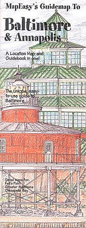
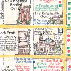 Size 18"x27". Map Easy edition. Perfect for the intrepid or armchair traveller, this charming map combines the best of a guidebook and a location map, all in one. The map is color coded to include information about the city's hotels, restaurants, shops, and sites. Printed on tear-proof, water-resistant, lightweight, paper-like plastic, that is incredibly durable. Also includes sketches of the landscape and interesting details about the area. You'll love this map!
 - $10.95
Item Code : UNIV10078
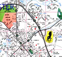
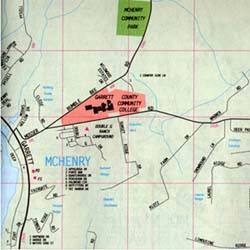
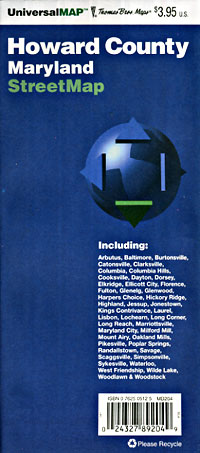
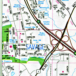
 Scale 1:33,000. Size 27"x39". Universal Map edition.
 - $12.95
Item Code : ADCM10079
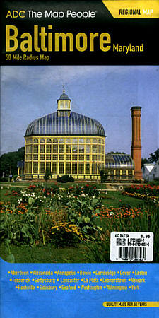
 Scale 1:200,000. Size 37"x44". ADC Maps edition.
 - $12.95
Item Code : AMER22838
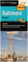 American Maps edition. This map of Baltimore, MD is durably laminated and contains extensive coverage. Laminated maps are easy to fold, write on, and wipe off. Coverage includes: a Baltimore area map, Baltimore Downtown, Colleges and Universities, Parks and Rec Areas, Places of Interest, and ZIP Codes.
 - $10.95
Item Code : GPAC22833
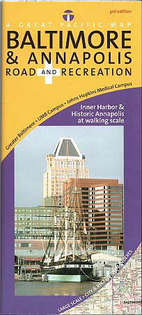 Great Pacific Recreation Maps edition.
 - $259.00 Shipped rolled in a tube + $18.80 p&h
Item Code : RAND10075
 Scale 1:95,000. Size 46"x60". Rand McNally edition. Laminated. Professional Grade.
 - $249.95 + $24.80 p&h (add $40 for spring rollers)
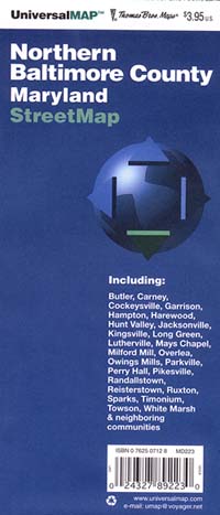
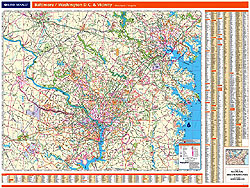
Item Code : UNIV10076
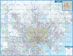
 Scale 1:4,950. Size 56" W x 54" H. Laminated. Printed in color with a markable and washable laminated surface. Cities are indexed on the face of the map. Details include major streets and all highways, ZIP codes and boundaries, latitude and longitude lines, county lines and names, parks, golf courses, amusement centers and stadiums, water features, government buildings and federal penitentiaries, military institutions and airports, hospitals and cemeteries, and mileage circles. Coverage includes Hanover PA to the north; extends south to Alexandria, VA and St. Michaels, MD; includes Chestertown, MD and Havre De Grace, MD to the east; and extends west to Rockville, MD and Taneytown MD. Railed wall maps can be turned into pull down maps on spring rollers for an additional $40.
 - $229.95 + $24.80 p&h (add $40 for spring rollers)
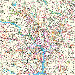
Item Code : UNIV10077
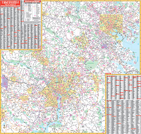 Scale 1:4,950. Size 56" W x 54" H. Laminated. Printed in color with a markable/washable-laminated surface. Streets are indexed on the face of the map. Provided with hanging rails mounted top and bottom. Area of coverage: North: to Lock Raven Reservoir, Kingsville, Pot Spring, and Louisville; South: Lower Marlboro, Mattawoman, Strawberry Hills, Dale City; East: Chesapeake Bay, Martin State Airport, Upper Falls; West: Mt. Airy, Dulles International Airport, Manassas. Features indices of major streets, cities, towns, and points of interest. Details interstate/state/federal highways, county roads, shopping centers, military installations, airports, water features, parks and national forests, hospitals, recreation areas, colleges, and points of interest. Railed wall maps can be turned into pull down maps on spring rollers for an additional $40.
 - $249.95 + $24.80 p&h (add $40 for spring rollers)
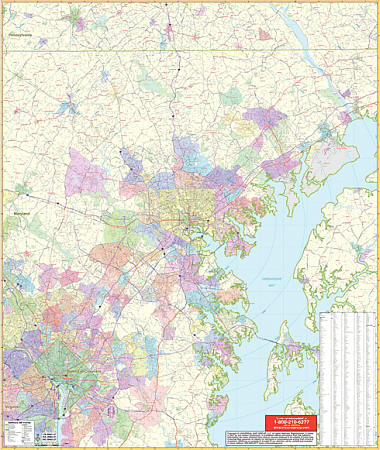
Item Code : KAPA21109
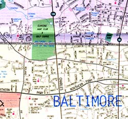
 Kappa Map Group is proud to announce publication of our 2011 Baltimore, MD wall map by ADC/American Map with adjacent areas. Specifications of this high quality map include: • Measures W 74 x H 60 ( 6’2 “ x 5’) • Complete Street detail at a scale of 1” = 2,346 feet • Up-to-date cartography with over 350 new streets and changes • Printed in color with a markable and washable laminated surface • Hanging options of spring roller; or rails, mounted top and bottom • Streets are indexed in a separate book • Note this wall map is compatible with the ADC street guide for Baltimore. The street guide includes maps of the entire Baltimore County, MD. Area of Coverage - All of Baltimore City, with the following boundaries: • North: Includes all of Lock Raven Reservoir Recreation Area & Hunt Valley • South: To the Baltimore-Anne Arundel county lines. • East: Includes the Glenn Martin State Airport, Gunpowder Falls State Park. • West: To the Carroll-Howard county lines. • Inset: Downtown Baltimore Details Included: Airports, All Streets & Highways, Government Buildings, Cemeteries, Shopping Centers, Fire & Police Stations, Hospitals, Water Features, Educational Institutions, Railroads, Recreational Parks, Golf & Country Clubs, Post Offices, ZIP Codes & Boundaries, Block numbers, Points of Interest, City limits & annexations, and Subdivision names. Railed wall maps can be turned into pull down maps on spring rollers for an additional $40.
 - $10.95
Item Code : UNIV10080
 Scale 1:35,000. Size 27"x40". Universal Map edition.
 - $10.95
Item Code : UNIV10083
 Scale 1:31,000. Size 28"x39". Universal Map edition.
 - $10.95
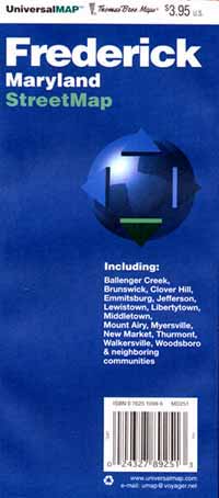
Item Code : UNIV10085
 Scale 1:40,000. Size 28"x40". Universal Map edition.
 - $10.95
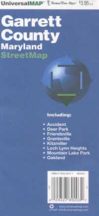
Item Code : ADCM22836
 ADC Maps edition. This full-color street map of Cumberland, Frostburg and Oakland, MD, includes: Carpendale, Loch Lynn Heights, and Mountain Lake Park; and features: Airports, Colleges and Universities, Golf Courses, Hospitals, Parks and Rec Areas, Places of Interest, Schools, and ZIP Codes
 - $10.95
Item Code : UNIV10088

 Scale 1:41,000. Size 27"x40". Universal Map edition.
 - $14.95
Item Code : GMJO10091
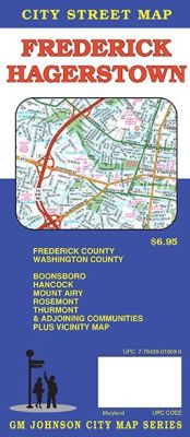
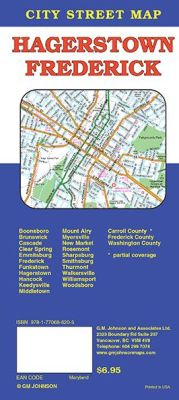 Scale 1:32,000. Size 27"x39". G.M. Johnson edition. This Map Coverage Area are Boonsboro, Emmitsburg, Hancock, Middletown, Mount Airy, Myersville, New Market, Rosemont, Smithsburg, Thurmont, Walkersville, Williamsport, Woodsboro, Maryland, Maryland, Cascade, Clear Spring, Keedysville, Sharpsburg, Frederick County, Washington County.
 - $10.95
Item Code : UNIV10090
 Scale 1:32,000. Size 28"x40". Universal Map edition.
 - $10.95
Item Code : UNIV10093
 Scale 1:36,000. Size 25"x38". Universal Map edition.
 - $10.95
Item Code : UNIV10097
 Scale 1:35,000. Size 28"x40". Universal Map edition.
 - $19.95
Item Code : PHOT10095
Hagerstown and Washington County, Street ATLAS, Maryland, America, Detailed city street map. - $12.95
Item Code : AMER21185
American Map Company edition.
|
Maryland Road Maps |
