
Kentucky Road Maps | Detailed Travel Tourist Driving
|
Kentucky Road Maps |
Kentucky
- $249.95 + $24.80 p&h (add $40 for spring rollers)
Item Code : UNIV9773
 Size 54" W x 70" H. Laminated. Printed in color with a markable/washable--laminated surface. Streets indexed in a separate book. Framing rails are included on top and bottom for easy wall mounting. Railed wall maps can be turned into pull down maps on spring rollers for an additional $40. Area of coverage: All of Cherokee County with the following boundaries: North: Pickens & Cherokee County line; South: Cobb, Fulton, Cherokee County lines; East: Forsyth & Cherokee County lines; West: Bartow & Cherokee County lines. Details include all streets and highways, government buildings, airports, water features, fire/police stations, hospitals, educational facilities, shopping centers, railroads, ZIP codes/boundaries, golf and country clubs, post offices, cemeteries, city limits & annexations, and points of interest.
 - $10.95
Item Code : UNIV9774
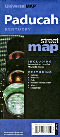
 Scale 1:24,000. Size 24"x36". Universal Map edition.
 - $14.95
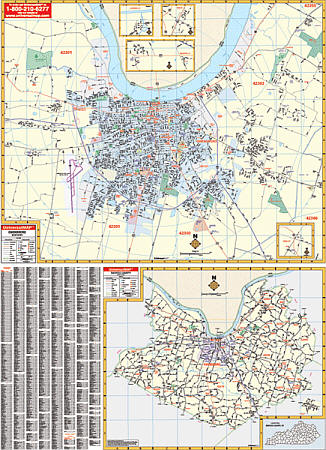
Item Code : GMJO22809
 Scale 1:32,000. Size 27"x39". G.M. Johnson edition. This Map Coverage Area are Murray, Fulton, Mayfield, Benton, South Fulton, Land Between The Lakes.
 - $229.95 + $24.80 p&h (add $40 for spring rollers)
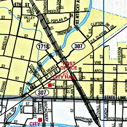
Item Code : UNIV9775
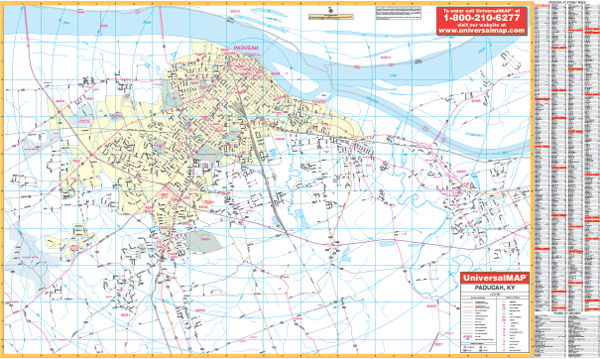 Scale 1:1,243. Size 66" W x 39" H. Laminated. Printed in color, this laminated map is markable and washable. Streets are indexed on the map's face. Framing rails are included on top and bottom for easy wall mounting. Area of coverage: North: to the Ohio River; South: to 2 miles south of Lone Oak; East: to Exit 16 on I-24; West: to 2 miles west of Paducah city limit. The special features and data are as follows: all streets and highways, government buildings, airports, golf courses and country clubs, railroads, ZIP codes/boundaries, shopping centers, water features, recreational parks, cemeteries, educational facilities, hospitals, post offices, city limits and annexations, longitude and latitude lines, mileage circles, fire and police stations, and miscellaneous points of interest. Railed wall maps can be turned into pull down maps on spring rollers for an additional $40.
 - $14.95
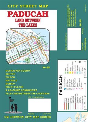
Item Code : GMJO22805
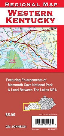 G.M Johnson Maps edition. A detailed road map of western half of Kentucky, covering west of Interstate 65. Coverage includes Mammoth Cave National Park, Land Between the Lakes NRA, etc.
|
Kentucky Road Maps |
My Wish List
Last Added Items
You have no items in your wish list.
