
Bali Road Maps | Detailed Travel Tourist Driving
Bali Maps
Bali is a re-known island in Indonesia. The total area of this beautiful island is nearly 5780 square km. With a population of over 40 lacs, Bali is a home to every religion. The demographic includes people from many religions including Hindus and Buddhist at the top. Being the top most tourist place in South Asia, it becomes mandated to carry a map with you whenever you visit such place else you can be ditched. With a unique map, one can visit easily the national parks to see the diverse Flora and Fauna. Or can travel the ethnicity and Demographics to the famous beaches if in case. The biggest town in Bali is Denpasar with a population of over 8,34,881. The island of Bali is surrounded by the likes of NusaPenida, Nusa Limbogan, and Nusa Cuningan. It is an important part of the Coral triangle as well because of which the marine life is so variedly populated.
The majaphit Hindu King reigned over Bali between 1293-1520 AD and founded abalinese colony in 1343. After his fall Bali becomes an independent state. Due to the invasion of Java and Dutch people Bali does have a diverse demography. Mount Arung is the highest peak in Bali ranges between 2,000 meters- 6000 meters. Due to the Biodiversity, the south Bali has white sand while north and west have Black Sand. Bali’s main source of income is tourism. Gitgit waterfalls, Tirta Empul temple, Pura Taman Ayun and Ulun Danu Temple are the famous places to visit.
Travel within the ancient island with our special map which will help you to locate the location of your choice easily. These new maps are bright in color, user-friendly and accurate to help you in locating the major attraction of Bali island. The major attractions beaches, water bodies, roads and nearby islands are properly navigated on the map. Next time you visit Bali, explore with our unique maps and enjoy the tour.
Bali Indonesia Road Maps for Tourists and TravelersDetailed Road Map of BaliBuy travel maps for Bali tourist attractions, road trips, street guide, driving directions and more |
Bali
- $17.95
Item Code : NELS9251
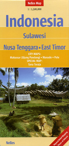
Scale 1:1,500,000. Nelles Verlag edition - $12.95
Item Code : PERI9252
Periplus edition - $16.95
Item Code : PERI9253
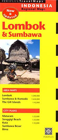
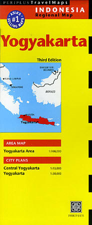
 Scale 1:200,000. Size 20"x30". Periplus edition. Includes an inset city street plan of Sumbawa.
 - $17.95
Item Code : NELS9254
Scale 1:180,000. Nelles Verlag edition - $12.95
Item Code : PERI9257
Periplus Maps edition - $17.95
Item Code : NELS9255
 Scale 1:1,500,000. Size 20"x35". Nelles Verlag edition.
 - $17.95
Item Code : NELS9259
 Scale 1:1,500,000. Size 20"x31". Nelles Verlag edition.
 - $12.95
Item Code : PERI9260
 "Various Scales". Size 20"x34". Periplus edition.
 - $12.95
Item Code : PERI9261
 "Various Scales". Size 20"x37". Periplus edition. Includes inset maps at large scales.
 - $17.95
Item Code : NELS9262
 Scale 1:1,500,000. Size 20"x31". Nelles Verlag edition.
 - $17.95
Item Code : ITMB9264
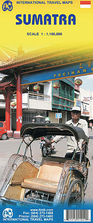
Scale 1:1,100,000. Size 27"x39". International Travel Maps edition.
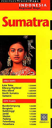
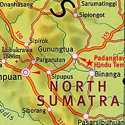
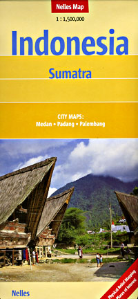
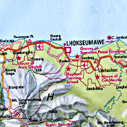
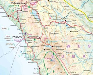
This double-sided map has taken longer than expected to come into print, but we think that the wait is worthwhile. Sumatra is the large island west of Java, and extends our detailed mapping of Indonesia by providing a vibrant map of a beautiful but earthquake-prone part of the Indonesian archipelago.
Due to its shape and setting, the map also includes Singapore and the southern portion of the Malay peninsula. The two main access points to Sumatra are by ferry from Singapore via Batum Island, and from Java, or by air. This map also extends our islands of the world series, which includes Borneo, Bali/Lombok, Java, and New Guinea. Touristically, Sumatra is not well-known, so is ideal for experienced travelers to explore.
The island offers several hot springs, royal palaces, colonial towns, and national parks. The map also includes generous inset maps of Medan, Padang, and Palembang.
- $19.95
Item Code : REIS9258
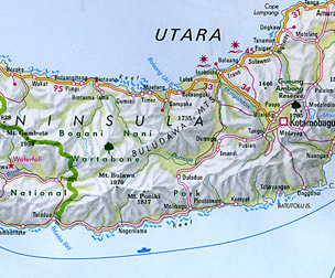
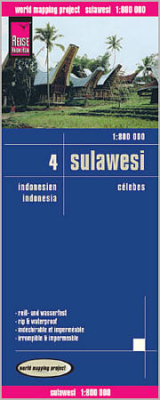 Scale 1:1,800,000. Reis Know How edition. Very detailed Sulawesi road map. English and multi-lingual legends. Printed on tear-resistant, waterproof, paper-like plastic. It can bend and fold without cracking and is writable as normal paper, non-toxic and recyclable. Perfect for tourist adventures and independent travel and for driving tours. Includes topographic contour lines and hypsometric color tints which show height levels, along with elevation numbers. Shows all major and secondary roads and tertiary roads, with distances between points in kilometers. Fully indexed. Beautiful cartography.
 - $19.95
Item Code : REIS9263
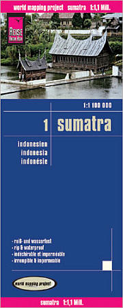 Scale 1:1,100,000. Size 27"x39". Reis Know How edition. Very detailed Sumatra road map. English and multi-lingual legends. Printed on tear-resistant, waterproof, paper-like plastic. It can bend and fold without cracking and is writable as normal paper, non-toxic and recyclable. Perfect for tourist adventures and independent travel and for driving tours. Includes topographic contour lines and hypsometric color tints which show height levels, along with elevation numbers. Shows all major and secondary roads and tertiary roads, with distances between points in kilometers. Fully indexed. Beautiful cartography.
 - $12.95
Item Code : PERI9265
 Scale 1:100,000. Size 20"x30". Periplus edition.
| Postage and handling is $4.40 for the first map and $1.80 for each additional map. ~ ~ ~ ~ ~ ~ Foreign delivery is $15.80 for the first map and $7.60 for each additional map. ~ ~ ~ ~ ~ ~ Canada delivery is $15.80 for the first map and $7.60 for each additional map. |
Bali Maps
Bali is a re-known island in Indonesia. The total area of this beautiful island is nearly 5780 square km. With a population of over 40 lacs, Bali is a home to every religion. The demographic includes people from many religions including Hindus and Buddhist at the top. Being the top most tourist place in South Asia, it becomes mandated to carry a map with you whenever you visit such place else you can be ditched. With a unique map, one can visit easily the national parks to see the diverse Flora and Fauna. Or can travel the ethnicity and Demographics to the famous beaches if in case. The biggest town in Bali is Denpasar with a population of over 8,34,881. The island of Bali is surrounded by the likes of NusaPenida, Nusa Limbogan, and Nusa Cuningan. It is an important part of the Coral triangle as well because of which the marine life is so variedly populated.
The majaphit Hindu King reigned over Bali between 1293-1520 AD and founded abalinese colony in 1343. After his fall Bali becomes an independent state. Due to the invasion of Java and Dutch people Bali does have a diverse demography. Mount Arung is the highest peak in Bali ranges between 2,000 meters- 6000 meters. Due to the Biodiversity, the south Bali has white sand while north and west have Black Sand. Bali’s main source of income is tourism. Gitgit waterfalls, Tirta Empul temple, Pura Taman Ayun and Ulun Danu Temple are the famous places to visit.
Travel within the ancient island with our special map which will help you to locate the location of your choice easily. These new maps are bright in color, user-friendly and accurate to help you in locating the major attraction of Bali island. The major attractions beaches, water bodies, roads and nearby islands are properly navigated on the map. Next time you visit Bali, explore with our unique maps and enjoy the tour.
Bali Indonesia Road Maps for Tourists and TravelersDetailed Road Map of BaliBuy travel maps for Bali tourist attractions, road trips, street guide, driving directions and more |
