
|
Illinois Road Maps |
Illinois
- $10.95
Item Code : UNIV8976
 Scale 1:34,000. Size 28"x40". Universal Map edition.
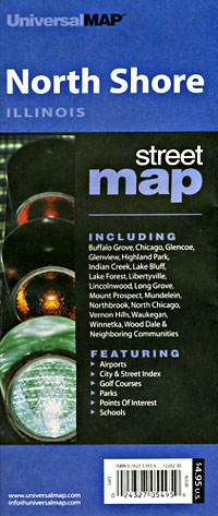
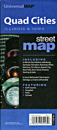
 - $14.95
Item Code : GMJO22756
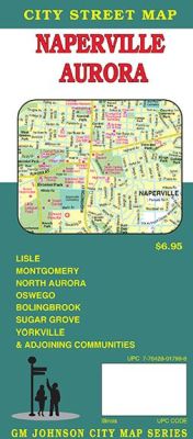
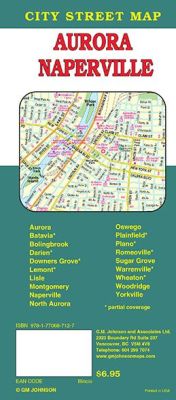 Scale 1:28,000. Size 27"x39". G.M. Johnson edition. This Map Coverage Area are Oswego, Sugar Grove, Woodridge, Yorkville, Lisle, Montgomery, Naperville, North Aurora, Aurora, Bolingbrook, Batavia, Darien, Downers Grove, Lemont, Wheaton, Warrenville, Plainfield, Plano, Romeoville, Partial Coverage.
 - $10.95
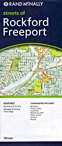
Item Code : RAND8977
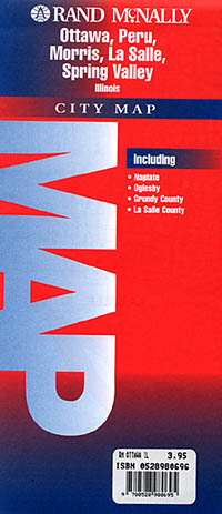
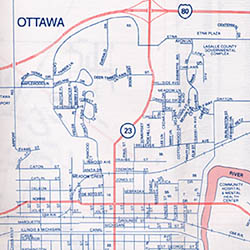 Various scales. Size 19"x25". Rand McNally edition. Detailed city street map.
 - $10.95
Item Code : UNIV8978
 Size 23"x35". Universal Map edition.
 - $10.95
Item Code : UNIV8982
 "Various scales". Size 19"x25". Universal Map edition.
 - $249.95 + $24.80 p&h (add $40 for spring rollers)
Item Code : UNIV8980
 Scale 1:190,000. Size 54" W x 64" H. Laminated. Printed in color with a markable and washable laminated surface. Cities are indexed on the face of the map. Provides hanging rails mounted on the top and bottom. Includes the counties of DeWitt, Fiatt, Livingston, Logan, Macon, Marshall, McLean, Menard, Peoria, Sangamon, Tazewell, and Woodruff. Boundaries are as follows: North: all of Marshall and Livingston Counties; South: all of Sangamon and Macon Counties; East: all of Champaign in Champaign County; West: all of Peoria, Sangamon, and Menard Counties. Details include all major streets and highways, county lines and names, mileage circles, zip codes and boundaries, airports and parks, water features, and longitude/latitude lines. Railed wall maps can be turned into pull down maps on spring rollers for an additional $40.
 - $249.95 + $24.80 p&h (add $40 for spring rollers)
Item Code : UNIV8981
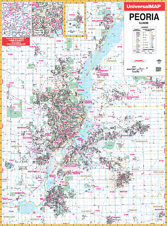 Scale 1:2,640. Size 46" W x 64" H. Laminated. The Peoria, Illinois Wall Map by Universal Map has added new streets and changes. The area of coverage ranges: North: to Chillicothe and Dunlap; South: to Tremont and Mackinaw; East: to Metamora and includes an inset of Eureka; West: to Kickapoo, Lake Lancelot, and Lake Camelot. There is an inset map of Peoria and area. The special features and data are as follows: all streets and highways, government buildings, shopping centers, airports, golf courses and country clubs, mileage circles, longitude and latitude lines, post offices, hospitals, cemeteries, railroads, township-section-and range lines, educational facilities, fire and police stations, ZIP codes and ZIP code boundaries, recreational parks, water features, city limits, annexations, and various points of interest. Railed wall maps can be turned into pull down maps on spring rollers for an additional $40.
 - $10.95
Item Code : UNIV8983
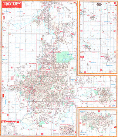
 Scale 1:31,000. Size 28"x40". Universal Map edition.
 - $10.95
Item Code : UNIV8984
 Scale 1:44,000. Size 27"x40". Universal Map edition.
 - $10.95
Item Code : RAND8985
 Scale 1:34,000. Size 25"x38". Rand McNally edition.
 - $10.95
Item Code : UNIV8987
 Scale 1:35,000. Size 28"x40". Universal Map edition.
 - $10.95
Item Code : RAND8988
 Scale 1:36,000. Size 28"x40". Rand McNally edition. Detailed city street map.
 - $249.95 + $24.80 p&h (add $40 for spring rollers)
Item Code : UNIV8971
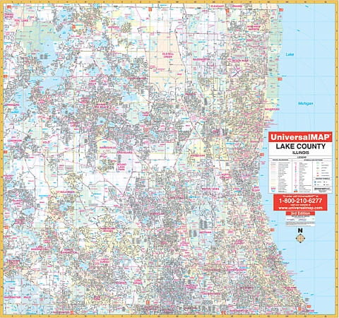 Scale 1:2,640. Size 54" W x 64" H. Laminated. Provides up-to-date cartography with new streets and changes. Printed in color with a markable/washable-laminated surface. Streets indexed in a separate book. Includes hanging rails mounted top and bottom. The area of coverage ranges: North: to the Wisconsin State line; South: to the Cook County line; East: to Lake Michigan; West: to the McHenry County line. Insets: Eastern Lake County from Mt. Plymouth to county line; Northern Lake County from Altoona to Lake George. Details: airports, all street & highways, government buildings, cemeteries, shopping centers, fire & police stations, hospitals, water features, educational institutions, railroads, recreational parks, golf & county clubs, post offices, mileage circles, zip codes & boundaries, longitude & latitude, city limits & annexations, sectional township range lines, block numbers and MLS grids. Railed wall maps can be turned into pull down maps as a $40 option.
 - $249.95 + $24.80 p&h (add $40 for spring rollers)
Item Code : UNIV8975
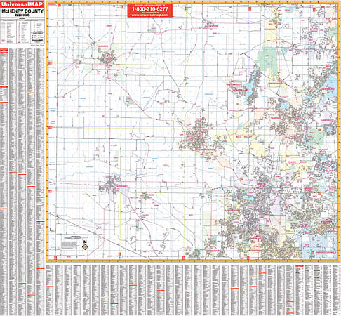 Size 56" W x 54" H. Laminated. Provides complete street detail, up-to-date cartography with new streets and changes, is printed in color, laminated, and indexed for streets on the face of the map. Coverage ranges: North: to the Illinois/Wisconsin State line; South: to the McHenry/Kane County line; East: to the McHenry/Lake County line; West: to the McHenry/Boone County line. Details airports, cemeteries, hospitals, railroads, post offices, mileage circles, all streets/highways, shopping centers, water features, recreational parks, municipal township names, longitude/latitude lines, government buildings, fire/police stations, educational facilities, golf courses/country clubs, ZIP codes/boundaries, and section/township/range lines. Also includes framing rails on top and bottom for easy wall mounting. Railed wall maps can be turned into pull down maps on spring rollers for an additional $40.
 - $249.95 + $24.80 p&h (add $40 for spring rollers)
Item Code : UNIV8986
 Size 54" W x 64" H. Laminated. Universal Map Wall Maps provide up-to-date cartography showing new streets and changes. Plotted in complete street detail. Printed in color with a markable/washable-laminated surface. Provides street indexing on the face of the map or in a separate book. Framing rails are included on top and bottom for easy wall mounting. Railed wall maps can be turned into pull down maps on spring rollers for an additional $40.
 - $249.95 + $24.80 p&h (add $40 for spring rollers)
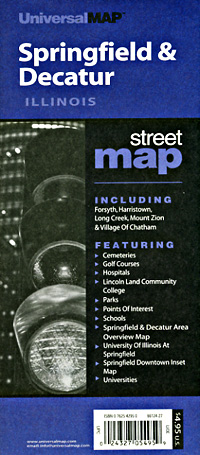
Item Code : UNIV8989
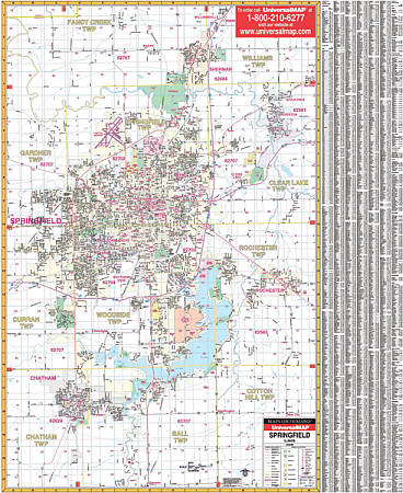 Scale 1:2,100. Size 54" W x 64" H. Laminated. Provides up-to-date cartography with new streets and changes. Streets are indexed on the face of the map. Boundaries range north to Williamsville; south to includes Chatham and Glenarm at Old route 66; east to include Rochester and Riverton; and west to include Old Covered Bridge in Gardner Township and Lincoln Trail. Details all streets/highways, government buildings, ZIP codes/boundaries, airports, golf courses/country clubs, water features, post offices, shopping centers, cemeteries, city limits/annexations, educational facilities, hospitals, recreational parks, railroads, range/township/section lines, mileage circles, and other points of interest. Lithographed in 8 colors, laminated, printed on #80 stock material, and indexed on the face of the map. Framing rails are included on top and bottom for easy wall mounting. Railed wall maps can be turned into pull down maps on spring rollers for an additional $40.
 - $14.95
Item Code : GMJO21173
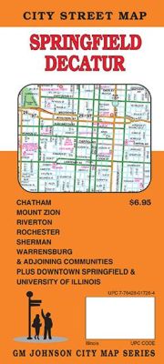
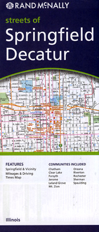
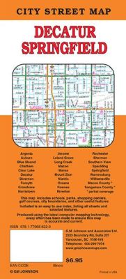 Scale 1:23,000. Size 27"x39". G.M. Johnson edition. This Map Coverage Area are Chatham, Clear Lake, Decatur, Forsyth, Grandview, Harristown, Jerome, Leland Grove, Long Creek, Macon, Mount Zion, Oreana, Riverton, Rochester, Sherman, Southern View, Spaulding, Springfield, Warrensburg, Williamsville, Macon County, Sangamon County, Partial Coverage.
 - $14.95
Item Code : GMJO22745
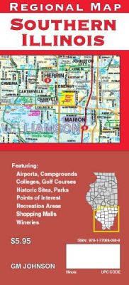
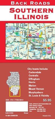 Scale 1:254,000. Size 27"x39". G.M. Johnson edition. This Map Coverage Area are golf courses, campgrounds, airports, colleges and universities, historic sites, parks, recreation areas, points of interest, and much more. It also covers the southern quarter of Illinois, including Carbondale, Centralia, Effingham, Herrin, Marion, Mount Vernon, Murphysboro, St. Louis etc..
 - $11.95
Item Code : AMER22768
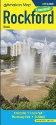 American Maps edition. This all-in-one, laminated City Slicker Map of Rockford, Illinois includes Cherry Valley, Loves Park, Machesney Park and Rockford. This easy-to-read, four-color map also includes a convenient index that makes navigation quick and simple.
 -
|
Illinois Road Maps |
