
|
Illinois Road Maps |
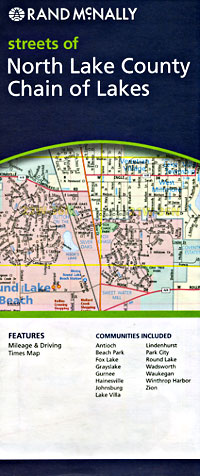
Illinois
- $10.95
Item Code : RAND8948
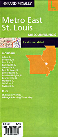
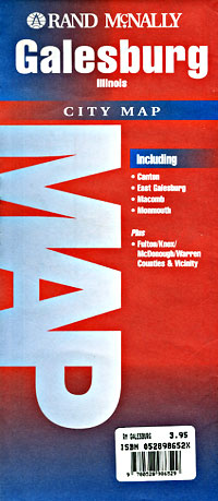
 Scale 1:34,000. Size 28"x40". Rand McNally edition.
 - $10.95
Item Code : AMER8949
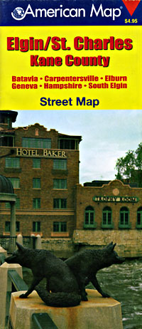
 Scale 1:35,000. Size 27"x40". American Map Company edition.
 - $10.95
Item Code : UNIV8951
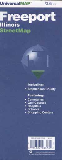
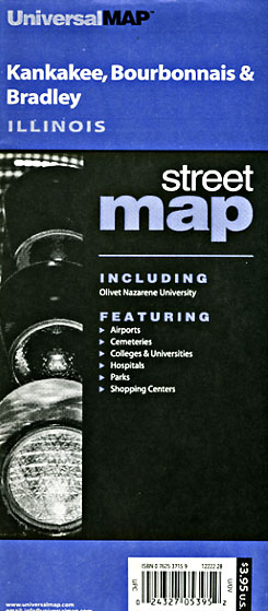
 Scale 1:17,000. Size 23"x29". Universal Map edition.
 -
- $10.95
Item Code : UNIV8952
 Scale 1:25,000. Size 18"x23". Universal Map edition.
 - $10.95
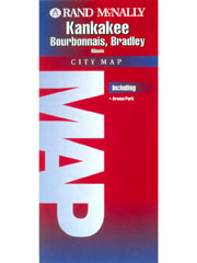
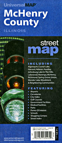
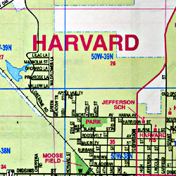
Item Code : RAND8953
 Scale 1:36,000. Size 18"x23". Rand McNally edition.
 - $14.95
Item Code : GMJO22752
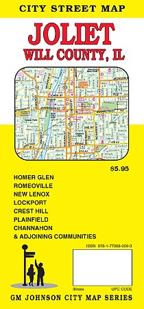
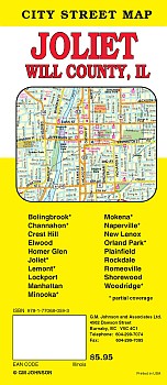 Scale 1:28,000. Size 27"x39". G.M. Johnson edition. This Map Coverage Area are Bolingbrook, Channahon, Crest Hill, Elwood, Homer Glen, Lockport, Manhattan, Minooka*, New Lenox, Orland Park, Plainfield, Rockdale, Romeoville, Shorewood, Woodridge, Joliet, Lemont, Mokena, Naperville, Partial Coverage.
 - $10.95
Item Code : UNIV8954
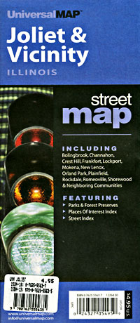
 Scale 1:31,000. Size 28"x40". Universal Map edition.
 - $10.95
Item Code : UNIV8957
 Scale 1:32,000. Size 28"x40". Universal Map edition.
 - $10.95
Item Code : UNIV8959
 Size 23"x35". Universal Map edition.
 - $10.95
Item Code : RAND8960
 Scale 1:20,000. Size 18"x27". Rand McNally edition.
 - $249.95 + $24.80 p&h (add $40 for spring rollers)
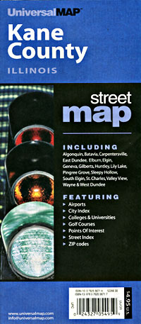
Item Code : UNIV8958
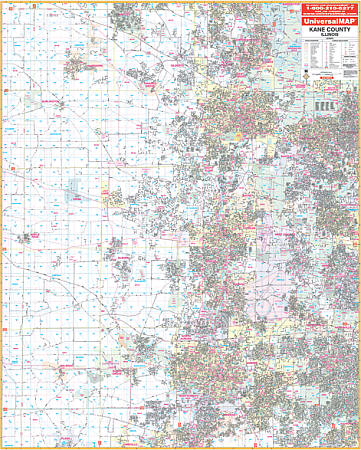
 Scale 1:2,600. Size 54" W x 68" H. Laminated. The Kane County, Illinois Wall Map by Universal Map. Up to date cartography with many new streets and changes. Printed in color with a markable/washable--laminated surface. Street index provided in a separate book. Framing rails are included on top and bottom for easy wall mounting. Railed wall maps can be turned into pull down maps on spring rollers for an additional $40. Area of coverage: All of Kane County with the following boundaries: North: McHenry & Kane Counties; South: Kendal & Kane Counties; East: Dupage, Cook, & Kane Counties; West: Dekalb & Kane Counties. Details include all streets and highways, government buildings, airports, water features, fire/police stations, hospitals, shopping centers, educational facilities, railroads, recreational parks, golf/country clubs, post offices, city limits/annexations, cemeteries, longitude & latitude, ZIP codes/boundaries, section/township/range lines, and points of interest.
 - $229.95 + $24.80 p&h (add $40 for spring rollers)
Item Code : UNIV8962
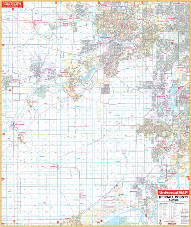 Scale 1:2,640. Size 54" W x 64" H. Laminated. The Kendall County, Illinois Wall Map by Universal Map. Printed in color with a markable/washable--laminated surface. Street index provided in a separate book. Framing rails are included on top and bottom for easy wall mounting. Railed wall maps can be turned into pull down maps on spring rollers for an additional $40. Area of coverage: All of Kendall County with the following boundaries: North: To North Aurora, Warrenville, and Sugar Grove; South: To Morris & the Kankakee River; East: To Bolingbrook, Romeoville, and Joliet; West: To Sandwich, Newark, and Millington. Details include all streets and highways,airports, government buildings, airports, water features, fire/police stations, hospitals, shopping centers, educational facilities, railroads, recreational parks, golf/country clubs, post offices, Section /Township/range lines, mileage circles, city limits/annexations, cemeteries, longitude & latitude, ZIP codes/boundaries, and points of interest.
 - $10.95
Item Code : AMER8963
 Scale 1:100,000. Size 18"x25". American Map Company edition.
 - $10.95
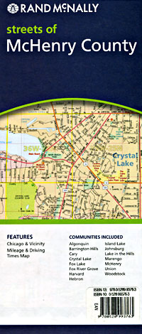
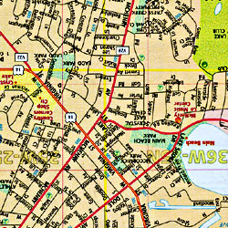
Item Code : RAND8965
 Scale 1:30,000. Size 28"x40". Rand McNally edition.
 - $10.95
Item Code : RAND8968

 Scale 1:30,000. Size 28"x39". Rand McNally edition. Detailed city street map.
 - $14.95
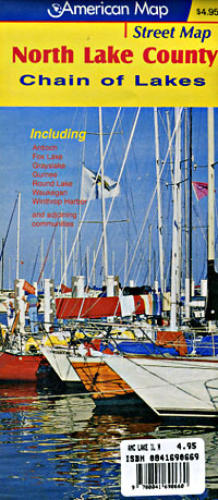
Item Code : GMJO22753
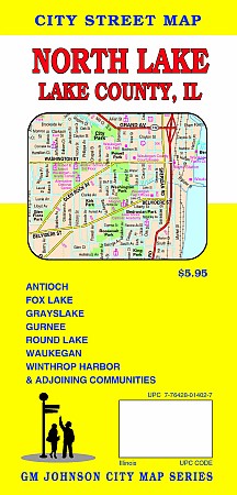
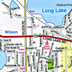
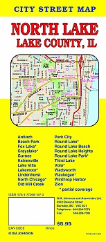 Scale 1:28,000. Size 27"x39". G.M. Johnson edition. This Map Coverage Area are Antioch, Beach Park, Gurnee, Hainesville, Lake Villa, Lindenhurst, Old Mill Creek, Park City, Round Lake Beach, Round Lake Heights, Third Lake, Wadsworth, Winthrop Harbor, Zion, Fox Lake, Lakemoor, Volo, Grayslake, Round Lake, Round Lake Park, North Chicago, Waukegan, Partial Coverage.
 - $14.95
Item Code : GMJO22754
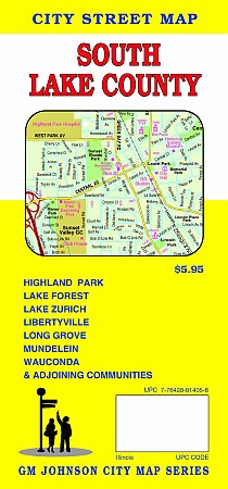
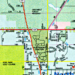
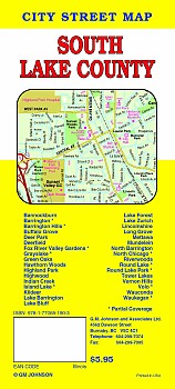 Scale 1:28,000. Size 27"x39". G.M. Johnson edition. This Map Coverage Area are Bannockburn, Barrington, Barrington Hills, Buffalo Grove, Deer Park, Deerfield, Fox River Valley Gardens, Grayslake, Green Oaks, Hawthorn Woods, Highland Park, Highwood, Indian Creek, Island Lake, Kildeer, Lake Barrington, Lake Bluff, Lake Forest, Lake Zurich, Lincolnshire, Long Grove, Mettawa, Mundelein, North Barrington, North Chicago, Riverwoods, Round Lake, Round Lake Park, Tower Lakes, Vernon Hills, Volo, Wauconda, Waukegan, Partial Coverage.
 - $10.95
Item Code : UNIV8973
 Scale 1:40,000. Size 28"x40". Universal Map edition.
 - $10.95
Item Code : RAND8974
 Scale 1:34,000. Size 28"x39". Rand McNally edition.
|
Illinois Road Maps |
