|
Greece City Street Maps |
Greece City Maps
- $17.95
Item Code : BORC8656
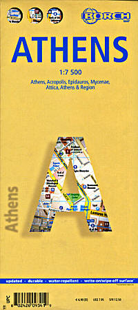
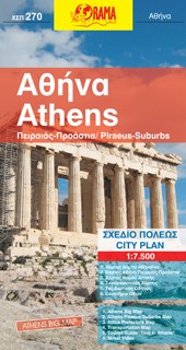
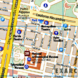 Scale 1:7,500. Size 19?"x26". Borch edition. Indexed. Includes a regional map at 1:100,000 scale and an Attica area road and shaded relief tourist map at 1:750,000 map, on the reverse side; plus a layout plan of the Acropolis area. English and multilingual legend. Laminated, waterproof, easy-fold, flexi-map. Excellent!
 - $12.95
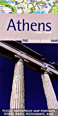
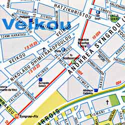
Item Code : ROUG8653
- $17.95
Item Code : ITMB8652
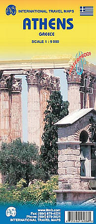
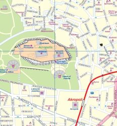
Scale 1:9,000. Size 27"x39". International Travel Maps edition.
The capital of Greece is one of the oldest and most historic cities in the world. ITMB has produced what I would consider to be a very clean and easy to use map of the central area of Athens, showing the main touristic sites, hotels, transit lines, and public buildings.
Major streets are bilingually-named, with smaller streets shown in Greek, as they would be sign-posted that way. This map is printed on durable ITM waterproof paper.
- $11.95
Item Code : INSG8655
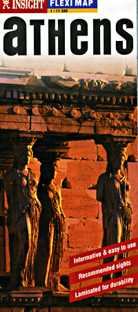
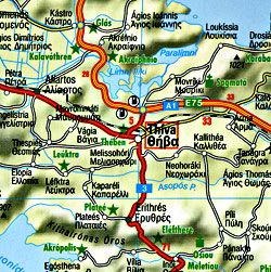 Scale 1:11,500. Size 18"x27". Insight Guide Maps edition. Athens Insight FlexiMap features detailed city street and road maps clearly marked with all the sites and services of particular interest to travelers. Text and photographs offer a wealth of valuable tourist information including "10 sights you shouldn't miss", plus information on transportation, visas, currency, important telephone numbers, emergency services, and more. A variety of domestic and international destinations are available.
 - $17.95
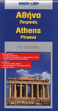
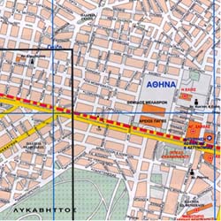
Item Code : ROAD8650
- $17.95
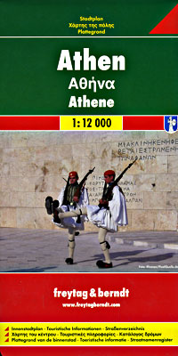
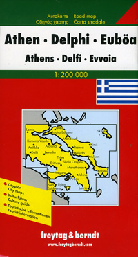
Item Code : FREY8654
- $12.95
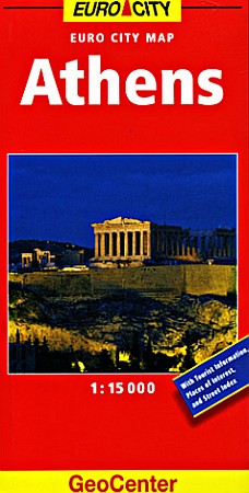
Item Code : GEOC8657
- $12.95
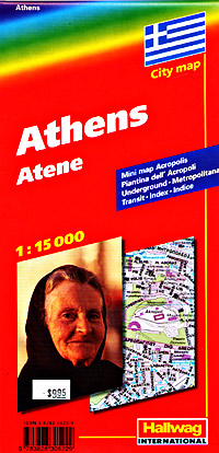
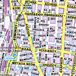
Item Code : HLWG8651
- $10.95
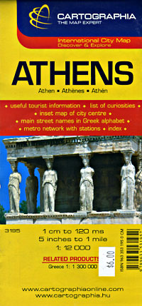
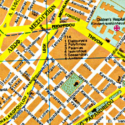
Item Code : CART8658
- $12.95 out of print
Item Code : FALK8659
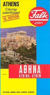 Scale 1:17,500. Falk Verlag edition. Unique patent fold. Wonderful detail. Fully indexed to every city street. Shows all streets and motorways, parks, sports grounds, public buildings, railways, metro underground lines with station markings, bus lines with terminuses, one-way streets, libraries, post offices, churches, theatres, parking areas, museums, hospitals, hotels, open-air baths, and ferry landing areas. Unique, world-famous, patent fold. This is my favorite map of Athens. English and multilingual legends. SAMPLE MAP This wonderful map is now out of print and has been discontinued.
 - $17.95
Item Code : FREY8660
-
-
-
- $17.95
Item Code : FREY21206
 Scale 1:50,000. Freytag-Berndt edition. Detailed road and tourist map of the Greek island of Kefalonia and Ithaka in the Ionean Island chain in western Greece. Map show roads, footpaths, distances in kilometers, ports, ferry routes, natural features, ruins, and places of interest. Placenames on map in both Roman and Greek alphabet. Includes insets of the town Argostoli and a regional locator map, plus a few photos. Legend in Greek, English, German, Italian.
|
Greece City Street Maps |


