
|
France Regional Road Maps |
France Regional Maps
- $17.95
Item Code : FREY7974
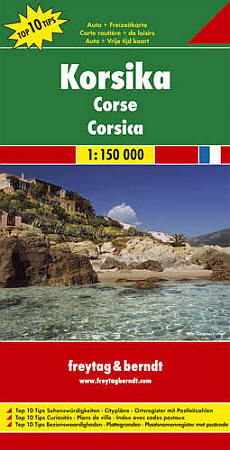
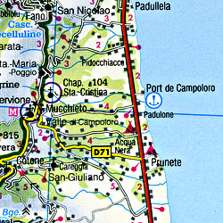 Scale 1:150,000. Size 35"x52". Freytag & Berndt edition.
 - $19.95
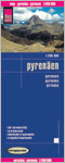
Item Code : REIS7979
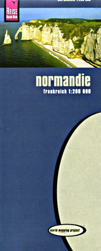
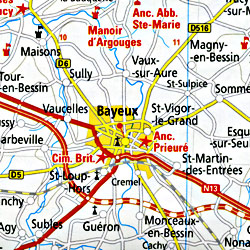 Scale 1:200,000. Size 28"x36". Reis Know How edition.
 - $16.95
Item Code : NATL21079
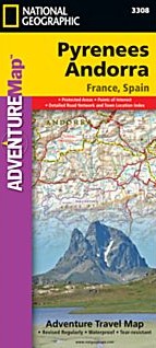
 Scale 1:275,000. Size 26"x38". National Geographic edition. National Geographic's Pyrenees and Andorra Adventure Map is designed to meet the unique needs of adventure travelers—detailed, durable, and accurate. Pyrenees/Andorra includes the locations of thousands of major cities and towns with an index for easily locating them, plus a clearly marked road network complete with distances and designations for expressways, motorways, scenic routes, and more. What sets National Geographic AdventureMaps apart from traditional road maps are the hundreds of points of interest that highlight the diverse and unique destinations within the Pyrenees and Andorra. National parks, World Heritage sites, scenic viewpoints, antiquity sites, museums, places of worship, zoos, castles and more are included, making it invaluable to travelers hoping to experience all the history, art, and culture the region has to offer. Beaches and yachting harbors dot Spain and France’s Mediterranean coastlines while the location of golf courses, camping sites, waterfalls, caves, and ski areas make it easy to enjoy the region’s abundant outdoor activities. Users will find a variety of helpful travel aids on our map as well, including the location of airports, airfields, railroads, lighthouses, and petrol stations. The front side of the Pyrenees/Andorra map shows the country of Andorra and the eastern half of the Pyrenees including the cities of Narbonne, Carcassone, Pamiers, St-Gaudens, St-Girons, Perpignan in France, and Balaguer, Manresa, and Figueres in Spain. The reverse side of the map stretches from the city of Biarritz on the Bay of Biscay eastward to include Pamplona and Huesca, Spain, and Pau, Tarbes, and the famed pilgrimage site of Lourdes, France.
 - $12.95
Item Code : BERN7970
 Scale 1:400,000. Berndtson & Berndtson edition. Laminated easy-fold, flexi-map
 - $19.95
Item Code : REIS7975
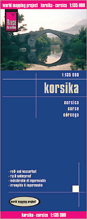 Scale 1:135,000. Reis Know How edition. Very detailed Corsica road map. English and multi-lingual legends. Printed on tear-resistant, waterproof, paper-like plastic. It can bend and fold without cracking and is writable as normal paper, non-toxic and recyclable. Perfect for tourist adventures and independent travel and for driving tours. Includes topographic contour lines and hypsometric color tints which show height levels, along with elevation numbers. Shows all major and secondary roads and tertiary roads, with distances between points in kilometers. Fully indexed. Beautiful cartography.
 - $19.95
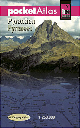
Item Code : REIS7982
 Scale 1:250,000. Reis Know How edition.
 - $25.95 + $7.50 p&h or $16.80 foreign delivery
Item Code : REIS7983
 Scale 1:1,250,000. 160 pages. Reis Know How edition.
 - $17.95
Item Code : MRCO20870
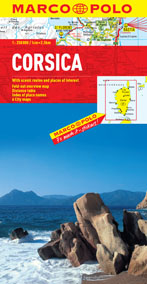 Scale 1:250,000. Marco Polo maps feature completely up-to-date, digitally generated mapping. The high quality cartography with distance indicators and scale converters aid route planning. A fold-out overview map is ideal for route planning and 7 self-adhesive Marco Polo mark-it stickers can be used to pin-point a destination or route for future reference. Scenic routes and places of interest are highlighted - ideal for touring holidays. The maps also contain a comprehensive index and inset city maps of Porto-Vecchio, Ajaccio, Bastia, Bonifacio, Calvi and Corte.
 - $17.95
Item Code : MRCO20883
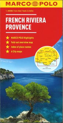 Scale 1:200,000. Marco Polo maps feature completely up-to-date, digitally generated mapping. The high quality cartography with distance indicators and scale converters aid route planning. The extensive coverage enables travellers to cross country boundaries with the same map. 6 city maps: Avignon, Cannes, Marseille, Monaco, Nice and Nimes. A fold-out overview map is ideal for route planning and 7 self-adhesive Marco Polo mark-it stickers can be used to pin-point a destination or route for future reference. Scenic routes and places of interest are highlighted - ideal for touring holidays. Comprehensive index.
 - $17.95
Item Code : MRCO20884
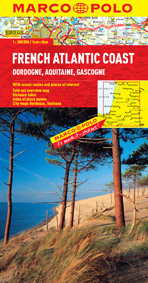 Scale 1:300,000. Coverage includes Dordogne, Aquitaine, Gascogne plus inset city maps of Bordeaux and Toulouse. Marco Polo maps feature completely up-to-date, digitally generated mapping. The high quality cartography with distance indicators and scale converters aid route planning. A fold-out overview map is ideal for route planning and 7 self-adhesive Marco Polo mark-it stickers can be used to pin-point a destination or route for future reference. Scenic routes and places of interest are highlighted - ideal for touring holidays. The maps also contain a comprehensive index and inset street plans of major cities.
 - $17.95
Item Code : MRCO20892
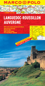 Scale 1:300,000. Marco Polo maps feature completely up-to-date, digitally generated mapping. The high quality cartography with distance indicators and scale converters aid route planning. The extensive coverage of the maps enables travellers to cross country boundaries with the same map. A fold-out overview map is ideal for route planning and 7 self-adhesive Marco Polo mark-it stickers can be used to pin-point a destination or route for future reference. Scenic routes and places of interest are highlighted - ideal for touring holidays. The maps also contain a comprehensive index and inset city maps of Nimes and Toulouse.
 - $16.95
Item Code : NATL20947
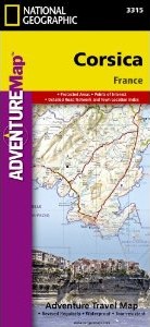 Scale 1:150,000. Size 26"x38". National Geographic edition. National Geographic's Corsica Adventure Map is designed to meet the unique needs of adventure travelers with its durability and accurate information. Each folded map provides global travelers with the perfect combination of detail and perspective, highlighting the area’s terrain and best locations for adventure activities like snorkeling, surfing, fishing, and more. Adventure Maps include hundreds of points of interest that highlight diverse and unique destinations within the country. The map includes the locations of thousands of cities and towns with a user-friendly index, plus a clearly marked road network complete with distances and designations for major highways, main roads, and tracks and trails for those seeking to explore more remote regions. The front side of the Corsica map details the northern region of this island country; bordering Golfe de Sagone and Golfe de Porto to the west, Tyrrhenian Sea to the east, and the Ligurian Sea and Golfe de St.-Florent to the north. The reverse side of the map details the southern region; from its border with the Bouches de Bonifacio to the south, to the Tyrrhenian Sea, Golfe de Santa-Manza and Golfe de Porto-Vecchio to the east, and the Mediterranean Sea, Golfe de Sagone, Golfe de Valinco and Golfe d’ Ajaccio to the west. This island is located west of Italy, southeast of the French mainland and north of the Italian island of Sardinia. Adventure Maps are printed in the United States on a durable synthetic paper, making it waterproof, tear-resistant and tough—capable of withstanding the rigors of international travel. Key Features: Waterproof and tear-resistant Detailed interpretive information and local travel tips Detailed topography complete with activity symbols, ideal for exploring the country City overview maps Hundreds of points of interest, including the location of World Heritage sites, national parks and nature reserves, aboriginal settlements and protected lands, mines, archeological sites, wildlife parks and more Thousands of place names Important travel aids including airports, lighthouses, ferry routes and rail lines Developed in cooperation with local agencies Updated regularly to ensure accuracy
 - $14.95
Item Code : IGNF21559
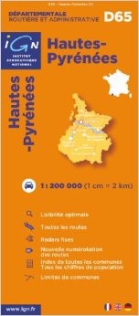 Scale 1:200,000. Explore the département of Hautes-Pyrénées with this I.G.N. road map. The best way to plan your trip, to prepare your itinerary, and to travel independently in this part of French region of Midi-Pyrenees.
 - $14.95
Item Code : IGNF21560
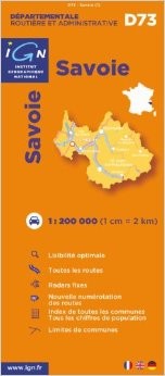 Scale 1:200,000. Explore the département of Savoie with this I.G.N. road map. The best way to plan your trip, to prepare your itinerary, and to travel independently in this part of French region of Rhône-Alpes.
 - $14.95
Item Code : IGNF21561
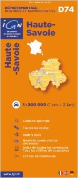 Scale 1:200,000. Explore the département of Haute-Savoie with this I.G.N. road map. The best way to plan your trip, to prepare your itinerary, and to travel independently in this part of French region of Rhône-Alpes.
 - $14.95
Item Code : IGNF21562
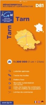 Scale 1:200,000. Explore the département of Tarn with this I.G.N. road map. The best way to plan your trip, to prepare your itinerary, and to travel independently in this part of French region of Midi-Pyrénées.
 -
-
- $14.95
Item Code : KUMR7957
Scale 1:180,000. ** Available ** - $14.95
Item Code : KUMR7958
Scale 1:180,000. ** Available **
| Postage and handling is $3.50 for the first map and $1.50 for each additional map. ~ ~ ~ ~ ~ ~ Foreign delivery is $7.80 for the first map and $5.00 for each additional map. |
| ** Click here! to view our beautiful collection of France Travel VIDEOS ** |
| ** Click here! to view our French Language Courses ** |
|
France Regional Road Maps |
