
|
Eritrea Road Maps |
Eritrea
- $17.95
Item Code : ITMB7043
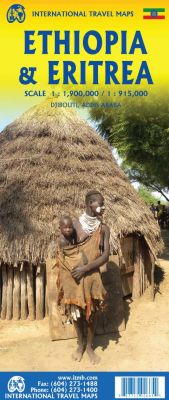
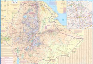
Scale 1:1,900,000/1: 915,000. Size 27"x39". Indexed. International Travel Maps edition. Very detailed.
The highlands of northeastern Africa consists of two inter-locked countries. Ethiopia is a large, land-locked, country with a southern and eastern desert-like region and a central mountainous area. The capital, Addis Ababa, is a modern city in the central highlands, with good road connections with Dire Dawa and Harar in the east (both very interesting cities), and Gondor and Axum in the north. There are road connections to most surrounding countries (south Sudan being the exception), but the region is politically volatile and border closures may exist. The reverse side portrays Eritrea, theoretically a coastal country, but essentially a mountainous country, with Asmara as its capital. The map also includes an excellent inset map of Djibouti, as well as inset maps of Asmara and of Addis Ababa. Each side also includes a listing of top attractions for the benefit of visitors.
|
Eritrea Road Maps |
