
|
Denmark Road Maps |
Denmark
- $19.95
Item Code : REIS6747
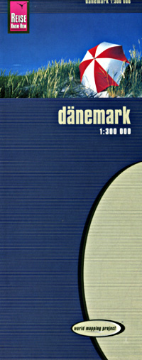
 Scale 1:300,000. Size 27"x39". Reis Know How edition. Very detailed Denmark road map. English and multi-lingual legends. Printed on tear-resistant, waterproof, paper-like plastic. It can bend and fold without cracking and is writable as normal paper, non-toxic and recyclable. Perfect for tourist adventures and independent travel and for driving tours. Includes topographic contour lines and hypsometric color tints which show height levels, along with elevation numbers. Shows all major and secondary roads and tertiary roads, with distances between points in kilometers. Fully indexed. Beautiful cartography.
 - $17.95
Item Code : ITMB6748
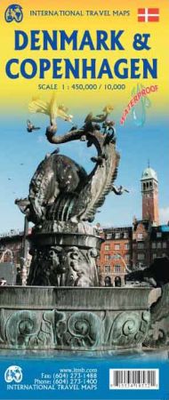
Scale 1:450,000 / 1:10,000. Size 27"x39". International Travel Maps edition. Indexed.
Denmark is one of my favorite countries, but although we’ve visited it several times, we are always discovering interesting corners to explore. It’s that kind of country. This map consists of a brand new country map in the ITMB style, using our own artwork, and an updated version of Copenhagen filling the reverse side.
The city side covers most of the urban area, Copenhagen not being a huge metropolis to begin with, with good coverage for hotels, restaurants, even bus stops, pedestrian shopping streets in the city centre, important buildings and museums, parks, rail stations and lines, and touristic attractions.
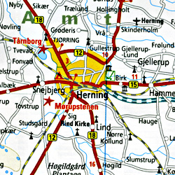
The country side is new digital artwork covering the entire country, showing motorways main and secondary roads, as many town names as we could find, touristic attractions, parks, camping areas, and anything else that we felt a visitor might want to see on a travel map. Denmark is relatively flat, so is a great place for long-distance cycling.
The country has the well-known Helsingor Castle, Roskilde Cathedral, the aldstadt of Odense, the crane nests of Ribe, and much more to entice. This map also brings our European series one step closer to comprehensive completion.
- $17.95
Item Code : KUMR6743
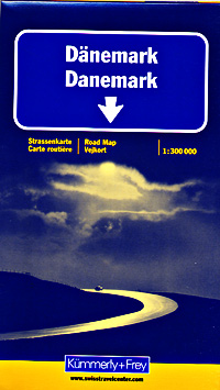
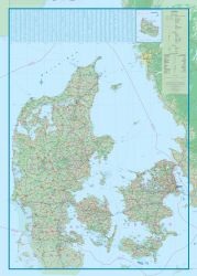
 Scale 1:300,000. Size 36"x40". Kummerly + Frey edition. Indexed. Another great map! Similar to the GeoCenter map shown above. English and multilingual legends.
 - $17.95
Item Code : FREY6745
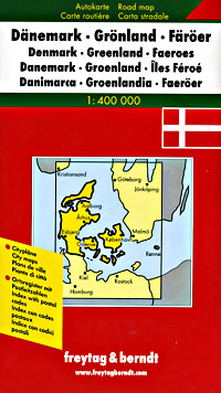
 Indexed. Scale 1:400,000. Size 39"x49". Also includes a map of Greenland. Freytag & Berndt edition.
 - $14.95
Item Code : HLWG6746
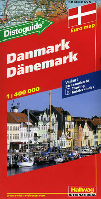
 Scale 1:400,000. Size 39"x50". Indexed. Hallwag edition. English and multilingual legends. Includes the very convenient "Distoguide".
 - $17.95
Item Code : MRCO20877
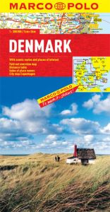 Scale 1:300,000. Marco Polo maps feature completely up-to-date, digitally generated mapping. The high quality cartography with distance indicators and scale converters aid route planning. The extensive coverage enables travellers to cross country boundaries with the same map. Contains a comprehensive index and a city map of Copenhagen. A fold-out overview map is ideal for route planning and 7 self-adhesive Marco Polo mark-it stickers can be used to pin-point a destination or route for future reference. Scenic routes and places of interest are highlighted - ideal for touring holidays.
 - $26.95
Item Code : MRCO20461
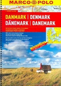 Scale 1:200,000. Size 8½"x12". Marco Polo edition.
 - $17.95
Item Code : MICH6752
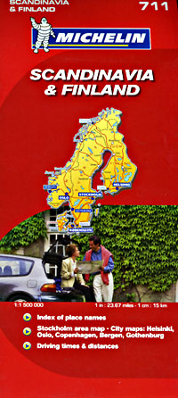
 Includes Norway, Sweden, Denmark, and Finland. Scale 1:1,500,000. Size 40" across x 61" high. Michelin edition. This entire map is printed on one side. Would also make a great wall map!
 - $48.95 + $8.50 p & h or $36.50 foreign delivery
Item Code : FREY6754
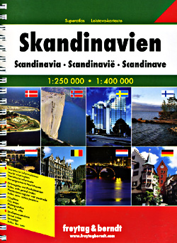
 Scale 1:250,000 and 1:400,000. Size 8?"x12". Indexed. Freytag-Berndt edition. 464 pages (this is a big atlas). Spiral bound. Very detailed. English and multilingual legends.
|
Denmark Road Maps |
