
|
Congo Democratic Republic Road Maps |
Congo Democratic Republic
- $17.95
Item Code : ITMB5989
Scale 1:1,200,000. Size 27"x39". International Travel Maps edition.
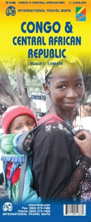
This is a really exciting map, in that an area as large as Europe has been added to ITMB’s Africa series. We have been working on this artwork for over three years. It covers all of the Democratic Republic of Congo and the Central African Republic to the north.
This is in reality a map of the vast rain forest known as the Congo River Basin, and matches our equally complicated map of the Amazon River Basin and the Mekong, Mississippi/Missouri, Nile, and Mackenzie maps that we have published previously.
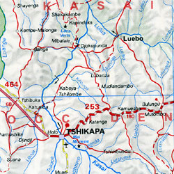
A word of warning: the road network in the Congo is primitive – that means largely non-existent or in such poor condition as to wreck army trucks. We show the roads, and tried to classify them by quality, but this is a work in progress’ and I hope that this map will create sufficient feedback to improve this aspect of the map. For this edition, we have laid the ground work for developing more detailed sectional maps as the need arises.
- $19.95
Item Code : REIS6470
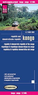
 Scale 1:2,000,000. Size 27?"x39". Reis Know How edition. This is our largest-scale map of the Congo Democratic Republic. Very detailed Congo road map. English and multi-lingual legends. Printed on tear-resistant, waterproof, paper-like plastic. It can bend and fold without cracking and is writable as normal paper, non-toxic and recyclable. Perfect for tourist adventures and independent travel and for driving tours. Includes topographic contour lines and hypsometric color tints which show height levels, along with elevation numbers. Shows all major and secondary roads and tertiary roads, with distances between points in kilometers. Fully indexed. Beautiful cartography.
 - $39.95
Item Code : IGNB6473
Scale 1:2,000,000. Belgium Institute Geographique National edition. Printed on both sides. French text. Excellent! - $14.95
Item Code : CART6471
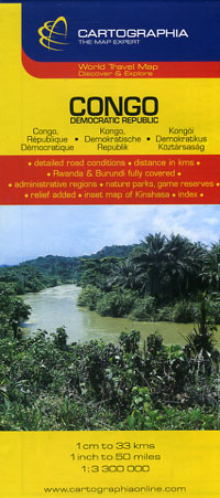
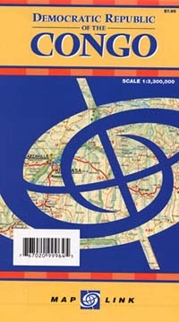
 Scale 1:3,300,000. Size 26"x29". Cartographia edition. English and multilingual legends.
 - $12.95
Item Code : LINK6472
 Scale 1:3,300,000. Size 27"x30". Map Link edition. English text and legends.
|
Congo Democratic Republic Road Maps |
