
|
Cape Verde Islands Road Maps |
Cape Verde Islands
- $17.95
Item Code : FREY6162
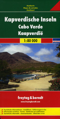
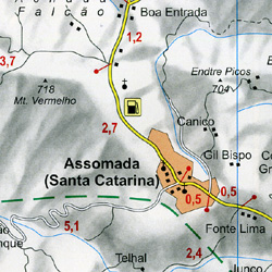 Scale 1:80,000. Size 34"x49". Freytag & Berndt edition.
 - $19.95
Item Code : REIS6161
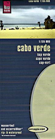
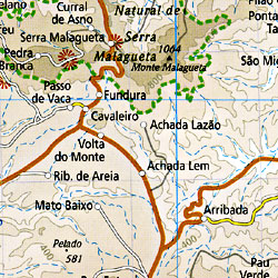 Scale 1:135,000. Size 28"x39". Reis Know How edition. Very detailed Cape Verde Islands road map. English and multi-lingual legends. Printed on tear-resistant, waterproof, paper-like plastic. It can bend and fold without cracking and is writable as normal paper, non-toxic and recyclable. Perfect for tourist adventures and independent travel and for driving tours. Includes topographic contour lines and hypsometric color tints which show height levels, along with elevation numbers. Shows all major and secondary roads and tertiary roads, with distances between points in kilometers. Fully indexed. Beautiful cartography.
 - $17.95
Item Code : ITMB6160
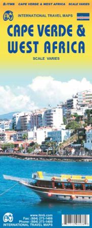
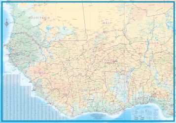
Scale: Varies. Size 27"x39". International Travel Maps edition. 2nd Edition.
Capo Verde, as it is formally known as a country, consists of nine major islands and dozens of small islets off the coast of West Africa, in the area known as the Cape Verde Archipelago. The country, a former Portuguese colonial entity, has been independent for forty years. Due to its location, it has become a significant supply station for ships and for aircraft flying the London-Cape Town route (although less so as newer planes can fly non-stop).
Tourism is a growing part of the economy, helped by having a wealth of pristine beaches. Santiago is the Largest island, and Praia the capital (inset map included). This version benefits by having a detailed map of West Africa on the reverse side. As most communications with Cape Verde would be by air from Europe, such a map is provided more for illustrative purposes than for practical use from the islands. The map is, however, quite detailed and covers from central Mauritania east to western Niger and of course south to the Bight of Benin.This particular version is included as a bonus for Cape Verde.
| Postage and handling is $4.40 for the first map and $1.80 for each additional map. ~ ~ ~ ~ ~ ~ Foreign delivery is $15.80 for the first map and $7.60 for each additional map. ~ ~ ~ ~ ~ ~ Canada delivery is $15.80 for the first map and $7.60 for each additional map. |
|
Cape Verde Islands Road Maps |
