
California City Maps M to R | Detailed Travel Tourist Street
Exploring California through city maps- M to San Diego.
The third largest state of U.S. California is a house of huge cultural diversities. It is one of the most astonishing places of united states and its beauty and cultural diversity leave people stunned.
The state has an area of about 163,696 sq mi and due to such large area, the climate varies a lot. California has a total 58 counties which can be termed as both cities and towns because Californian law makes no distinction between city and a town.
From ancient times, California has only seen growth. Its movie industry in Los Angeles has been attracting people from all over the world. It also has one of the most popular universities of the world, The Stanford University. The world famous high tech silicon valley is also in California. This proves the richness of California in terms of infrastructure but this surely does not end here. California has a lot of beautiful places, landscapes, rivers and mountainous regions.
California is divided into various regions such as central, northern, eastern, coastal, southern, inland, imperial etc. There are many famous cities such as Modesto, Nevada, Sacramento(capital), San Francisco, Woodland etc.
However, the immigration rate has dropped down because of lack of job opportunities for unskilled workers. It has 72.9% of white population and western culture is followed there. California has a really large economy when compared to other large countries.
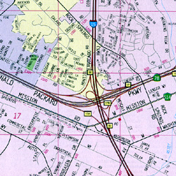
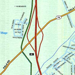
Inspite of such wide culture and area, the maps covers all of the areas with minute details. The California city maps clearly show the orientation and geography. The topography of California can be studied easily with the help of these maps.
Complete directions with compass directions and latitudes and longitudes is stated to make the traveling in California easy.
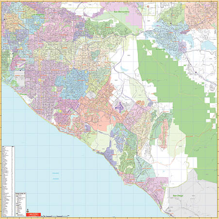
California City Street Maps for Tourists and TravelersDetailed Road Map of California Cities (M to S)Buy travel maps for California City tourist attractions, road trips, street guide, driving directions and more |
California City Maps, M to San Diego
- $36.95 + $7.50 p&h or $28.50 foreign delivery
Item Code : AMER5817
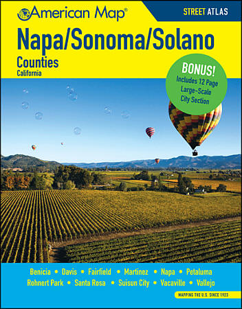 Size 8?"x11". 284 pages. American Map Company edition. The Napa/Sonoma/Solano Counties Street Atlas is full of clear, precise digital mapping and includes coverage of Benicia, Davis, Fairfield, Martinez, Napa, Petaluma, Rohnert Park, Santa Rosa, Suisun City, Vacaville, and Vallejo. It also includes a large scale city section for Santa Rosa, Napa, and Vallejo, as well as a full featured index of places, street names, and places of interest.
 - $10.95
Item Code : RAND5819
 Scale 1:35,000. Size 27"x39". Rand McNally edition.
 - $10.95
Item Code : RAND5821
 Scale 1:35,000. Size 28"x39". Rand McNally edition.
 - $10.95
Item Code : AMER5822
 Scale 1:33,000. Size 27"x39". American Map Company edition.
 - $10.95
Item Code : RAND5824
 Scale 1:35,000. Size 27"x39". Rand McNally edition.
 - $10.95
Item Code : RAND5826
 Scale 1:37,000. Size 28"x40". Rand McNally edition.
 - $10.95
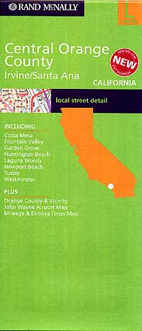
Item Code : AMER5827
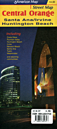
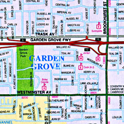 Scale 1:32,000. Size 27"x39". American Map Company edition. Includes Santa Ana, Irvine, Huntington Beach, Costa Mesa, Newport Beach, Fountain Valley, Tustin and Westminster.
 - $10.95
Item Code : RAND5828
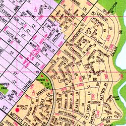 Scale 1:34,000. Size 28"x39". Rand McNally edition. Includes Irvine, Santa Ana, and adjoining communities.
 - $10.95
Item Code : AMER5829
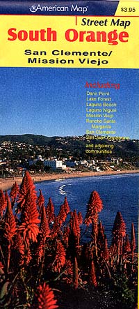
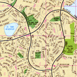
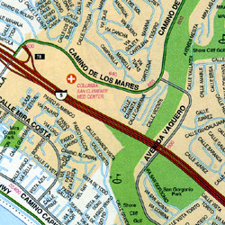
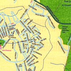 Scale 1:32,000. Size 27"x39". American Map Company edition. Includes San Clemente and Mission Viejo.
 - $10.95
Item Code : RAND5830
 Scale 1:34,000. Size 28"x39". Rand McNally edition. Includes San Clemente and Mission Viejo, and adjoining communities..
 - $26.95 + $7.50 p&h or $28.50 foreign delivery
Item Code : AMER5831
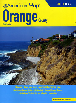
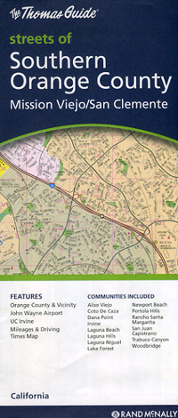
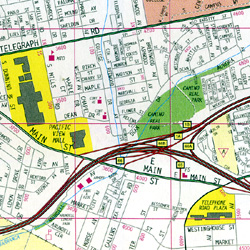
 Scale 1:27,000. Size 8?"x11". 152 pages. American Map Company edition. This street atlas features detailed street maps and a complete index to streets and places. It also shows schools, colleges & universities, hospitals, cemeteries, parks, golf courses, shopping centers & malls, railroad routes, airports, and major highways and roads. Areas included in this atlas are Anaheim, Buena Park, Costa Mesa, Fullerton, Garden Grove, Huntington Beach, Irvine, Mission Viejo, Newport Beach, Santa Ana and Westminster.
 - $10.95
Item Code : RAND5836

 Scale 1:33,000. Size 27"x39". Rand McNally edition.
 - $10.95
Item Code : AMER5823
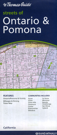
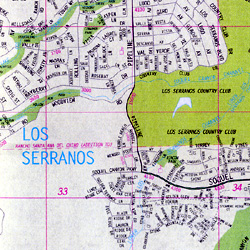
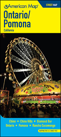 Scale 1:31,000. Size 27"x39". American Map Company edition. The Ontario/Pomona Street Map covers Chino, Chino Hills, Diamond Bar, Ontario, Pomona, and Rancho Cucamonga. It also includes a listing of parks, beaches, campsites, picnic areas, schools, libraries, post offices, zip codes, points of interest, and more.
 - $10.95
Item Code : AMER5825
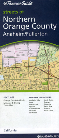
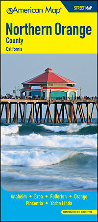 Scale 1:32,000. Size 23"x36". American Map Company edition. The Northern Orange County Street Map covers Anaheim, Brea, Fullerton, Orange, Placentia, and Yorba Linda. It also includes a listing of parks, beaches, campsites, picnic areas, schools, libraries, post offices, zip codes, points of interest, and more.
 - $229.95 + $24.80 p&h (add $40 for spring rollers)
Item Code : UNIV5835
 Scale 1:4,164. Size 54" W x 54" H. Laminated. Printed in color with a markable/washable-laminated surface. Provides hanging rails mounted top and bottom. Cities are indexed on the face of the map. Area of coverage ranges: North: to La Habra and Brea; South: includes San Clemente and Dana Point; East: to Seal Beach and Cypress; West: to Orange County border. Details include major streets/all highways, ZIP codes/boundaries, latitude/longitude lines, county lines/names, parks/golf course/amusement centers/stadiums, water features, government buildings/federal penitentiaries, military installations/airports, hospitals, cemeteries, mileage circles, and points of interest. Railed wall maps can be turned into pull down maps on spring rollers for an additional $40.
 - $10.95
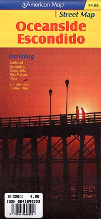
Item Code : RFUS22520
 Rufus Graphics. This detailed pocket guide and map is far more than just a street map. The main map includes walkways, bike routes and bike lanes, neighborhoods, landmarks, and much more. The reverse side has extensive text and photos for helping a tourist enjoy the best sights of the area.
 - $14.95
Item Code : GMJO22545
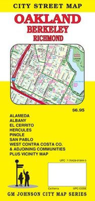
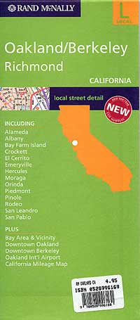
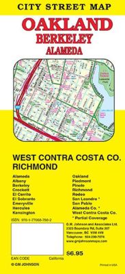 Scale 1:24,000. Size 27"x39". G.M. Johnson edition. This Map Coverage Area are Alameda, Albany, Berkeley, El Cerrito, Emeryville, Hercules, Piedmont, Pinole, Richmond, San Leandro*, San Pablo, West Contra Costa County, El Sobrante, Crockett, Oakland, Kensington, Rodeo, Alameda County.
 - $10.95
Item Code : KING5820
King of the Road edition - $10.95
Item Code : KING5832
King of the Road edition - $10.95
Item Code : KING5833
King of the Road edition
| Postage and handling is $4.40 for the first map and $1.80 for each additional map. ~ ~ ~ ~ ~ ~ Foreign delivery is $15.80 for the first map and $7.60 for each additional map. ~ ~ ~ ~ ~ ~ Canada delivery is $15.80 for the first map and $7.60 for each additional map. |
Exploring California through city maps- M to San Diego.
The third largest state of U.S. California is a house of huge cultural diversities. It is one of the most astonishing places of united states and its beauty and cultural diversity leave people stunned.
The state has an area of about 163,696 sq mi and due to such large area, the climate varies a lot. California has a total 58 counties which can be termed as both cities and towns because Californian law makes no distinction between city and a town.
From ancient times, California has only seen growth. Its movie industry in Los Angeles has been attracting people from all over the world. It also has one of the most popular universities of the world, The Stanford University. The world famous high tech silicon valley is also in California. This proves the richness of California in terms of infrastructure but this surely does not end here. California has a lot of beautiful places, landscapes, rivers and mountainous regions.
California is divided into various regions such as central, northern, eastern, coastal, southern, inland, imperial etc. There are many famous cities such as Modesto, Nevada, Sacramento(capital), San Francisco, Woodland etc.
However, the immigration rate has dropped down because of lack of job opportunities for unskilled workers. It has 72.9% of white population and western culture is followed there. California has a really large economy when compared to other large countries.
Inspite of such wide culture and area, the maps covers all of the areas with minute details. The California city maps clearly show the orientation and geography. The topography of California can be studied easily with the help of these maps.
Complete directions with compass directions and latitudes and longitudes is stated to make the traveling in California easy.
California City Street Maps for Tourists and TravelersDetailed Road Map of California Cities (M to S)Buy travel maps for California City tourist attractions, road trips, street guide, driving directions and more |
