
|
United States Road Maps |
United States
- $12.95
Item Code : MART4856
 Scale 1:2,000,000. Size 28"x40". MapArt edition.
 - $11.95
Item Code : UNIV4858
 Scale 1:2,800,000. Size 23"x25". Universal Map edition.
 - $17.95
Item Code : MICH4859
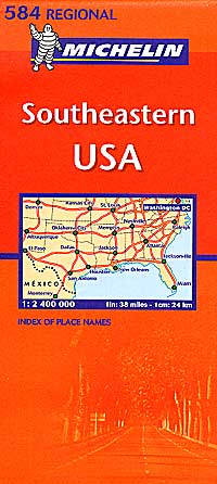
 Scale 1:2,400,000. Size 40"x54". Michelin edition.
 - $16.95
Item Code : HLWG4861

 Scale 1:1,200,000. Size 39"x55". Hallwag edition. Laminated card cover.
 - $10.95
Item Code : RAND4863
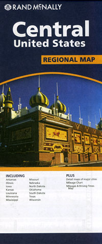
 Scale 1:2,400,000. Size 28"x39". Rand McNally edition.
 - $12.95
Item Code : MART4864
 Scale 1:2,600,000. Size 27"x40". MapArt edition.
 - $10.95
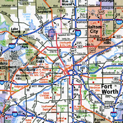
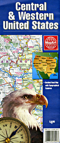
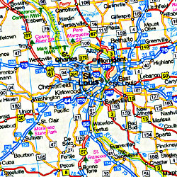
Item Code : FIVE4865
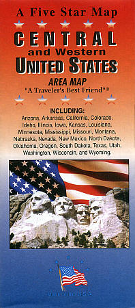
 Scale 1:4,300,000. Size 22"x35". Five Star Maps edition.
 - $17.95
Item Code : ITMB4867
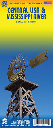
Scale 1:1,840,000. International Travel Maps edition.
ITMB's coverage of the USA is steadily expanding. This particular map follows the course of the great Mississippi River from is headwaters in the northern US to its mouth in New Orleans.
By the nature of its vast area of drainage, which corresponds to the former French domain of Louisiana the land includes some of the most famous historic sites in America, all of which are included on this map. Seventeen States are included on this double-sided map, and while "ol' Miss" is closely associated with the southern States, it is equally associated with the western expansion of America beyond the original thirteen colonies east of the Appalachians and the eventful thrust westwards into the grand prairie region of buffaloes and warrior tribes.
This is a very exciting part of American history, captured on paper as a map. It is incredibly detailed, and if you ever wondered where the Bluewater Battlefield is located, it's on the map "Nebraska, by the way". This map is dedicated to Florence, of La Cartotheque, whose expressive Gallic enthusiasm for a map of the Louisiana Purchase so impressed Lan that our staff devoted the next year and a half to creating this map; printed double-sided on paper.
- $16.95
Item Code : HLWG4869
 Scale 1:1,200,000. Size 39"x55". Hallwag edition. Laminated card cover. USA of the
 - $17.95
Item Code : BORC4870
 Scale 1:3,000,000. Size 20"x39". Borch edition. Indexed. Printed on both sides. English and multilingual legends. Laminated, water proof, easy-fold, flexi-map.
 - $16.95
Item Code : HLWG4874
 Scale 1:1,200,000. Size 39"x55". Hallwag edition. Laminated card cover.
 - $17.95
Item Code : BORC4875
 Scale 1:3,000,000. Size 20"x39". "Borch edition". Indexed. Printed on both sides. English and multilingual legends. Laminated, waterproof, easy-fold, flexi-map.
 - $11.95
Item Code : AMER4710
 Size 4"x10". American Map Company edition. Laminated. Double-sided laminated maps fold and unfold in a flash Vivid shaded relief maps on one side and compelling data and statistics on the other Lamination makes maps markeable and durable Ideal for students, businesspeople, and news hounds
 - $11.95
Item Code : AMER4712
 Size 4"x10". American Map Company edition. Laminated. The U.S. Interstate Highways slicker features major highways, roads and national parks on one side, and state flags, facts and symbols on the other.
 - $104.95 + $8.80 p&h or $18.80 foreign delivery
Item Code : TRAL4740
 Various scales. Trails Illustrated edition. The maps are printed on waterproof, tear-resistant, lightweight, paper-like paper-like plastic.
 - $34.95 + $8.80 p&h or $18.80 foreign delivery
Item Code : TRAL4741
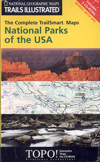
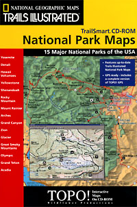 Various scales. Trails Illustrated edition. The maps are printed on waterproof, tear-resistant, lightweight, paper-like plastic. TrailSmart: 15 Major National Parks of the USA features maps for Yosemite, Denali, Hawaii Volcanoes, Yellowstone, Shenandoah, Rocky Mountain, Mount Rainier, Arches, Grand Canyon, Zion, Glacier, Great Smoky Mountains, Olympic, Grand Teton, and Acadia. Great hiking adventures begin with the best maps. TrailSmart features up-to-date National Geographic Trails Illustrated national park maps. Each map is a guide with trail, trailhead, campsite, hiking, safety, and trip-planning information. TOPO! GPS is the next generation of map engines. Its powerful and easy-to-use suite of features gives outdoor enthusiasts and visitors to the national parks the ultimate interactive map. TOPO! GPS includes all of the features of TOPO!. In addition, GPS users can upload and download position and route information directly to a hand-held GPS receiver.
 - $34.95 + $8.80 p&h or $18.80 foreign delivery
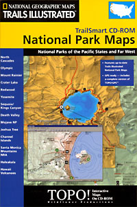
Item Code : TRAL4742
 Various scales. Trails Illustrated edition. The maps are printed on waterproof, tear-resistant, lightweight, paper-like plastic. Great hiking adventures begin with the best maps. TrailSmart features up-to-date National Geographic Trails Illustrated national park maps. Each map is a guide with trail, trailhead, campsite, hiking, safety, and trip-planning information. TOPO! GPS is the next generation of map engines. Its powerful and easy-to-use suite of features gives outdoor enthusiasts and visitors to the national parks the ultimate interactive map. TOPO! GPS includes all of the features of TOPO!. In addition, GPS users can upload and download position and route information directly to a hand-held GPS receiver.
 - $34.95 + $8.80 p&h or $18.80 foreign delivery
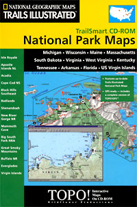
Item Code : TRAL4743
 Various scales. Trails Illustrated edition. The maps are printed on waterproof, tear-resistant, lightweight, paper-like plastic. Great hiking adventures begin with the best maps. TrailSmart features up-to-date National Geographic Trails Illustrated national park maps. Each map is a guide with trail, trailhead, campsite, hiking, safety, and trip-planning information. TOPO! GPS is the next generation of map engines. Its powerful and easy-to-use suite of features gives outdoor enthusiasts and visitors to the national parks the ultimate interactive map. TOPO! GPS includes all of the features of TOPO!. In addition, GPS users can upload and download position and route information directly to a hand-held GPS receiver.
 - $34.95 + $8.80 p&h or $18.80 foreign delivery
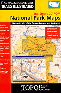
Item Code : TRAL4744
 Various scales. Trails Illustrated edition. The maps are printed on waterproof, tear-resistant, lightweight, paper-like plastic. Great hiking adventures begin with the best maps. TrailSmart features up-to-date National Geographic Trails Illustrated national park maps. Each map is a guide with trail, trailhead, campsite, hiking, safety, and trip-planning information. TOPO! GPS is the next generation of map engines. Its powerful and easy-to-use suite of features gives outdoor enthusiasts and visitors to the national parks the ultimate interactive map. TOPO! GPS includes all of the features of TOPO!. In addition, GPS users can upload and download position and route information directly to a hand-held GPS receiver.
 - $11.95
Item Code : AMER4749
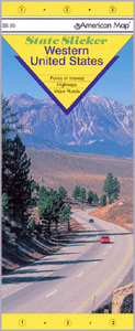 Size 10"x21". American Map Company edition. Laminated. The Western United States Slicker contains detailed inset maps of Alaska highways, the San Francisco area, and the Los Angeles area. This map indicates national monuments, national parks and forests, metropolitan areas, rest stops, time zones and points of interest. It also contains an indext to must-see sights with descriptive information, featuring locations such as Crater Lake National Park, Lake Mead, Enchanted Mesa, Wisconsin Dells and Fort Laramie.
|
United States Road Maps |
