
Riverside and San Bernardino Counties Street ATLAS, California, America.
$36.95
In stock
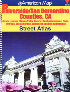
Size 8?"x11". 243 pages. American Map Company edition. The Riverside/ San Bernardino Counties, CA Atlas shows schools, hospitals, golf courses, shopping centers, cemeteries, parks, and wineries, and provides accurate, street-level detail. Areas included on this map are Corona, Fontana, Moreno Valley, Ontario, Rancho Cucamonga, Rialto, Riverside, San Bernardino, Upland and adjoining communities.
Size 8?"x11". 243 pages. American Map Company edition. The Riverside/ San Bernardino Counties, CA Atlas shows schools, hospitals, golf courses, shopping centers, cemeteries, parks, and wineries, and provides accurate, street-level detail. Areas included on this map are Corona, Fontana, Moreno Valley, Ontario, Rancho Cucamonga, Rialto, Riverside, San Bernardino, Upland and adjoining communities.
| Item Price | $36.95 + $7.50 p&h or $28.50 foreign delivery |
|---|
Write Your Own Review