
South Carolina Road Maps | Detailed Travel Tourist Driving
|
South Carolina Road Maps |
South Carolina
- $10.95
Item Code : RAND13283
 Scale 1:41,000. Size 28"x40". Rand McNally edition.
 - $10.95
Item Code : UNIV13319
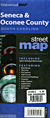
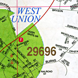 Size 23"x35". Universal Map edition.
 - $10.95
Item Code : UNIV13320
 Scale 1:36,500. Size 25"x38". Universal Map edition.
 - $10.95
Item Code : AMER13321
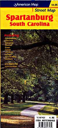
 Scale 1:41,000. Size 26"x40". American Map Company edition.
 - $10.95
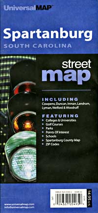
Item Code : UNIV13323
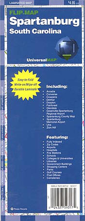
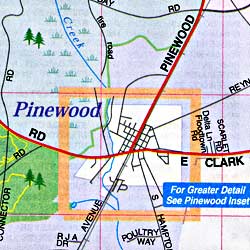
 Scale 1:37,000. Size 11"x30". Universal Map edition. Laminated.
 - $10.95
Item Code : RAND13324
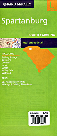
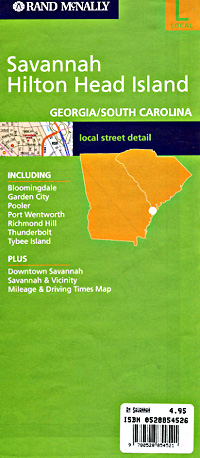
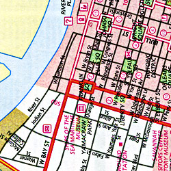
 Scale 1:28,000. Size 28"x40". Rand McNally edition. Detailed city street map.
 - $10.95
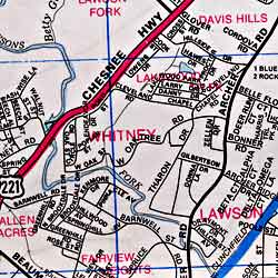
Item Code : UNIV13328

 Scale 1:33,000. Size 24"x38". Universal Map edition.
 - $249.95 + $24.80 p&h (add $40 for spring rollers)
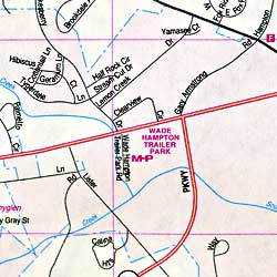
Item Code : UNIV13326
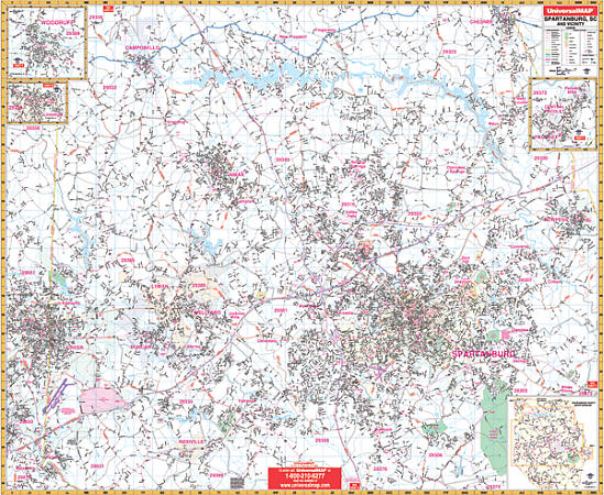 Scale 1:2,600. Size 62" W x 54" H. Laminated. Provides up-to-date cartography with new streets and changes. Printed in color with a markable/washable-laminated surface. Street indexing is included in a separate book. Provided with hanging rails mounted top and bottom. Area of coverage: North: includes Campobello and Chesnee; South: to the intersection of I-26 and US Hwy 221; East: to include the city of Cowpens; West: to include most of the City of Greer. Insets: Landrum, Pacolet, Pacolet Mills, Central Pacolet, and Woodruff. The special features and data are as follows: all streets and highways, government buildings, airports, golf courses and country clubs, water features, railroads, longitude and latitude lines, ZIP codes and ZIP code boundaries, shopping centers, recreational parks, mileage circles, cemeteries, educational facilities, hospitals, post offices, city limits and annexations, fire and police stations, and miscellaneous points of interest. Railed wall maps can be turned into pull down maps on spring rollers for an additional $40.
|
South Carolina Road Maps |
My Wish List
Last Added Items
You have no items in your wish list.
