
Quebec Road Maps | Detailed Travel Tourist Driving
|
Quebec Road Maps |
Quebec Road Maps
- $10.95
Item Code : CTEK12782
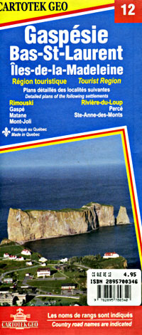
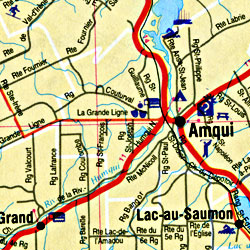
Scale 1:175,000. Size 27"x40". Cartotech edition. English and French text and legends. - $10.95
Item Code : CTEK12783
Scale 1:650,000. Size 27"x40". Cartotech edition. English and French text and legends. - $10.95
Item Code : CTEK12784
 Scale 1:300,000. Size 27"x40". Cartotech edition. English and French text and legends.
 - $10.95
Item Code : CTEK12785
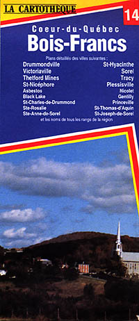
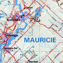
Scale 1:175,000. Size 27"x40". Cartotech edition. English and French text and legends. - $10.95
Item Code : CTEK12786
 Scale 1:175,000. Size 27"x40". Cartotech edition. English and French text and legends.
 - $10.95
Item Code : CTEK12787
Scale 1:175,000. Size 27"x40". Cartotech edition. English and French text and legends. - $17.95
Item Code : ITMB1016
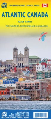
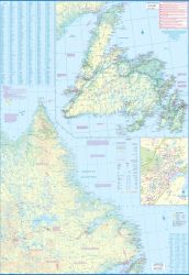
Size 27"x39". International Travel Maps edition.
2nd Edition- Scale varies - On waterproof paper The first edition was published in 2000 using artwork under licence. This edition uses original ITMB artwork. Side 1 cover Nova Scotia, New Brunswick, and Price Edward Island as well as Quebec's Magdalen Islands at a scale of 1:800,000. This side also includes the Top 10 Attractions of the three provinces.
The second side is devoted to the Canadian Province of Newfoundland and Labrador, with the much smaller island portion being a half-page inset at 1:150,000 scale and the larger mainland portion being at 1:1,700,000. The northernmost tip of Quebec/Labrador belongs to Nunavut. St.Pierre et Miquelon, a French overseas possession just south of Newfoundland Island, is also included, as well as the map's only urban inset, historic St.John's, one of North America's oldest cities.
The map also includes a listing of 9 Top Attractions. ITMB also publishes maps of the individual provinces, but the advantages of this regional map is that it combines together four interesting parts of Canada on to one sheet, ideal for someone making a grand circle trip. It is printed on durable, waterproof, decomposable stone paper.
- $17.95
Item Code : BORC12788
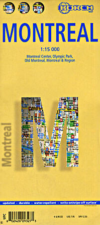
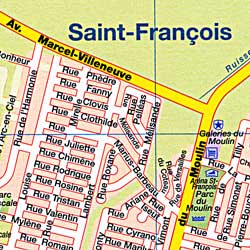
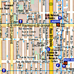 Scale 1:15,000. Size 20"x26". Borch edition. Indexed. Laminated, waterproof, easy-fold, flexi-map. English and multilingual legends. Detailed city street map.
 - $10.95
Item Code : MEAS12789
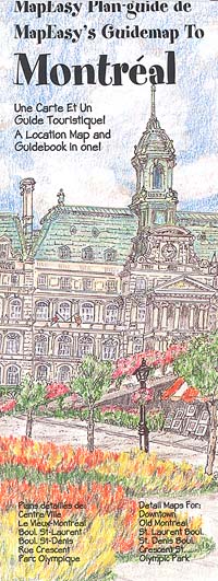
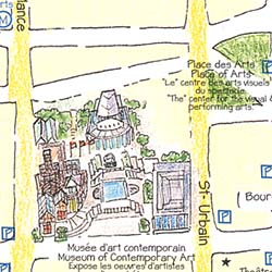 Scale 1:13,000. Map Easy edition. Montreal successfully blends the best of both the English and the French culture in Canada. The bilingual MapEasy Guidemap makes your visit easy and enjoyable. Let us guide you through the best that Montreal has to offer. Begin at the Museum of Fine Arts, then stroll through the vast underground shopping complexes that are a real treat in the colder months. For a change of pace, join us as we explore Old Montreal, with it's period buildings and cultural institutions. When it's time to eat, we `ll give you best of Montreal, whether you are looking for a romantic French bistro or some updated nouvelle cuisine. The Montreal Guidemap includes detailed sections for Old Montreal, Crescent Street, St. Laurent Boulevard, and Olympic Park. MapEasy Guidemaps are made of a tear-resistant and waterproof material that will endure even the most rigorous of travels! Each Guidemap is geographically accurate and to-scale, and contains useful information on hotels and restaurants (including price ranges) as well as facts on museums, cultural events, attractions, and retail shops. All of the information is color-coded, easy-to-use, and fun!
 - $16.95
Item Code : NATL12790
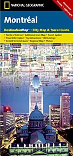
 Scale 1:15,000. National Geographic edition. English text and legends. Detailed city street map. In addition to the easy-to-read map on the front, the back includes: Regional map Points of interest Metro map Airport diagrams for Montreal-Dorval and Montreal Mirabel International airports Inset map of Vieux-Montreal (Old Montreal) Multi-language legend
 - $12.95
Item Code : MART12791
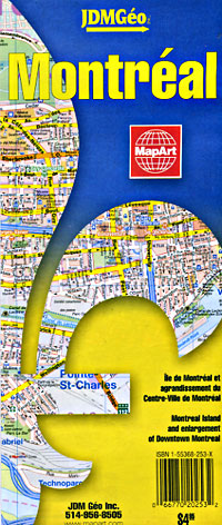
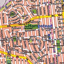
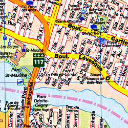
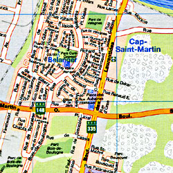 Scale 1:25,000. Size 28"x40". Indexed. MapArt edition. English and French text and legends. Shows all the streets and motorways, one-way streets, toll roads, private lanes, street addresses, parking areas, Metro lines and stations, railways, train stations, commuter rail stations, pedestrian bridges and streets, hotels, motels, shopping centers, beaches, marinas, ferries, lakes, boat ramps, rivers, rapids, streams, canals, locks, marshes, swamps, parks, golf courses, historic sites, buildings, municipal and regional boundaries, tennis courts, race tracks, bicycle paths, fire stations, police stations, post offices, town hall, tourist information centers, bus terminals, schools, colleges and universities, churches, libraries, theatres, museums, art galleries, cinema halls, points of interest and monuments. Also includes a large-scale center city street plan of Montreal at 1:15,625 scale, so you can see all the small streets up close.
 - $12.95
Item Code : MART12792
 Scale 1:31,000. Size 19?"x26". MapArt edition.
 - $11.95
Item Code : FALK12793
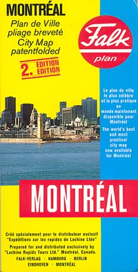
 Scale 1:30,000. Falk Verlag edition. Indexed. English and multilingual legends. Unique patent fold.
 - $17.95
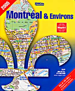
Item Code : ITMB12794
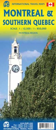
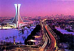
 Scale 1:12,500/1:850,000. Size 27"x39". International Travel Maps edition. Montreal is one of the most attractive cities in North America to visit. It is easily available from NYC, Boston, Toronto, and Washington, and is a major airline hub with flights coming from all over the world. From its earliest days, Montreal has been an attractive city to live in, and for many years was the largest urban area in Canada. The touristic focal point is the old town, called Vieux Montreal, located on the north shore of the St. Lawrence River, but the liveliest portion is closer to the current city centre north of Autoroute 720. The Place Ville Marie and the Eaton Centre provides the main shopping experience, and nearby Chinatown offers its own unique flavour. The city’s quiet Metro system can whisk one to the Ile Ste-Helene, site of the world fair half a century ago, or to Cote des Neiges and the huge Oratory pilgrimage centre on Mont Royal. The reverse side of the sheet, provides a handy travel map of southern Quebec, from Ottawa in the far west to the famous Gaspe Peninsula and from Baie-Comeau to the American border. This enables users two uses of the map – to see a fascinating city and to explore north into the recreational heartland of Quebec or east into the Gulf of St. Lawrence. This map is printed on waterproof stone paper, so is bio-degradable.
 - $12.95
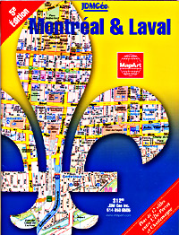
Item Code : MART21414
Scale 1:25,000. MapArt edition. Detailed city street map. - $12.95
Item Code : MART21415
Scale 1:25,000. MapArt edition. Detailed city street map. - $12.95
Item Code : MART21416
Scale 1:25,000. MapArt edition. Detailed city street map. - $19.95 + $6.80 p&h or $18.80 foreign delivery
Item Code : MART12796
 Scale 1:25,000. Size 6?"x9". 100 pages. MapArt edition.
 - $24.95 + $7.80 p&h or $28.80 foreign delivery
Item Code : MART12797
 Scale 1:25,000. Size 7?"x9". 214 pages. MapArt edition.
 - $24.95 + 6.80 p&h or $16.80 foreign delivery
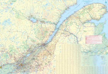
Item Code : MART21370
Various scales. Size 7"x 9". MapArt edition. Over 40 cities between Farnham and La Tuque as well as road maps of Central Quebec.
|
Quebec Road Maps |
