
Ohio Road Maps | Detailed Travel Tourist Driving
|
Ohio Road Maps |
Ohio
- $10.95
Item Code : UNIV12127
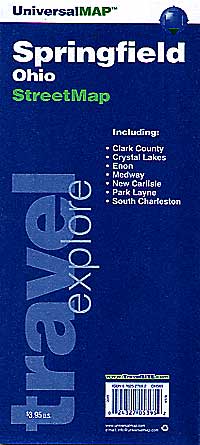
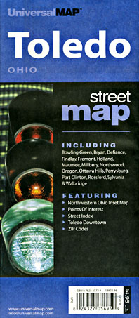
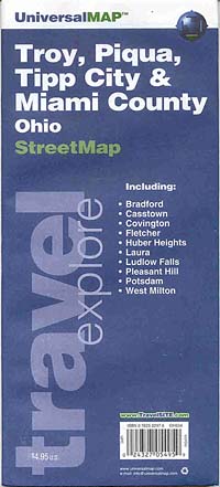
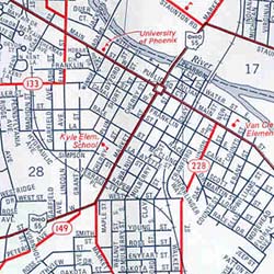
 Scale 1:35,000. Size 18"x24". Universal Maps edition.
 - $10.95
Item Code : RAND12128
 Scale 1:32,000. Size 26"x37". Indexed. Rand McNally edition. City street map.
 - $10.95
Item Code : UNIV12129
 Scale 1:75,000. Size 27"x40". Universal Maps edition. City street map.
 - $11.95
Item Code : UNIV12130
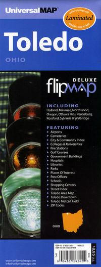
 Scale 1:25,000. Size 23"x26". Universal Maps edition. Laminated.
 - $10.95
Item Code : UNIV12134
 Scale 1:65,000. Size 27"x32". Universal Maps edition. City street map.
 - $249.95 + $24.80 p&h (add $40 for spring rollers)
Item Code : UNIV12133
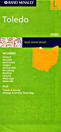
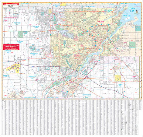 Size 62" W x 54" H. Laminated. The Toledo, Ohio Wall Map by Universal Map includes approximately 375 new streets and changes, shows complete street detail with boundaries north to the Michigan state line; south to Perrysburg; east to Oregon and Millbury; and west to the Toledo Express Airports. Details all streets/highways, government buildings, airports, golf courses/country clubs, railroads, longitude/latitude lines, ZIP codes/boundaries, shopping centers, recreational parks, mileage circles, cemeteries, educational facilities, hospitals, post offices, city limits/annexations, fire/police stations, and more. Measures 62 by 54 inches, is lithographed in 8 colors, laminated, and indexed on the face of the map. Framing rails are included on top and bottom for easy wall mounting. Railed wall maps can be turned into pull down maps on spring rollers for an additional $40.
 - $10.95
Item Code : RAND12135
 Scale 1:38,000. Size 28"x39". Rand McNally edition.
 - $10.95
Item Code : UNIV12136
 Scale 1:38,000. Size 24"x36". Universal Maps edition.
 - $12.95
Item Code : GMJO12138
 Scale 1:32,000. Size 27"x39". G.M. Johnson edition.
 - $249.95 + $24.80 p&h (add $40 for spring rollers)
Item Code : UNIV12137
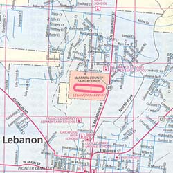
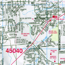
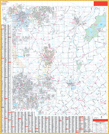 Scale 1:2,310. Size 54" W x 68" H. Laminated. The 2nd Edition Warren County, Ohio Wall Map by Universal Map in complete street detail. Provides up-to-date cartography with new streets and changes. Streets are indexed on the face of the map. Area of coverage: All of Warrne County with boundaries ranging: North: to the Montgomery-Green County line including Carlisle, Franklin, and Springboro; South: to the Clermont County line including Landen, Mainesville, and Loveland; East: to the Clinton County line including Harveysburg; West: to the Bulter County line. Details all streets/highways, government buildings, airports, golf courses/country clubs, railroads, longitude/latitude lines, ZIP codes/boundaries, shopping centers, recreational parks, mileage circles, block numbers, cemeteries, educational facilities, hospitals, post offices, city limits/annexations, fire/police stations, and more. Framing rails are included on top and bottom for easy wall mounting. Railed wall maps can be turned into pull down maps on spring rollers for an additional $40.
 - $10.95
Item Code : RAND12139
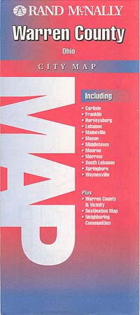
 Scale 1:45,000. Size 28"x40". Rand McNally edition.
 - $12.95
Item Code : GMJO12140
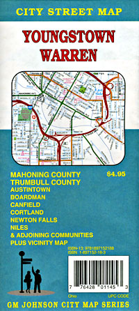
 Scale 1:35,000. Size 27"x39". G.M. Johnson edition.
 - $16.95 + $6.50 p&h or $16.50 foreign delivery
Item Code : GMJO12141
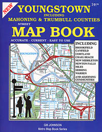
 Scale 1:22,000. Size 8?"x10?". 80 pages. G.M. Johnson edition. (We only sell the latest edition of this atlas, whatever year that may be.)
 - $249.95 + $24.80 p&h (add $40 for spring rollers)
Item Code : UNIV12142
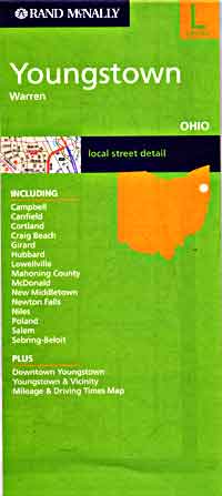
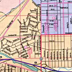
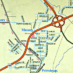
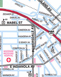
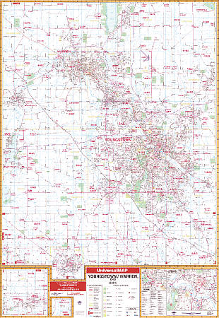 Scale 1:2,640. Size 54" W x 77" H. Laminated. Provides up-to-date cartography with new streets and changes. Printed in color with a markable/washable--laminated surface. Streets are indexed in a separate book. Framing rails are included on top and bottom for easy wall mounting. Area of coverage: North: to the city of Cortland, Bradley-Brownlee Road; South: to the Columbiana County line, including the city of Salem; East: to the Pennsylvania State line; West: to Portage/Geauga County lines. Insets: Downtown Youngstown, West Farmington, and Sebring. Details all streets and highways, government buildings, ZIP codes and boundaries, airports, golf courses and country clubs, railroads, city limits and annexations, post offices, shopping centers, cemeteries, educational facilities, fire and police stations, hospitals, recreational parks, water features, and points of interest.
 - $12.95
Item Code : GMJO12143
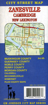
 Scale 1:37,000. Size 27"x39". G.M. Johnson edition.
 -
|
Ohio Road Maps |
