
India States Road Map, S to Z, Detailed, Travel, Tourist, Driving
|
India States Road Maps |
India States, S to Z
- $17.95
Item Code : ITMB9177
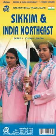
Scale 1:135,000/1:1,500,000. Size 27"x39". International Travel Maps edition.
Sikkim is an autonomous state between India and Chinese-controlled Tibet, much as Bhutan. It is a wonderful, mountainous country to visit, with reasonably good goads going far to the north, well into the Himalayas, and interesting temples/pagodas to see, as well as the fabulous Fam Rong Lho Wildlife Sanctuary.
As anyone visiting this remote state needs to pass through the northeastern area of India to reach Sikkim, we have include a complete, detailed map of Bengal, Bihar, Meghalaya, and the Assam states as well as of the portion of Nepal abutting Sikkim, and an inset map of Kolkata.
The map starts at Kolkata and extends to the Tibetan border, and from Patna in the west to the border with Burma – a lovely area of coverage – value added without an increase in price!
- $24.95
Item Code : GEKO9178

 Scale 1:1,600,000. Size 59" across x 39" (this is a big map!). Gecko edition. Indexed. English and multilingual legends. Beautiful cartography. Easy to read. Includes important travel information. This is our best large-scale map of Tibet. Very detailed.
 - $10.95
Item Code : TTKP9176
Scale 1:200,000. Size 75x101 cms ( = 28"x40"). TTK Pharma edition. Includes trekking information. English text - $12.95
Item Code : TTKP9179
Scale 1:980,000. Size 50x75 cms ( = 20"x30"). TTK Pharma edition. Shows the political subdivisions within the state in different colors, and includes a 45-page tourist information booklet. English text. Printed on waterproof, tear-resistant, lightweight, plastic synthetic paper. - $10.95
Item Code : TTKP9180
Scale 1:460,000. Size 75x101 ( = 28"x40"). TTK Pharma edition. Includes trekking information. English text - $10.95
Item Code : TTKP9181
Scale 1:1,100,000. Size 29"x32". TTK Pharma edition. Includes trekking information. English text - $10.95
Item Code : TTKP9182
Scale 1:1,100,000. Size 50x75 cms ( = 20"x30"). TTK Pharma edition. Shows the political subdivisions in the state in different colors, and includes a 6-page tourist information booklet. English text
|
India States Road Maps |
