
Great Britain Road Maps | Detailed Travel Tourist Driving
|
~ Great Britain Road Maps ~ United Kingdom of England, Scotland, Wales, and Northern Ireland |
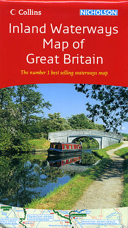
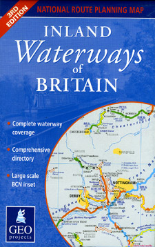
| What you’ll find in this section, all arranged in the following order: a. Great Britain (England, Scotland, and Wales, United Kingdom) Road and Tourist Maps and Atlases (see below) b. Special Tourist Maps of Great Britain (see below) c. Waterways Maps of Great Britain (see below) d. Regional Road and Tourist Maps of Great Britain Click Here e. Sectional Road and Topographic Tourist Maps at 1:50,000 Scale Click Here f. CITY Street Plans and Atlases of Great Britain England Wales Scotland Please look down the list and find the map or atlas of your choice! |
Great Britain Road Maps
- $16.95
Item Code : ORDN8431
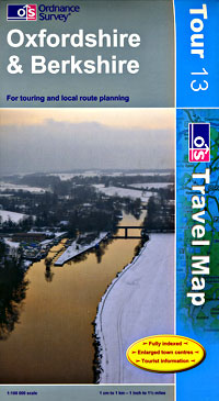
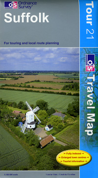
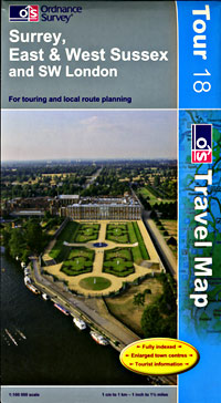
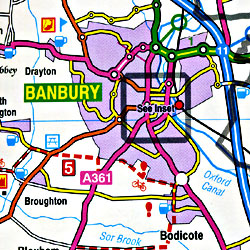 Scale 1:100,000. Size 38"x50". Ordnance Survey edition.
 - $19.95
Item Code : ORDN8432
 Scale 1:625,000. Size 37"x50". Ordnance Survey. Folded. Beautiful map. Filled with wonderful information.
 - $16.95
Item Code : ORDN8433
 Scale 1:100,000. Size 38"x50". Ordnance Survey edition.
 - $16.95
Item Code : ORDN8434
 Scale 1:100,000. Size 37"x50". Ordnance Survey edition.
 - $18.95
Item Code : CLNS8435
 Collins edition. Scale 1:550,000. Size 37"x50". Good scale map!
 - $16.95
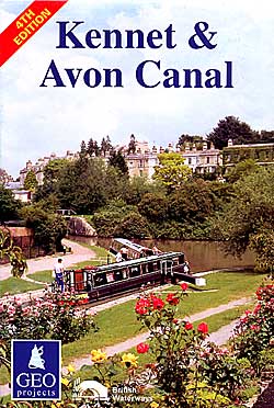
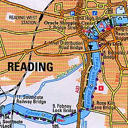
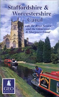
Item Code : GEOP8436
 Scale 1:625,000. Size 34"x37". GEOprojects edition.
 - $14.95
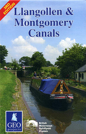
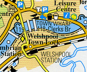
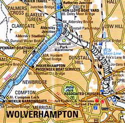
Item Code : GEOP8437
 Scale 1:50,000. Size 34"x37". GEOprojects edition.
 - $13.95
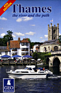
Item Code : GEOP8438
 Scale 1:60,000. Size 17"x37". GEOprojects edition.
 - $13.95
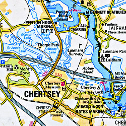
Item Code : GEOP8439
 Scale 1:53,750. Size 17"x50". GEOprojects edition.
 - $14.95
Item Code : GEOP8440
 Scale 1:60,000. Size 17"x37". GEOprojects edition.
 -
- $14.95
Item Code : GEOP8442
 Scale 1:60,000. Size 17"x46". GEOprojects edition.
 - $14.95
Item Code : GEOP8443
 Scale 1:60,000. Size 17"x55". GEOprojects edition.
 - $14.95
Item Code : GEOP8444

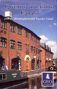
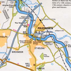
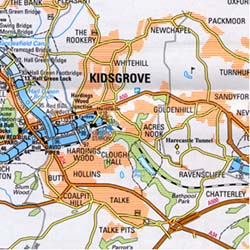 1, Great Britain. Scale 1:60,000. Size 17"x36". GEOprojects edition.
 - $14.95
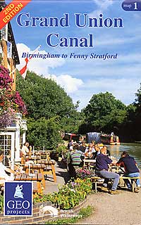
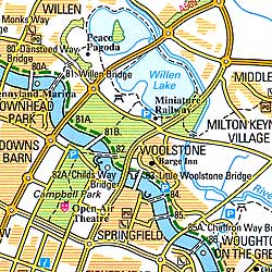
Item Code : GEOP8445
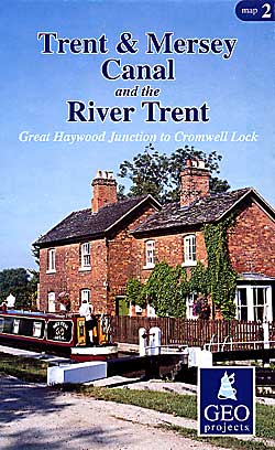
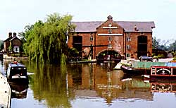 2, Great Britain. "Various scales". GEOprojects edition.
 - $16.95
Item Code : KUNH20521
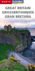 Scale 1:1,000,000. Kunth Wolfgang Verlag edition.
 - $17.95
Item Code : MRCO20886
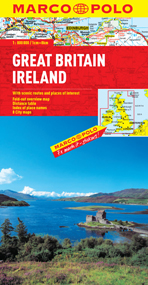 Scale 1:800,000. Marco Polo maps feature completely up-to-date, digitally generated mapping. The high quality cartography with distance indicators and scale converters aid route planning. Contains city maps of: Liverpool, Glasgow, Edinburgh, Birmingham, Oxford, Cambridge, London and Dublin. A fold-out overview map is ideal for route planning and 7 self-adhesive Marco Polo mark-it stickers can be used to pin-point a destination or route for future reference. Scenic routes and places of interest are highlighted - ideal for touring holidays. Comprehensive index.
|
~ Great Britain Road Maps ~ United Kingdom of England, Scotland, Wales, and Northern Ireland |
| What you’ll find in this section, all arranged in the following order: a. Great Britain (England, Scotland, and Wales, United Kingdom) Road and Tourist Maps and Atlases (see below) b. Special Tourist Maps of Great Britain (see below) c. Waterways Maps of Great Britain (see below) d. Regional Road and Tourist Maps of Great Britain Click Here e. Sectional Road and Topographic Tourist Maps at 1:50,000 Scale Click Here f. CITY Street Plans and Atlases of Great Britain England Wales Scotland Please look down the list and find the map or atlas of your choice! |
