
Georgia Road Maps | Detailed Travel Tourist Driving
|
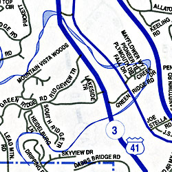
Georgia Road Maps |
Georgia State
- $11.95
Item Code : ADCM22703
 ADC Maps edition. This map of the Atlanta, GA area is durably laminated and contains extensive coverage. Laminated maps are easy to fold, write on, and wipe off. Coverage includes: a street-detail inset of the Buckhead area and Downtown Atlanta; and features: Airports, Colleges and Universities, Golf Courses, Hospitals, Parks and Rec Areas, Places of Interest, and ZIP Codes.
 - $10.95
Item Code : ADCM22708
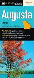 ADC Maps edition. The Augusta, GA fold map by Kappa Map Group includes: In Georgia: Grovetown & Harlem. In South Carolina: Burnettown & North Augusta. This fold map features: Airports, Colleges & Universities, Golf Courses, Parks & Rec Areas, Places of Interest & ZIP Codes.
 - $10.95
Item Code : UNIV8080
 Size 23"x25". Universal Map edition.
 - $10.95
Item Code : UNIV8081
 Size 23"x35". Universal Map edition.
 -
- $10.95
Item Code : UNIV8083
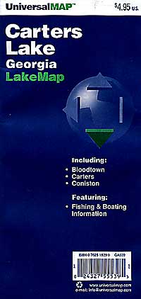
 Scale 1:24,000. Size 24"x36". Universal Map edition.
 - $16.95
Item Code : NATL20975
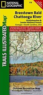
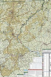 Scale 1:70,000. Size 26"x38". National Geographic edition. Located just north of Atlanta, the Chattahoochee National Forest contains the southern terminus of the Appalachian Trail along with an abundance of recreational opportunities for outdoor enthusiasts of all interests. This map contains carefully researched trails, campsites, forest service roads, and points-of-interest. Useful UTM and Latitude/Longitude grids, mileage charts, and other navigation features make Brasstown Bald/Chattooga River the best map available for this section of the Chattahoochee National Forest.
 - $249.95 + $24.80 p&h (add $40 for spring rollers)
Item Code : UNIV8085
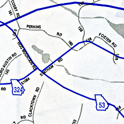
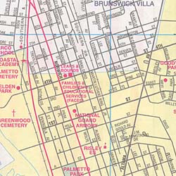
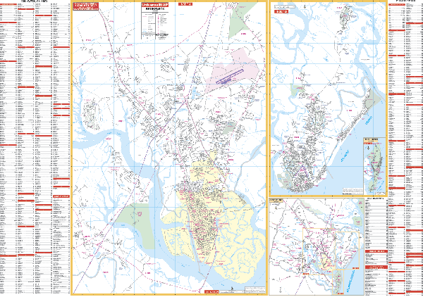 Size 67" W x 50" H. Laminated. The Brunswick, Georgia Wall Map by Universal Map includes St. Simons Island and Jeckyll Island. Printed in color with a markable and washable laminated surface. Streets are indexed on the face of the map. Area of coverage is in three sections. Section I includes Brunswick, north to Hofwyl-Broadfield Plantation; south to South Brunswick River and Georgia Coast Guard Station; east to Little River; and west to Twin rivers and South Port. Section II includes St. Simons Island, north to Hampton Plantations; south to Lighthouse; east to Ocean Forest Golf Course; and west to Frederica River. Section III includes Jekyll Island with a Glynn County inset. Shows all city streets and highways, government buildings, airports, ZIP codes/boundaries, golf courses/country clubs, water features, street indexing, post offices, shopping centers, recreational parks, city limits/annexations, educational facilities, fire/police stations, hospitals, railroads, subdivision names, cemeteries, mileage circles, and more. Printed in color, laminated, and includes framing rails on top and bottom for easy wall hanging. Railed wall maps can be turned into pull down maps on spring rollers for an additional $40.
 -
-
-
- $10.95
Item Code : UNIV8086
 Scale 1:100,000. Size 25"x37". Universal Map edition.
 - $10.95
Item Code : UNIV8087
 Scale 1:24,000. Size 20"x29". Universal Map edition.
 - $10.95
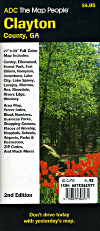
Item Code : ADCM8089
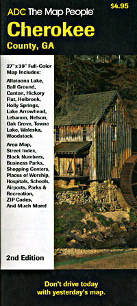
 Scale 1:28,000. Size 27"x39". ADC Maps edition.
 - $10.95
Item Code : UNIV8090
 Scale 1:40,000. Size 27"x39". Universal Map edition.
 - $10.95
Item Code : UNIV8093
 Scale 1:39,000. Size 22"x28". Universal Map edition.
 - $10.95
Item Code : ADCM8094
 Scale 1:17,000. Size 27"x39". ADC Maps edition.
 - $10.95
Item Code : RAND8097

 Scale 1:34,500. Size 28"x40". Rand McNally edition.
 - $10.95
Item Code : ADCM8098
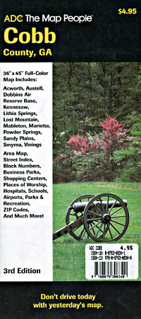
 Scale 1:42,000. Size 36"x45". ADC Maps edition.
 - $15.95 + $5.50 p&h or $18.50 foreign delivery
Item Code : UNIV8099
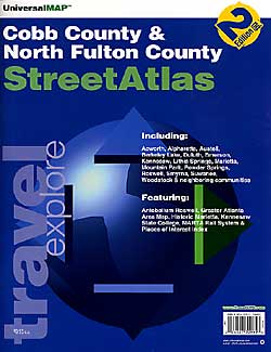
 Scale 1:28,000. Size 8?"x11". 95 pages. Universal Maps edition.
|
Georgia Road Maps |
