
Florida City Maps, O to Z | Detailed, Travel, Tourist Street
|
Florida City Street Maps |
Florida City Maps, O to Z
- $12.95
Item Code : GMJO22674
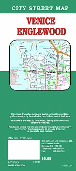 G.M. Johnson edition. Detailed city street map of Venice, FL. Also covers Englewood, South Sarasota County and Adjoining Communities.
 - $12.95
Item Code : GMJO22675
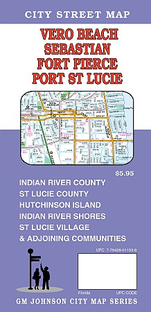
 G.M. Johnson edition. A detailed and up to date city street map of Vero Beach, FL. Also covers Sebastian, Fort Pierce, Port St Lucie, Indian River County, Hutchinson Island, Indian River Shores & Adjoining Communities.
 - $10.95
Item Code : UNIV18604
 Scale 1:135,000. Size 22x38". Universal Map edition.
 - $10.95
Item Code : AMER18605
 Scale 1:18,000. Size 27"x40". American Map Company edition.
 - $10.95
Item Code : AMER18606
 Scale 1:49,000. Size 10"x21". American Map Company edition. Laminated.
 - $10.95
Item Code : RAND18607
Scale 1:32,000. Size 28"x40". Rand McNally edition. - $11.95
Item Code : UNIV18609
 Scale 1:48,000. Size 23"x26". Universal Map edition. Laminated.
 - $14.95 + $5.50 p&h or $18.50 foreign delivery
Item Code : UNIV18610
 Scale 1:39,000. Size 8?"x11". 84 pages. Universal Map edition.
 - $24.95 + $7.50 p&h or $28.50 foreign delivery
Item Code : AMER18611

 Scale 1:13,000. Size 9"x12". 108 pages. American Map Company edition.
 - $10.95
Item Code : AMER18614
 Scale 1:43,000. Size 27"x40". American Map Company edition.
 - $10.95
Item Code : UNIV18615

 Scale 1:43,000. Size 27"x39". Universal Map edition.
 - $10.95
Item Code : RAND18616
 Scale 1:42,000. Size 28"x40". Rand McNally edition.
 - $11.95
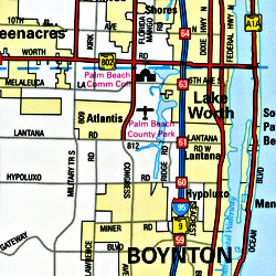
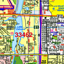
Item Code : UNIV18618
 Scale 1:47,000. Size 23"x26". Universal Map edition. Laminated.
 - $249.95 + $24.80 p&h (add $40 for spring rollers)
Item Code : UNIV18612
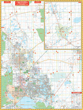
 Scale 1:2,413. Size 54" W x 74" H. Laminated. Florida Wall Map by Universal Map features full-color cartography with streets indexed in a separate book. Details include all streets and highways, mileage circles, shopping centers, water features, recreational parks, section/range/township lines, government buildings, fire and police stations, educational facilities, golf courses and country clubs, zip codes and boundaries, longitude/latitude lines, block numbers, airports, post offices, hospitals, railroads, and cemeteries and offers up-to-date cartography with new streets and changes. The area of coverage includes all of Palm Beach County with the following boundaries: North: to the Martin County line; South: to the Broward County line; East: to the Atlantic Ocean; West: to 4 miles west of Lion Country Safari. Insets for this map are Belle Glade, Canal Point, Pohokee and South Bay, and Okeechobee. Framing rails are included on top and bottom for easy wall mounting. Railed wall maps can be turned into pull down maps as a $40 option.
 - $249.95 + $24.80 p&h (add $40 for spring rollers)
Item Code : UNIV18613
 Scale 1:2,816. Size 53" W x 65" H. Laminated. Includes: up-to-date cartography with new streets and changes, and a laminated surface which is markable and washable. Streets are indexed in a separate book. Area of coverage: North: to the Flagler County Line; South: to the Seminole County line; East: to Seville, Connersville, Pierson, Elridge, and Barberville; West: including DeLand, Lake Helen, Cassadaga, Orange City, Debary, Deltona, Deleon Springs, Glenwood, and Osteen. Details included: all streets, airports, government buildings, post offices, cemeteries, fire and police stations, hospitals, shopping centers, educational facilities, railroads, water features, golf courses and country clubs, points of interest, recreational parks, ZIP codes and boundaries, subdivisions, city limits and annexations, section/township/and range lines, subdivisions, mileage circles, block numbers, and points of interest. Railed wall maps can be turned into pull down maps as a $40 option.
 - $12.95
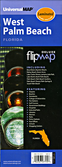
Item Code : GMJO22676
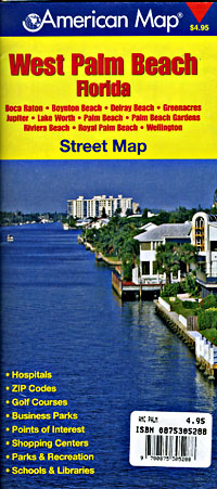
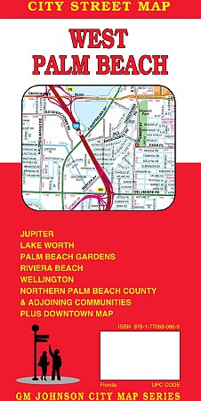 G.M. Johnson edition. A detailed and accurate city street map of West Palm Beach, FL. Also covers Jupiter, lake Worth, Palm Beach Gardens, Riviera beach, Wellington, Northern Palm Beach County & Adjoining Communities plus downtown map. Produced using the latest mapping technology.
 - $10.95
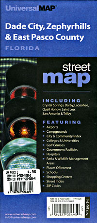
Item Code : RAND22677
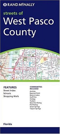 Rand McNally edition. This detailed map of Pasco County, Florida has complete coverage for the county, with inset maps for towns, plus most major tourist and business districts. When you flip the map over, you will find a complete street index and a "city and vicinity" map of the entire metro area.
 - $12.95
Item Code : GMJO22671
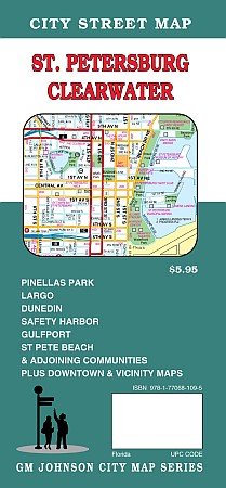
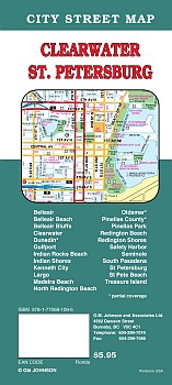 G.M. Johnson edition. An accurate and detailed city street map of St.Petersburg, FL. Also coers Pinellas Park, Largo, Dunedin, Safety Harbor, Gulfport, St.Pete Beach & Adjoining Communities.
 - $10.95
Item Code : UNIV18620
 Scale 1:36,000. Size 27"x39". Universal Map edition.
|
Florida City Street Maps |
