
Florida City Maps, O to Z | Detailed, Travel, Tourist Street
|
Florida City Street Maps |
Florida City Maps, O to Z
- $10.95
Item Code : RAND18549
 Scale 1:31,000. Size 36"x45". Rand McNally edition.
 - $10.95
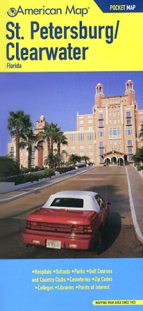
Item Code : AMER18550

 Scale 1:37,000. Size 27"x40". American Map Company edition.
 - $10.95
Item Code : AMER18551
 Scale 1:37,000. Size 10"x21". American Map Company edition. Laminated.
 - $10.95
Item Code : UNIV18552
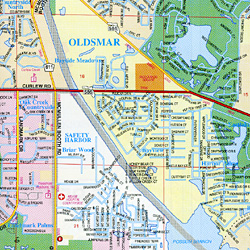 Scale 1:40,000. Size 27"x40". Universal Map edition.
 - $11.95
Item Code : UNIV18553
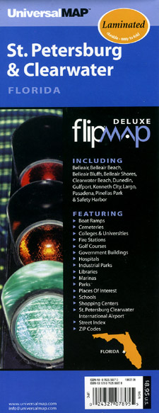
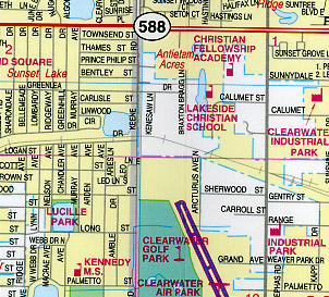 Scale 1:63,000. Size 22"x26". Universal Map edition. Laminated.
 - $17.95 + $5.50 p&h or $18.50 foreign delivery
Item Code : UNIV18556
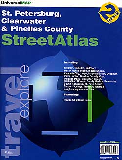
 Scale 1:30,000. Size 8?"x11". 88 pages. Universal Map edition.
 - $12.95
Item Code : GMJO18560
 Scale 1:32,000. Size 27"x39". G.M. Johnson edition.
 - $12.95
Item Code : GMJO18562
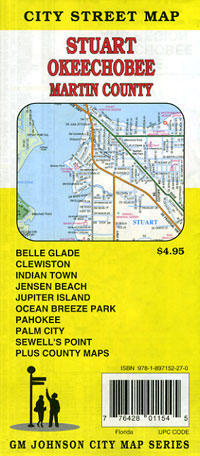
 Scale 1:37,000. Size 27"x39". G.M. Johnson edition.
 - $10.95
Item Code : UNIV18564
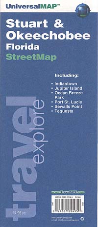
 Scale 1:38,000. Size 27"x39". Universal Map edition.
 - $10.95
Item Code : MSUP18565
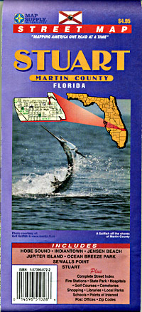
 Scale 1:26,000. Size 36"x48". Map Supply edition.
 -
- $249.95 + $24.80 p&h (add $40 for spring rollers)
Item Code : UNIV18541
Scale 1:2,222. Size 76"x 49". Laminated. Printed in color on a laminated surface that is both markable and washable. A street index appears in a separate book. Coverage includes all of Seminole County with the following boundaries: North: to the Volusia County line; South: to SR 50 in Orange County; East: to the Volusia County line; West: to the Orange County line. Identifies all streets/highways, post offices, hospitals, railroads, mileage circles, block numbers, airports, cemeteries, shopping centers, water features, recreational parks, section/township/and range lines, government buildings, fire/police stations, educational facilities, golf courses/country clubs, ZIP codes/boundaries, realtor reference numbers, and points of interest. Framing rails are included on top and bottom for easy wall mounting. Railed wall maps can be turned into pull down maps as a $40 option. - $249.95 + $24.80 p&h (add $40 for spring rollers)
Item Code : UNIV18545
Size 54" W x 68" H. Laminated. Printed in color on a laminated surface that is both markable and washable. Indexing appears on the face of the map. The area of coverage includes all of St. John's County, with the following boundaries to include the cities and townships of Fruit Cove, Flagler Estates, Hastings, Ponte Vedra Beach, St. Augustine, and St. Augustine Beach. North: to the Duval County Line; South: to the Flagler County Line; East: to the Atlantic Ocean; West: to the St. Johns River. There is an inset of the Historic St. Augustine. Details included with this map are: all streets, post offices, hospitals, railroads, mileage circles, airports, cemeteries, shopping centers, water features, recreational parks, government buildings, fire and police stations, educational facilities, golf courses and country clubs, section/township/range lines, city limits/annexations, ZIP code numbers/boundaries, and points of interest. Framing rails are included on top and bottom for easy wall mounting. Railed wall maps can be turned into pull down maps as a $40 option. - $249.95 + $24.80 p&h (add $40 for spring rollers)
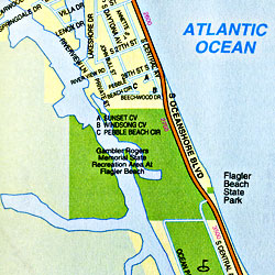
Item Code : UNIV18547
Scale 1:2,415. Size 42" W x 58" H. Laminated. Printed in color on a durable laminated surface making it markable and washable. Street index appears on the face of the map. Framing rails are included top and bottom for easy wall mounting. Railed wall maps can be turned into pull down maps as a $40 option. Coverage includes all of Fort Pierce, FL with the following boundaries: North: to the St. Lucie- Indian River County line; ? South: to the St. Lucie-Martin County boundary; ? East: to the Atlantic Ocean; ? West: 7.5 miles west of the Fort Pierce city limits. ? Insets: St. Lucie County General Highway Map Details are as follows: all streets & highways, government buildings, airports, water features, fire/police stations, hospitals, shopping centers, educational facilities, railroads, recreational parks, golf & country clubs, post offices, city limits & annexations, cemeteries, ZIP codes & boundaries, township/range/section lines, industrial parks, subdivisions, and points of interest. - $10.95
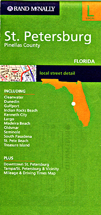
Item Code : RAND22687
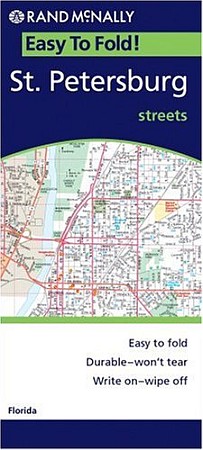 Rand McNally edition. The durable and convenient EasyFinder of St. Petersburg, Florida will take all the wear and tear your journey can dish out. The laminated design allows you to mark your route, make notes, then wipe the surface clean for further use. This map features enhanced cartography with: Clearly indicated highways, County Boundaries, Streets, Points of Interest and National Parks.
 - $10.95
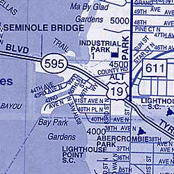
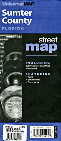
Item Code : UNIV18539
Scale 1:42,000. Universal Maps Enterprises edition - $10.95
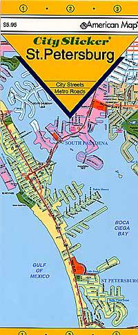
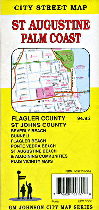
Item Code : ADCM18554
ADC Maps edition. Laminated, easy-fold "Slicker". City street map. -
- $229.95 + $24.80 p&h (add $40 for spring rollers)
Item Code : UNIV18568
Scale 1:2,400. Size 58" W x 80" H. Laminated. Printed in color with a markable/washable--laminated surface. Street index provided on the face of the map. Framing rails are included on top and bottom for easy wall mounting. Railed wall maps can be turned into pull down maps on spring rollers for an additional $40. Area of coverage: North: to the Marion County line; South: to the Polk County line; East: to the Lake County line; West: to the Citrus/Hernando County line. Details include all streets and highways, government buildings, airports, water features, fire/police stations, hospitals, shopping centers, educational facilities, railroads, recreational parks, post offices, city limits/annexations, cemeteries, ZIP codes/boundaries, and points of interest. -
|
Florida City Street Maps |
