
Connecticut Road Maps | Detailed Travel Tourist Driving
|
Connecticut Road Maps |
Connecticut
-
-
- $10.95
Item Code : RAND22631
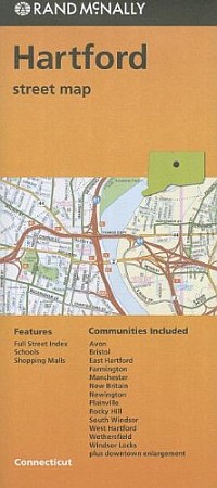 Rand McNally edition. Rand McNally's folded map for Hartford is a must-have for anyone traveling in and around this part of Connecticut, offering unbeatable accuracy and reliability at a great price. Our trusted cartography shows all Interstate, U.S., state, and county highways, along with clearly indicated parks, points of interest, airports, county boundaries, and streets. The easy-to-use legend and detailed index make for quick and easy location of destinations. You'll see why Rand McNally folded maps have been the trusted standard for years. Regularly updated Full-color maps Clearly labeled Interstate, U.S., state, and county highways Indications of parks, points of interest, airports, county boundaries, schools, shopping malls, downtown & vicinity maps Enlargments of downtown Easy-to-use legend Detailed index & full sreet index Convenient folded size
 - $10.95
Item Code : AMER6499
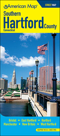 Size 27"x35". American Map Company edition. Laminated. Convenient folding map with street level detail includes parks, hospitals, golf courses, cemeteries, shopping centers & malls, libraries, post offices, colleges & universities, schools, an address locator and other points of interest. Areas included in this map are Berlin, Bristol, Avon, Burlington, Farmington, Glastonbury, Manchester, Marlborough, New Britain, Newington, Plainville, Rocky Hill, Southington, and Wethersfirld.
 - $10.95
Item Code : RAND6498
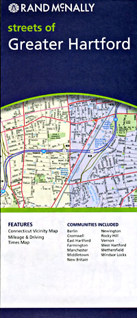
 Scale 1:45,000. Size 28"x40". Rand McNally edition. Detailed city street map.
 - $12.95
Item Code : AMER6500
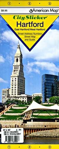
 Scale 1:24,000. Size 20"x25". American Map Company edition. Laminated. The Hartford City Slicker contains detailed insets of East Hartford and West Hartford, and an index to streets and places. This map indicates parks, airports, schools, golf courses, train stations, municipal buildings, beaches, playgrounds, marinas and other points of interest. Out-of-towners can travel with the confidence of natives with laminated Slicker maps. Easy-to-handle, easy-to-read, they unfold in a flash. Their special lamination makes them durable and markable, withstanding the trials of any travel itinerary.
 -
- $10.95
Item Code : AMER6505
 Scale 1:31,000. Size 27"x40". American Map Company edition.
 - $10.95
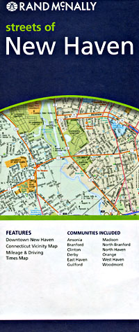
Item Code : RAND6506
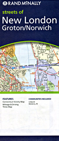
 Scale 1:34,000. Size 28"x40". Rand McNally edition.
 - $10.95
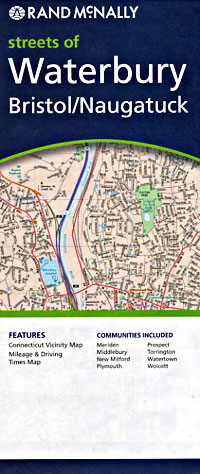
Item Code : RAND6507
 Scale 1:34,000. Size 28"x40". Rand McNally edition.
 - $10.95
Item Code : RAND6510
 Scale 1:30,000. Size 28"x40". Rand McNally edition.
 - $10.95
Item Code : UNIV6513
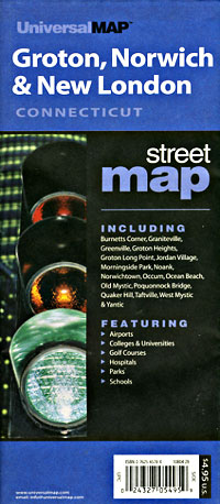
 Scale 1:24,000. Size 24"x36". Universal Map edition.
 - $10.95
Item Code : AMER6508
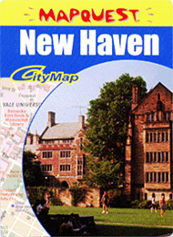 Size 12"x17". American Map Company edition. New Haven MapQuest CityMap is a combined map and travel guide featuring street-level detail, major attractions and activities, public transit, and airports, all in a wallet-sized format.
 - $10.95
Item Code : AMER6511
 Size 4"x9" (folded). American Map Company edition. Our Maps Have It All! Up-To-Date Streets, Towns, and Places of Interest Easy-To-Read Vicinity and Detailed Maps The Perfect Complement to Your GPS System Up-To-Date Features Block Numbers ZIP Codes Shopping Centers Golf Courses and Country Clubs Schools and Universities Parks Airports Hospitals Cemeteries and much more...
 - $10.95
Item Code : AMER22633
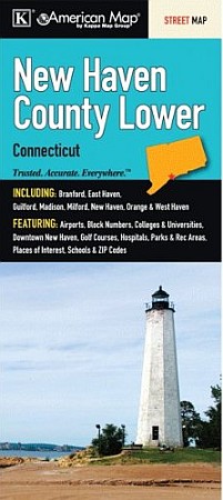 American Map Company edition. This color street map of Lower New Haven County, CT includes: Branford, East Haven, Guilford, Madison, Milford, New Haven, Orange, and West Haven; and features: Airports, Block Numbers, Colleges and Universities, Downtown New Haven, Golf Courses, Hospitals, Parks and Rec Areas, Places of Interest, Schools, and ZIP Codes and much more.
 - $24.95 + $7.50 p&h or $24.80 foreign delivery
Item Code : HAGS22636
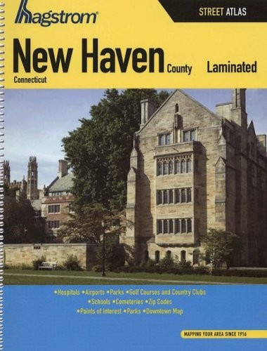 Hagstrom edition.
 - $12.95
Item Code : AMER6514
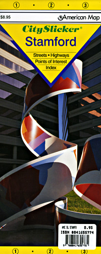
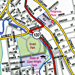 Scale 1:24,000. Size 20"x25". American Map Company edition. Laminated. This Stamford, CT Slicker contains an index to streets, and shows highways, beaches, playgrounds, cemeteries, post offices, parks, airports, hospitals, schools and points of interest.
 - $10.95
Item Code : AMER6516
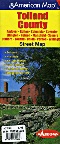
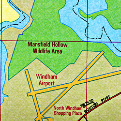 Scale 1:28,000. Size 34"x44". American Map Company edition. Includes Andover, Bolton, Columbia, Coventry, Ellington, Hebron, Mansfield, Somers, Statford, Tolland, Union, Vernon, Wilmington.
 - $10.95
Item Code : RAND6517
Scale 1:34,000. Size 28"x40". Rand McNally edition. - $10.95
Item Code : AMER6519
 Scale 1:18,000. Size 27"x40". American Map Company edition.

|
Connecticut Road Maps |
