
Colorado Recreation Areas Road Maps | Detailed Travel Tourist Driving
|
Colorado Recreation Areas |
Colorado Recreation Areas
- $17.95
Item Code : TRAL6396
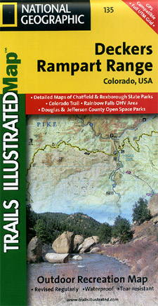
 Scale 1:58,000. Size 22"x32". The Deckers/Rampart Range Trails Illustrated map is the most comprehensive recreational map for this popular area along Colorado's Front Range. Coverage includes: Pike National Forest; Roxborough State Park; Cheeseman Lake/Canyon; the gold medal trout waters of the South Platte River; cities of Westcreek, Deckers, Pine Nook, Sprucewood, Pine, Buffalo Creek and Waterton Canyon; Reynolds Park; Stoney Pass and portions of the Colorado Trail.
 - $17.95
Item Code : TRAL6397

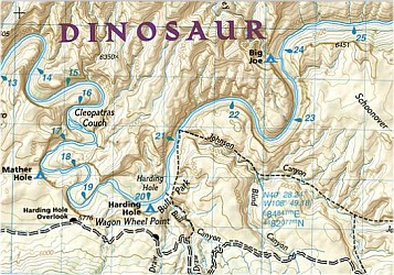 Scale 1:78,000. Size 22"x38". Trails Illustrated edition. Printed on waterproof, tear-resistant, lightweight, paper-like plastic. This Trails Illustrated topographic map for Dinosaur National Monument, which straddles the state lines of northwest Colorado and northeast Utah, is the perfect recreational map for this stunning monument. Within its craggy hills, you can discover pieces of a long ago world where the largest land creatures of all time once roamed and died. The map covers the entire national monument area, with detailed trails and topographic information. Included are the Lodore Nature Trail, The Green River, Yampa River, Jenny Lind Rock, Harpers Corner Nature Trail, Rainbow Park, Dinosaur Quarry, the Green Riuver Campground, and much more.
 - $17.95
Item Code : TRAL6398
 Scale 1:125,000. Size 26"x37".
 - $16.95
Item Code : NATL21022
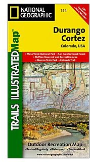
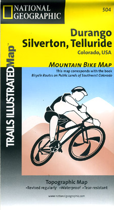
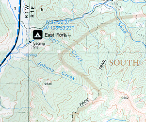
 Scale 1:40,000. Size 26"x38". National Geographic edition. This comprehensive recreational map for the Durango/Cortez area of Colorado includes Uncompaghre, San Juan, Gunnison and Rio Grande National Forests; trails around Wolf Creek, Pagosa Springs, Bayfield, Durango, Hermosa, Purgatory, Silverton, Lake City, Telluride, Ophir and Dolores; and McPhee Reservoir.
 - $17.95
Item Code : TRAL6399
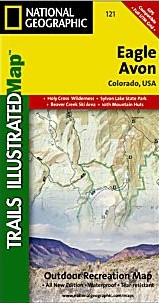
 Scale 1:41,000. Size 22"x32". The Eagle/Avon Trails Illustrated map is the most comprehensive recreational map for this picturesque area of central Colorado. Coverage includes: White River National Forest; Bull Gulch Wilderness Area; Holy Cross Wilderness; the cities of Eagle, Gypsum, Avon, Wolcott and Fulford; Eagle River; Beaver and Squaw creeks and Hardscrabble Mountain. Ski areas: Beaver Creek and Arrowhead. 10th Mountain Huts: Polar Star Inn.
 - $17.95
Item Code : TRAL6400
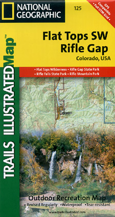
 Scale 1:41,000. Size 22"x32". The Flat Tops SW/Rifle Trails Illustrated map is the most comprehensive recreational map for this beautiful area in western Colorado. Coverage includes: White River National Forest; Grand Hogback; and the Rifle Gap and Rifle Falls State Recreation Areas; Rifle Mountain Park; and the city of Rio Blanco. Also includes Rifle Gap Reservoir, Rifle Creek, and Meadow Lake.
 - $17.95
Item Code : TRAL6401
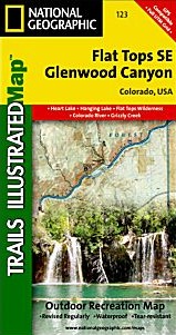
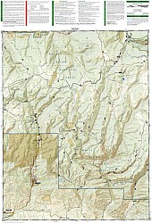
 Scale 1:41,000. Size 22"x38". The Flat Tops SE/Glenwood Canyon Trails Illustrated map is the most comprehensive recreational map for this beautiful area of Colorado. Coverage includes: White River National Forest; Flat Tops Wilderness; Deep Creek Recreational Area; Eagle and Colorado rivers; Coffee Pot Lakes, Heart, Haypress, Hanging and Sweetwater lakes; Tibbett's Ridge; Glenwood Canyon Trail; and Cottonwood Pass.
 - $17.95
Item Code : TRAL6402
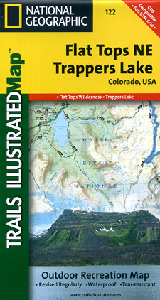
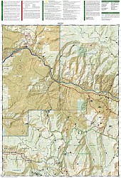
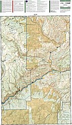
 Scale 1:41,000. Size 22"x38". The Flat Tops NE/Trappers Lake Trails Illustrated map is the most comprehensive recreational map for this picturesque area of Colorado. Coverage includes: White River and Routt national forests; Flat Tops Wilderness; Stillwater and Yamcolo reservoirs; the North Fork of the White River; and Marvine, Twin, Island, Trappers and Mirror lakes; Mandall and Indian Camp Pass; Big Marvine Peak.
 - $17.95
Item Code : TRAL6403
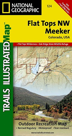
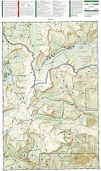
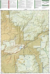 Scale 1:41,000. Size 22"x32". The Flat Tops NW/Meeker Trails Illustrated map is the most comprehensive recreational map for this beautiful area of Colorado. Coverage includes: White River National Forest; Oak Ridge State Wildlife Refuge; Grand Hogback and Rattlesnake Mesa; the cities of Meeker and Buford; the confluence of the North and South forks of the White River; Peltier Lake and Big Beaver Reservoir; Powell Park; Stillwater Valley.
 - $17.95
Item Code : TRAL6404
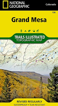
 Scale 1:41,000. Size 22"x32". The Grand Mesa Trails Illustrated map is the most comprehensive recreational map for this popular recreation area of western Colorado. Coverage includes: Grand Mesa National Forest; Vega Reservoir State Recreation Area; Collbran, Flowing Park, Granby and Rapid Creek reservoirs; Cottonwood and Leon lakes; Powderhorn ski area.
 - $17.95
Item Code : TRAL6406
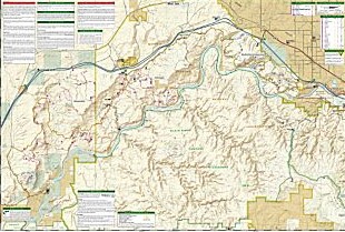
 Scale 1:41,000. Size 22"x32". Coverage includes the Arapaho National Forest, Eagles Nest and Ptarmigan Peak wilderness areas, Heeney, Green Mountain Reservoir, Cataract Lakes and Black Lake, as well as Ute Pass. Includes UTM grids for use with your GPS unit.
 - $17.95
Item Code : TRAL6407
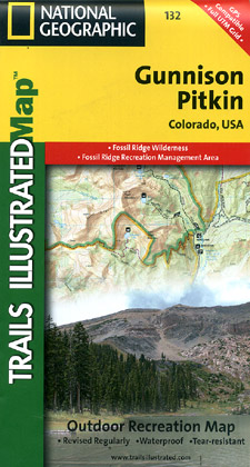
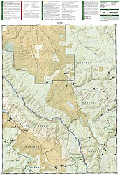
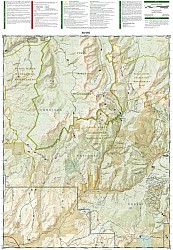 Scale 1:41,000. Size 22"x32". The Gunnison/Pitkin Trails Illustrated map is the most comprehensive recreational map for this beautiful area of Colorado. Coverage includes Gunnison National Forest; the cities of Gunnison, Almont, Pitkin, Ohio, and Parlin; East, Gunnison and Taylor rivers; Gold and Tomichi Creek; Henry Lake; and Gunsight Pass.
 - $16.95
Item Code : NATL20966
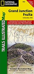
 Scale 1:35,000. Size 26"x38". National Geographic edition. Jam-packed with over 500 miles of single-track and multi-use trails, our new National Geographic Trails Illustrated map for the mountain biking mecca of Grand Junction & Fruita, Colorado is ideal for anyone hitting the trails. Like all Trails Illustrated maps, Grand Junction / Fruita blends detailed topography with carefully researched trail information. Rated mountain biking trails with mileages, recommended rides, and difficulty rating charts make this an ideal planning tool for novice and expert alike. An enhanced scale of 1:35,000 (1” = 0.55 Miles) makes it easy to read elevations and identify the numerous trails throughout the area. Coverage Highlights: Westwater Mesa & Rabbit Valley; Mack Ridge and Kokopelli Loops; Lunch Loops and Bangs Canyon; North Fruita & 18 Road; McInnis Canyons National Conservation Area; Black Ridge Wilderness; Westwater Canyon; Colorado National Monument; Colorado Riverway; Kokopelli and Tabugache Trails; The towns of Grand Junction and Fruita.
 - $12.95
Item Code : SKYT22616
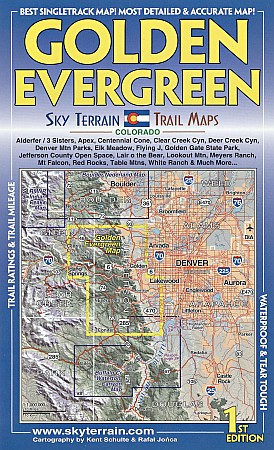
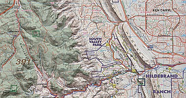 Scale 1:50,000. Sky Terrain edition. This is large country with plenty of good and even great trails for everyone. We used 8 different sets of road and trail data and our own GPS to produce the most accurate, detailed and up to date map of the area. Some of the well known and very nice areas mapped include Alderfer / 3 Sisters, Apex, Centennial Cone, Clear Creek Canyon, Deer Creek Canyon, Denver Mtn Parks, Elk Meadow, Flying J, Golden Gate State Park, Lair o the Bear, Lookout Mtn, Myers Ranch, Mt Falcon, Red Rocks, Table Mtns, White Ranch & Much More...
 - $16.95
Item Code : NATL20942
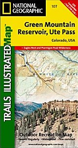
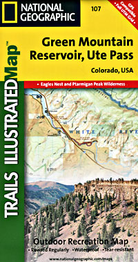
 Scale 1:40,680. Size 22"x32". National Geographic edition. The Green Mountain Reservoir/Ute Pass Trails Illustrated map is the most comprehensive recreational map for this portion of the Arapaho and White Mountain National Forest areas of Colorado. Coverage includes: Arapaho National Forest; Eagles Nest and Ptarmigan Peak wilderness areas; Heeney; Green Mountain Reservoir; Cataract Lakes and Black Lake; Ute Pass.
 - $17.95
Item Code : TRAL6408
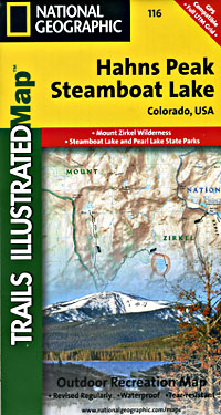
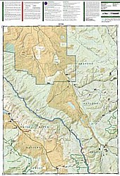
 Scale 1:41,000. Size 22"x32". The Hahns Peak/Steamboat Lake Trails Illustrated map is the most comprehensive recreational map for this stunning area in northern Colorado and covers Routt National Forest, Mt Zirkel Wilderness, Pearl Lake and Steamboat Lake state parks. Also includes the cities of Hahns Peak and Pearl, as well as Steamboat, Big Creek, Boettcher, Gilpin and Bear lakes and the Frying Pan Basin.
 - $17.95
Item Code : TRAL6409
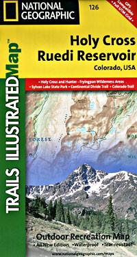
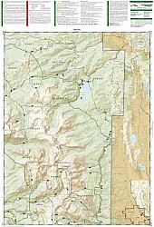
 Scale 1:41,000. Size 22"x32". The Holy Cross/Ruedi Reservoir Trails Illustrated map is the most comprehensive recreational map for this beautiful area in the mountains of Colorado. Coverage includes: White River and San Isabel National Forests; Hunter-Fryingpan and Holy Cross wilderness areas; Sylvan Lake state recreation area; cities of Thomasville and Meredith; Turquoise Lake; Rocky Fork Creek; Ruedi Reservoir; Crooked Creek, Fancy, Hagerman, Half Moon, Fall Creek and Missouri passes; 10th Mountain Huts: Margys Hut, Harry Gates Hut, Peter Estin Hut, Betty Bear Hut, Skinner Hut, Uncle Buds Hut, 10th Mountain Memorial Hut, Notch Mountain Hut.
 - $16.95
Item Code : NATL21063
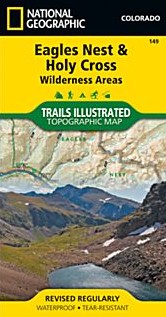
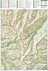
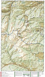
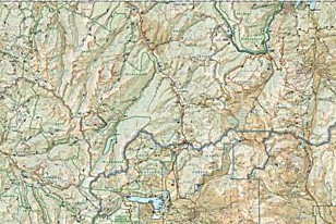 Scale 1:63,360. Size 26"x38". National Geographic edition. National Geographic's Trails Illustrated map of Colorado’s Holy Cross and Eagles Nest Wilderness is a two-sided, waterproof map designed to meet the needs of outdoor enthusiasts with unmatched durability and detail. This map was created in conjunction with local land management agencies and is loaded with valuable recreation information. The front side of Eagles Nest and Holy Cross Wilderness map details the north side of the area, including Arapaho National Forest, White River National Forest, Eagles Nest Wilderness, Ptarmigan Peak Wilderness, and Byers Peak Wilderness. The insets show survival tips, wilderness conduct, and contact information to local National Forests. The reverse side of the map details the south side of the area, including White River National Forest, San Isabel National Forest, Pike National Forest, River National Forest, Hunter Fryingpan Wilderness, and Mount Massive Wilderness.
 - $17.95
Item Code : TRAL6410

 Scale 1:41,000. Size 22"x32". The most comprehensive recreational map for: Arapaho and Pike National Forests; Mount Evans Wilderness; Idaho Springs, Georgetown, Montezuma, Keystone, Clear Creek, Chicago Lakes, and Summit Lake; 14ers: Mt. Evans, Mt. Bierstadt, Grays and Torreys peak; Loveland, Webster, Juniper and Guanella passes; Ski Areas: Arapaho Basin, Loveland and Keystone.
 - $17.95
Item Code : TRAL6411
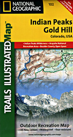
 Scale 1:41,000. Size 22"x32". The Indian Peaks/Gold Hill Trails Illustrated map is the most comprehensive recreational map for the southern gateway forests and wilderness areas surrounding Rocky Mountain National Park in Colorado. Coverage includes Roosevelt and Arapaho national forests, Indian Peaks Wilderness, Arapaho National Recreation Area, Devils Thumb cross-country ski area, Tabernash, Fraser, Nederland, Eldora, Ward, Peaceful Valley, Lake Granby, Barker and Beaver reservoirs, Pawnee, Arapaho and Rollins passes.
|
Colorado Recreation Areas |
