
California City Maps S to Z | Detailed Travel Tourist Street
Exploring California through city maps- San Francisco to Z.
The most populous state of the powerful country U.S., California is the most culturally diverse area of U.S. It is the third largest state of U.S. in terms of area and has beautiful forests and beaches.
California, due to its mesmerizing beauty, has always been the favorite tourist place for people across the globe. Moat area of this state has the Mediterranean climate. However, people find it amusing as there are beaches to chill out in summers and forests to enjoy winters.
Apart from this, California is also rich in infrastructure. It has the Hollywood entertainment industry in Los Angeles and the popular Golden Gate Bridge in San Francisco. San Francisco is the hilly area of California. It is one of the most beautiful counties of California.
California has many counties, cities and towns, one of them being San Francisco. It is named after St. Francis of Assisi.
San Francisco is said to be the cultural, financial and commercial center of northern California. It is the most popular tourist places in California because of its extremely cool weather and rich habitat. San Francisco is known by various names such as San Fran, Fog city, The city of Bay, The Paris of West and many more.
The tourism for San Francisco is open through out the year due to its leasing environment. Only concern for the people is the fog in the city because this city can be really foggy during some times of the year. It is highly recommended to hire guides while visiting San Fran because there are many astonishing places that are not much popular but you will be stunned after visiting them. City maps also help here. The maps have all guide lines and all land marks marked so that you miss none of them.
California City Street Maps for Tourists and TravelersDetailed Road Map of California Cities (S to Z)Buy travel maps for California City tourist attractions, road trips, street guide, driving directions and more |
California City Maps, San Francisco to Z
- $10.95
Item Code : RAND5911
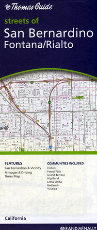
 Scale 1:34,000. Size 28"x40". Rand McNally edition.
 - $10.95
Item Code : RAND5912
 Scale 1:35,000. Size 28"x40". Rand McNally edition.
 - $10.95
Item Code : RAND5914
 Scale 1:29,000. Size 28"x40". Rand McNally edition.
 - $10.95
Item Code : RAND5915
 Scale 1:34,000. Size 28"x40". Rand McNally edition.
 - $10.95
Item Code : RAND5917
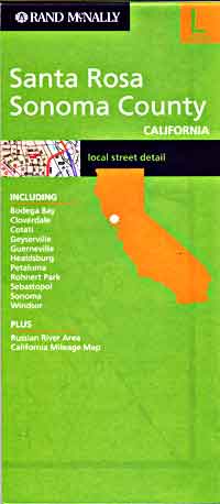
 Scale 1:33,000. Size 26"x37". Rand McNally edition. Also includes Bodega Bay, Geyserville, Sebastopol.
 - $10.95
Item Code : AMER5918
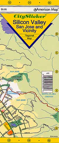
 Scale 1:85,000. Size 10"x21". Laminated. American Map Company edition.
 - $10.95
Item Code : RAND5919
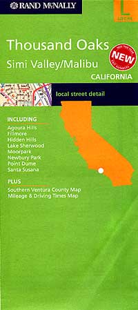
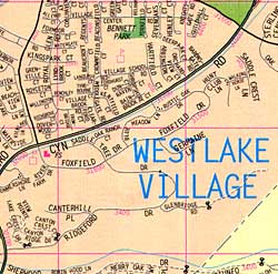 Scale 1:34,000. Size 28"x40". Rand McNally edition. Also includes the Agoura Hills, Fillmore, Hidden Hills, Lake Sherwood, Moorpark, Newbury Park, Point Dume, Santa Susana, Westlake Village, Southern Ventura County, and more.
 - $10.95
Item Code : RAND5920
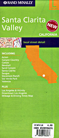
 Scale 1:32,000. Size 28"x40". Rand McNally edition.
 - $12.95
Item Code : GMJO22568
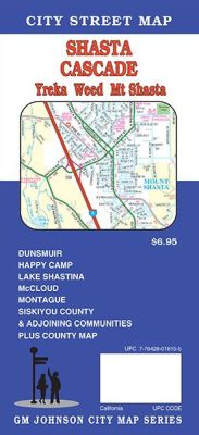
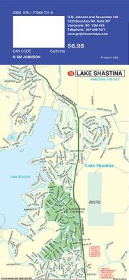 Scale 1:32,000. Size 27"x20". G.M. Johnson edition. This Map Coverage Area Cascade, Yreka, Weed, and Mt. Shasta. Dunsmuir, Happy Camp, Lake Shastina, McCloud, Montague, Siskiyou County.
 - $12.95
Item Code : GMJO22571
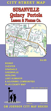
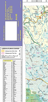 Scale 1:32,000. Size 27"x20". G.M. Johnson edition. This Map Coverage Area are Bieber, Chester, Greenville, Herlong, Lake Almanor, Graeagle.
 - $10.95
Item Code : AMER5889
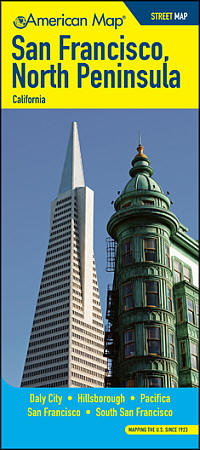 Scale 1:25,000. Size 27"x39". American Map Company edition. The San Francisco / North Peninsula, CA Street map covers Daly City, Hillsborough, Pacifica, San Francisco, and South San Francisco. It also includes a listing of parks, beaches, campsites, picnic areas, schools, libraries, post offices, zip codes, points of interest, and more.
 - $249.95 + $24.80 p&h (add $40 for spring rollers)
Item Code : UNIV5895
Scale 1:6,667. Size 54" W x 64" H. Laminated. Printed in color with a markable and washable laminated surface. Cities are indexed on the face of the map. Details include major streets and all highways, ZIP codes and boundaries, latitude and longitude lines, county lines and names, parks, golf courses, amusement centers and stadiums, water features, government buildings and federal penitentiaries, military institutions and airports, hospitals and cemeteries, and mileage circles. Coverage includes: North: Petaluma and Fairfield; South: to Los Gatos and Saratoga; East: Includes Brentwood and Livermore; West: to the Pacific Ocean. Railed wall maps can be turned into pull down maps on spring rollers for an additional $30. - $10.95
Item Code : AMER5909
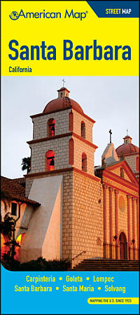 Size 27"x39". American Map Company edition. The Santa Barbara Street Map covers Carpinteria, Goleta, Lompoc, Santa Barbara, Santa Maria, and Solvang. It also includes a listing of parks, beaches, campsites, picnic areas, schools, libraries, post offices, zip codes, points of interest, and more.
 - $36.95 + $7.50 p&h or $28.50 foreign delivery
Item Code : AMER5910
 Size 8?"x11". 228 pages. American Map Company edition. The Santa Barbara/Ventura Street Atlas covers Camarillo, Lompoc, Los Angeles, Moorpark, Oxnard, Santa Barbara, Santa Maria, Simi Valley, Thousand Oaks, and Ventura. It includes a 14 page large-scale city section, as well as parks, beaches, campsites, picnic areas, schools, libraries, post offices, zip codes, points of interest, and more.
 - $10.95
Item Code : AMER5916
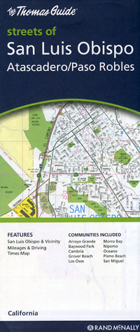
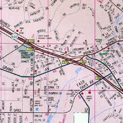
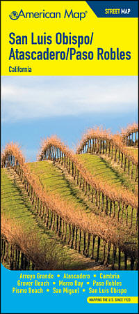 Size 27"x39". American Map Company edition. The San Luis Obispo/Atascadero/Paso Robles Street Map covers Arroyo Grande, Atascadero, Cambria, Grover Beach, Morro Bay, Paso Robles, Pismo Beach, San Miguel, and San Luis Obispo. It also includes a listing of parks, beaches, campsites, picnic areas, schools, libraries, post offices, zip codes, points of interest, and more.
 - $14.95
Item Code : GMJO22566
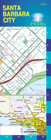
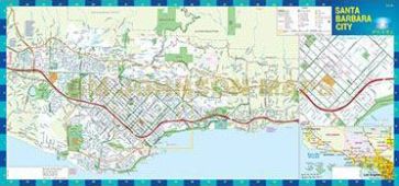 Scale 1:32,000. Size 11"x24". G.M. Johnson edition. Our city pearl maps series are laminated, durable and easy to fold. A detailed and up to date map.
 - $14.95
Item Code : GMJO22567

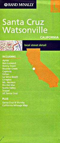
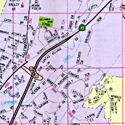
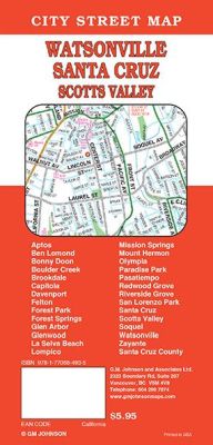 Scale 1:32,000. Size 27"x39". G.M. Johnson edition. An up to date and detailed city street map of Santa Cruz, CA. Also covers en Lomond, Bonny Doon, Brookdale, Capitola, Felton, Forest Park, Forest Springs, Glen Arbor, Glenwood, La Selva Beach, Lompico, Mission Springs, Mount Hermon, Olympia, Paradise Park, Pasatiempo, Redwood Grove, Riverside Grove, San Lorenzo Park, Santa Cruz, Zayante, Aptos, Boulder Creek, Scotts Valley, Soquel, Watsonville, Davenport, Santa Cruz County.
 - $14.95
Item Code : GMJO22570

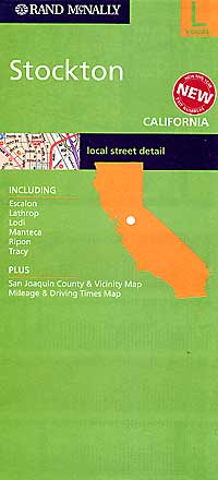
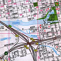
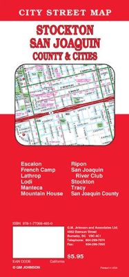 Scale 1:36,000. Size 27"x39". G.M. Johnson edition. This Map Coverage Area are Clements, Collierville, Escalon, French Camp, Lathrop, Linden, Lockeford, Lodi, Manteca, Mountain House, Ripon, San Joaquin, River Club, Stockton, Thornton, Tracy, Victor, San Joaquin County.
 - $10.95
Item Code : KING5906
King of the Road edition. -
| Postage and handling is $4.40 for the first map and $1.80 for each additional map. ~ ~ ~ ~ ~ ~ Foreign delivery is $15.80 for the first map and $7.60 for each additional map. ~ ~ ~ ~ ~ ~ Canada delivery is $15.80 for the first map and $7.60 for each additional map. |
| Postage and handling is $4.40 for the first map and $1.80 for each additional map. ~ ~ ~ ~ ~ ~ Foreign delivery is $15.80 for the first map and $7.60 for each additional map. ~ ~ ~ ~ ~ ~ Canada delivery is $15.80 for the first map and $7.60 for each additional map. |
Exploring California through city maps- San Francisco to Z.
The most populous state of the powerful country U.S., California is the most culturally diverse area of U.S. It is the third largest state of U.S. in terms of area and has beautiful forests and beaches.
California, due to its mesmerizing beauty, has always been the favorite tourist place for people across the globe. Moat area of this state has the Mediterranean climate. However, people find it amusing as there are beaches to chill out in summers and forests to enjoy winters.
Apart from this, California is also rich in infrastructure. It has the Hollywood entertainment industry in Los Angeles and the popular Golden Gate Bridge in San Francisco. San Francisco is the hilly area of California. It is one of the most beautiful counties of California.
California has many counties, cities and towns, one of them being San Francisco. It is named after St. Francis of Assisi.
San Francisco is said to be the cultural, financial and commercial center of northern California. It is the most popular tourist places in California because of its extremely cool weather and rich habitat. San Francisco is known by various names such as San Fran, Fog city, The city of Bay, The Paris of West and many more.
The tourism for San Francisco is open through out the year due to its leasing environment. Only concern for the people is the fog in the city because this city can be really foggy during some times of the year. It is highly recommended to hire guides while visiting San Fran because there are many astonishing places that are not much popular but you will be stunned after visiting them. City maps also help here. The maps have all guide lines and all land marks marked so that you miss none of them.
California City Street Maps for Tourists and TravelersDetailed Road Map of California Cities (S to Z)Buy travel maps for California City tourist attractions, road trips, street guide, driving directions and more |
