
California City Maps M to R | Detailed Travel Tourist Street
Exploring California through city maps- M to San Diego.
The third largest state of U.S. California is a house of huge cultural diversities. It is one of the most astonishing places of united states and its beauty and cultural diversity leave people stunned.
The state has an area of about 163,696 sq mi and due to such large area, the climate varies a lot. California has a total 58 counties which can be termed as both cities and towns because Californian law makes no distinction between city and a town.
From ancient times, California has only seen growth. Its movie industry in Los Angeles has been attracting people from all over the world. It also has one of the most popular universities of the world, The Stanford University. The world famous high tech silicon valley is also in California. This proves the richness of California in terms of infrastructure but this surely does not end here. California has a lot of beautiful places, landscapes, rivers and mountainous regions.
California is divided into various regions such as central, northern, eastern, coastal, southern, inland, imperial etc. There are many famous cities such as Modesto, Nevada, Sacramento(capital), San Francisco, Woodland etc.
However, the immigration rate has dropped down because of lack of job opportunities for unskilled workers. It has 72.9% of white population and western culture is followed there. California has a really large economy when compared to other large countries.
Inspite of such wide culture and area, the maps covers all of the areas with minute details. The California city maps clearly show the orientation and geography. The topography of California can be studied easily with the help of these maps.
Complete directions with compass directions and latitudes and longitudes is stated to make the traveling in California easy.
California City Street Maps for Tourists and TravelersDetailed Road Map of California Cities (M to S)Buy travel maps for California City tourist attractions, road trips, street guide, driving directions and more |
California City Maps, M to San Diego
- $10.95
Item Code : KING5834
King of the Road edition -
- $11.95
Item Code : AMER5838
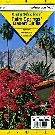
 Scale 1:32,000. Size 21"x25". American Map Company edition. Laminated. This Palm Springs / Desert Cities Slicker shows highways, major roads, and attractions, as well as detailed inset maps of places of interest in the Palm Springs and Desert Cities areas.
 - $10.95
Item Code : MEAS5840

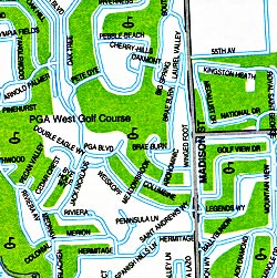
 "various scales". Size 17"x18". Map Easy edition. Perfect for the intrepid or armchair traveller, this charming map combines the best of a guidebook and a location map, all in one. The map is color coded to include information about the city's hotels, restaurants, shops, and sites. Printed on tear-proof, water-resistant, lightweight, paper-like plastic, that is incredibly durable. Also includes sketches of the landscape and interesting details about the area. You'll love this map!
 - $10.95
Item Code : RAND5842

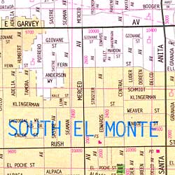 Scale 1:35,000. Size 28"x40". Rand McNally edition. Also includes Alhambra, Arcadia, Baldwin Park, City of Commerce, City of Industry, Downey, East Los Angeles, El Monte, Hacienda Heights, La Habra Heights, La Puente, Monrovia, Montebello, Monterey Park, Pico Rivera, Rosemead, San Gabriel, Santa Fe Springs, South El Monte, South Pasadena, South San Gabriel, and Temple City.
 - $10.95
Item Code : RAND5844
 Scale 1:34,000. Size 28"x40". Rand McNally edition.
 - $10.95
Item Code : RAND5847
 Scale 1:35,000. Size 27"x39". Rand McNally edition.
 - $10.95
Item Code : AMER5848
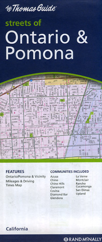
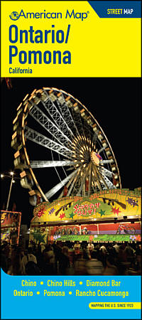 Scale 1:31,000. Size 27"x39". American Map Company edition. The Ontario/Pomona Street Map covers Chino, Chino Hills, Diamond Bar, Ontario, Pomona, and Rancho Cucamonga. It also includes a listing of parks, beaches, campsites, picnic areas, schools, libraries, post offices, zip codes, points of interest, and more.
 - $10.95
Item Code : KING5843
Pasadena and the San Gabriel Valley (part of the San Diego Metropolitan Area), California, America -
- $12.95
Item Code : GMJO22549
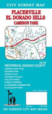
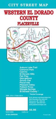 Scale 1:39,000. Size 27"x39". G.M. Johnson edition. This Map Coverage Area are Auburn Lake Trail, Cameron Park, Camino, El Dorado Hills, Fair Play, Georgetown, Grizzly Flat, Placerville, Pleasant Valley, Pollock Pines, Shingle Springs, El Dorado County*, * Partial Coverage.
 - $10.95
Item Code : RFUS22521
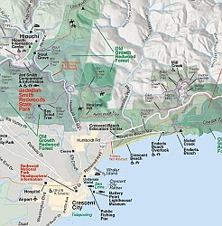 Rufus Graphics. The front side includes a detailed map of both the Redwoods National Park and the Redwoods State Park, showing trails, campgrounds, points of interest, etc. The reverse has extensive text and photos to aid the visitor in getting the most out of their visit to see these spectacular trees.
 - $10.95
Item Code : AMER5852
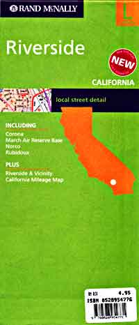
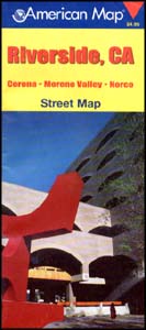 Scale 1:33,000. Size 27"x39". American Map Company edition. The Riverside, CA Street Map shows parks, golf courses, schools, airports, shopping centers and points of interest. It covers Corona, Moreno Valley, and Norco, and contains a full street index.
 - $36.95 + $7.50 p&h or $28.50 foreign delivery
Item Code : AMER5854
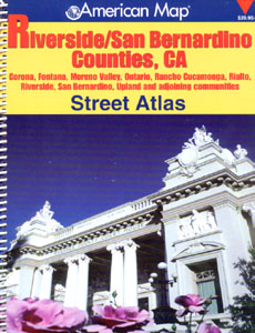 Size 8?"x11". 243 pages. American Map Company edition. The Riverside/ San Bernardino Counties, CA Atlas shows schools, hospitals, golf courses, shopping centers, cemeteries, parks, and wineries, and provides accurate, street-level detail. Areas included on this map are Corona, Fontana, Moreno Valley, Ontario, Rancho Cucamonga, Rialto, Riverside, San Bernardino, Upland and adjoining communities.
 - $14.95
Item Code : GMJO5849
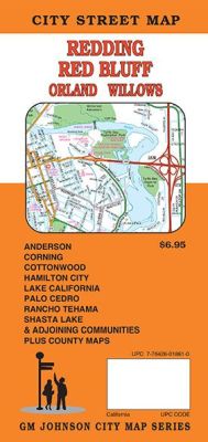
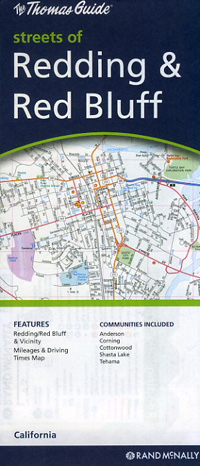
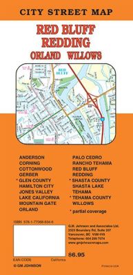 Scale 1:39,000. Size 27"x39". G.M. Johnson edition. This Map Coverage Area are Anderson, Burney, Cottonwood, Corning, Palo Cedro, Gerber, Mountain Gate, Lake California, Rancho Tehama, Red Bluff, Redding, Shasta Lake, Sherman, Tehama, Shasta County, Tehama County.
 - $10.95
Item Code : RAND5850
 Scale 1:34,000. Size 28"x40". Rand McNally edition.
 - $10.95
Item Code : RAND5851
 Scale 1:35,000. Size 27"x39". Rand McNally edition.
 - $23.95 + $7.50 p&h or $28.50 foreign delivery
Item Code : AMER5853
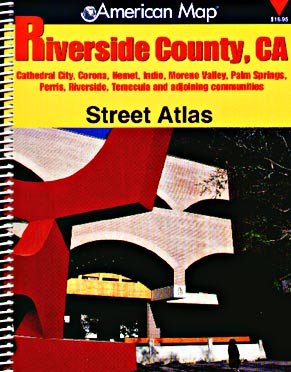
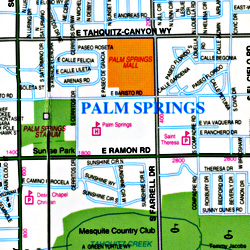
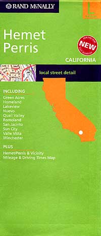
 Scale 1:27,000. Size 8?"x11". 231 pages. American Map Company edition. The Riverside County, CA Street Atlas gives detailed coverage of Cathedral City, Corona, Hemet, Indio, Moreno Valley, Palm Springs, Perris, Riverside, Temecula and adjoining communities. This atlas contains a comprehensive index, and indicates parks, schools, hospitals, airports, golf courses, shopping centers, cemeteries, wineries and vineyards.
 - $12.95
Item Code : GMJO22551
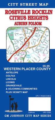
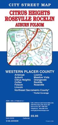 Scale 1:36,000. Size 27"x39". G.M. Johnson edition. This Map Coverage Area are Antelope, Auburn, Citrus Heights, Colfax, Folsom, Lincoln, Loomis, Meadow Vista, Orangevale, Rocklin, Roseville, Northeast Sacramento County*, * Partial Coverage.
 - $10.95
Item Code : UNIV22553
Size 26"x36". Universal Map edition. This full-color street map of Sacramento, CA includes: Florin, Parkway, Rio Linda, and West Sacramento; and features: Airports, Block Numbers, Colleges and Universities, Golf Courses, Hospitals, Parks and Rec Areas, Places of Interest, Schools, and ZIP Codes.
| Postage and handling is $4.40 for the first map and $1.80 for each additional map. ~ ~ ~ ~ ~ ~ Foreign delivery is $15.80 for the first map and $7.60 for each additional map. ~ ~ ~ ~ ~ ~ Canada delivery is $15.80 for the first map and $7.60 for each additional map. |
| Postage and handling is $4.40 for the first map and $1.80 for each additional map. ~ ~ ~ ~ ~ ~ Foreign delivery is $15.80 for the first map and $7.60 for each additional map. ~ ~ ~ ~ ~ ~ Canada delivery is $15.80 for the first map and $7.60 for each additional map. |
Exploring California through city maps- M to San Diego.
The third largest state of U.S. California is a house of huge cultural diversities. It is one of the most astonishing places of united states and its beauty and cultural diversity leave people stunned.
The state has an area of about 163,696 sq mi and due to such large area, the climate varies a lot. California has a total 58 counties which can be termed as both cities and towns because Californian law makes no distinction between city and a town.
From ancient times, California has only seen growth. Its movie industry in Los Angeles has been attracting people from all over the world. It also has one of the most popular universities of the world, The Stanford University. The world famous high tech silicon valley is also in California. This proves the richness of California in terms of infrastructure but this surely does not end here. California has a lot of beautiful places, landscapes, rivers and mountainous regions.
California is divided into various regions such as central, northern, eastern, coastal, southern, inland, imperial etc. There are many famous cities such as Modesto, Nevada, Sacramento(capital), San Francisco, Woodland etc.
However, the immigration rate has dropped down because of lack of job opportunities for unskilled workers. It has 72.9% of white population and western culture is followed there. California has a really large economy when compared to other large countries.
Inspite of such wide culture and area, the maps covers all of the areas with minute details. The California city maps clearly show the orientation and geography. The topography of California can be studied easily with the help of these maps.
Complete directions with compass directions and latitudes and longitudes is stated to make the traveling in California easy.
California City Street Maps for Tourists and TravelersDetailed Road Map of California Cities (M to S)Buy travel maps for California City tourist attractions, road trips, street guide, driving directions and more |
