
California City Maps A to L | Detailed Travel Tourist Street
Exploring California through city maps- A to L.
California, which is a western U.S. state is the most populous state of the nation. It is the third largest in terms of area with an approximate area of 900 miles. It is located on the Mexican border and western Pacific Ocean.
The capital of California is Sacramento with a population of about 2,70,000. California has numerous cities and towns with 482 municipalities and 58 counties. Some of the most popular and beautiful town of U.S. are in California only. The largest city of California is Los Angeles.
Along with such a huge number of cities, California also has a diverse geography. As mentioned, it has Pacific Ocean to the west and Sierra Nevada mountain range to its east. It has central valley which is the major agricultural area of U.S. In terms of ecology, California has some of the endangered species of flora and fauna.
With such huge number of counties and municipalities in California, it is impossible to know about them or visit all of them. Numerous articles are being published about California regarding its rich culture and diversity. Cities like Alturas, Auburn, Bakersfield, El centro, Eureka, Hanford, Jackson and Los Angeles are the most popular cities if taken from A to L.
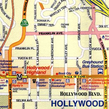
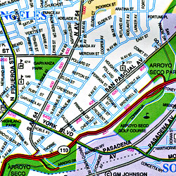
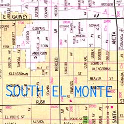
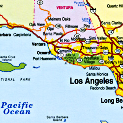
To do justice to the rich culture and ecology of California, one should visit all the renowned places including tourist places. Californian city maps come to the rescue at this point. These city maps depict all the routes and paths with all the landmarks so that it becomes easy to travel and explore.
California has a lot more in it than just this. The topic will never come to an end. Having known all this, no wonder that California is the first choice of tourists from all over the world.
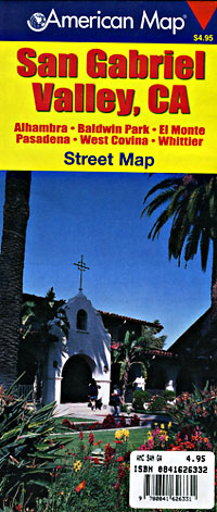
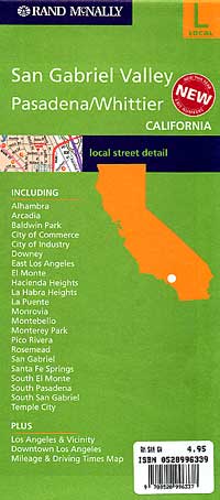
California City Street Maps for Tourists and TravelersDetailed Road Map of California Cities (A to L)Buy travel maps for California City tourist attractions, road trips, street guide, driving directions and more |
California City Maps, A to L
- $10.95
Item Code : KING5772
King of the Road edition. Detailed city street map. - $10.95
Item Code : KING5779
King of the Road edition - $10.95
Item Code : RAND5778
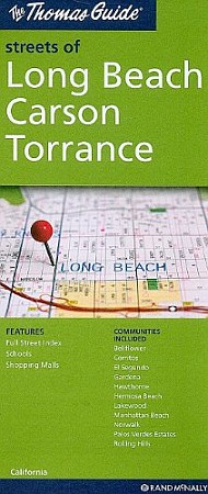
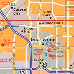
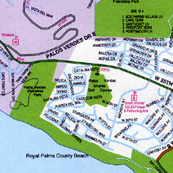
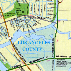
 Scale 1:34,000. Size 28"x39". Rand McNally edition. Includes El Segundo, Gardena, Hawthorne, Manhattan Beach, Redondo Beach, Compton, Miraleste, Palos Verdes Estates, Rancho Palos Verdes, Rolling Hills, and Rolling Hills Estates.
 - $12.95
Item Code : ROUG5780
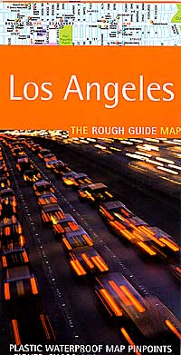
 Scale 1:33,000. Size 20"x28". Rough Guide edition. Printed on tear-resistant, waterproof, lightweight, paper-like plastic. English text and legends. Rugged and convenient. Los Angeles street map
 - $17.95
Item Code : BORC5781
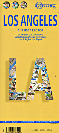
 Scale 1:17,000. Size 20"x26". "Borch edition". Indexed. Printed on both sides. English and multilingual legends. Laminated, water proof, easy-fold, flexi-map. Los Angeles street map
 - $10.95
Item Code : RAND5782
 Scale 1:34,000. Size 28"x40". Rand McNally edition. Los Angeles street map
 - $14.95
Item Code : GMJO2850
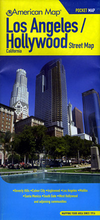
 Scale 1:45,000. Size 27"x39". G.M. Johnson edition. This Map Coverage Area are Los Angeles / Hollywood, California.
 - $17.95
Item Code : ITMB5783
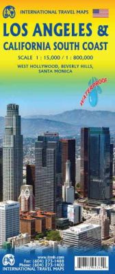
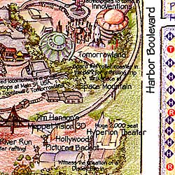
 Scale 1:15,000. Size 27"x39". International Travel Maps edition. Indexed. This updated version of one of America's great urban areas adds a brand new feature, the city's Top Attractions. Universal and Paramount Studios top the list, but the Hollywood Walk of Fame is probably more visited than any other sidewalk on the planet. The Santa Monica Pier and its nearby Route 66 information office are great attractions, as is Sunset Boulevard. The reverse side of the sheet covers southern California from the Mexican border north to San Francisco and east to Palm Springs noting, as usual, touristic sites such as the routes followed by Route 66, the Big Sur drive along the coast, Yosemite, and all the north-south highways from Tijuana to Sacramento. By using this one map, the buyer covers everything he'd want to see in LA and also has a map that covers driving routes for hundreds of miles.
 - $16.95
Item Code : NATL5784
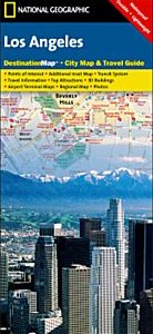
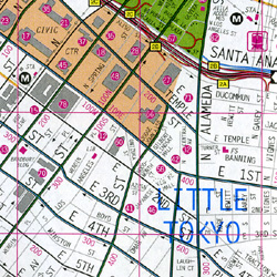
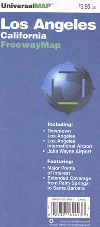
 Scale 1:204,000. Size 18"x25". National Geographic edition. Los Angeles street map. Exploring Los Angeles is as easy as unfolding this sturdy, laminated map. The front features a large-scale city map that highlights tourist and business travel locations with 3-D styled drawings. The back includes: Regional map; Points of interest; Inset maps of Downtown Los Angeles, Long Beach, Anaheim, and the Westside; Los Angeles International Airport and John Wayne (Orange County) Airport diagrams; Multi-language legend.
 - $10.95
Item Code : AMER5787
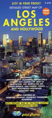
 Scale 1:33,000. Size 27"x40". American Map Company edition. Large Scale Pocket Map with Street Level detail of Los Angeles and Hollywood.
 - $10.95
Item Code : MEAS5789
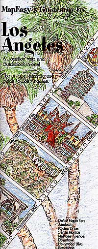
 "various scales". Size 18"x27". Map Easy edition. Perfect for the intrepid or armchair traveller, this charming map combines the best of a guidebook and a location map, all in one. The map is color coded to include information about the city's hotels, restaurants, shops, and sites. Printed on tear-proof, water-resistant, lightweight, paper-like plastic, that is incredibly durable. Also includes sketches of the landscape and interesting details about the area. You'll love this map! Los Angeles street map
 - $24.95 + $7.50 p&h or $28.50 foreign delivery
Item Code : AMER5790
 Scale 1:27,000. Size 8?"x11". 323 pages. American Map Company edition.
 - $39.95 + $8.50 p&h or $34.50 foreign delivery
Item Code : AMER5791
 Scale 1:28,000. Size 8?"x11". 474 pages. American Map Company edition.
 - $10.95
Item Code : CMEN5792

 Size 18"x24". Carol Mendel edition.
 - $10.95
Item Code : AMER5793
 Scale 1:31,000. Size 27"x39". American Map Company edition.
 - $10.95
Item Code : AMER5794
 Scale 1:31,000. Size 27"x39". American Map Company edition.
 - $10.95
Item Code : RAND5795
 Scale 1:35,000. Size 28"x40". Rand McNally edition.
 - $10.95
Item Code : UNIV5796
 Size 24"x36". Universal Map edition.
 - $10.95
Item Code : AMER5797
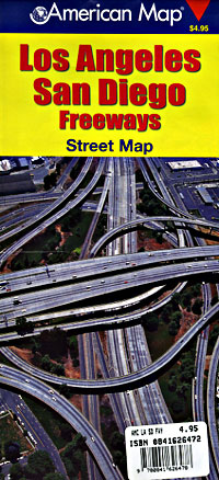
 Scale 1:160,000. Size 27"x39". American Map Company edition. This Los Angeles & San Diego Freeway Street Map indicates parks, golf courses, airports, schools, shopping centers, and points of interest, and contains a full street index. Inset maps of major areas provide additional detail.
 - $12.95
Item Code : AMER5798
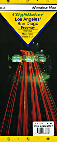
 Scale 1:220,000. Size 20"x25". American Map Company edition. City Slicker. Laminated.
| Postage and handling is $4.40 for the first map and $1.80 for each additional map. ~ ~ ~ ~ ~ ~ Foreign delivery is $15.80 for the first map and $7.60 for each additional map. ~ ~ ~ ~ ~ ~ Canada delivery is $15.80 for the first map and $7.60 for each additional map. |
Exploring California through city maps- A to L.
California, which is a western U.S. state is the most populous state of the nation. It is the third largest in terms of area with an approximate area of 900 miles. It is located on the Mexican border and western Pacific Ocean.
The capital of California is Sacramento with a population of about 2,70,000. California has numerous cities and towns with 482 municipalities and 58 counties. Some of the most popular and beautiful town of U.S. are in California only. The largest city of California is Los Angeles.
Along with such a huge number of cities, California also has a diverse geography. As mentioned, it has Pacific Ocean to the west and Sierra Nevada mountain range to its east. It has central valley which is the major agricultural area of U.S. In terms of ecology, California has some of the endangered species of flora and fauna.
With such huge number of counties and municipalities in California, it is impossible to know about them or visit all of them. Numerous articles are being published about California regarding its rich culture and diversity. Cities like Alturas, Auburn, Bakersfield, El centro, Eureka, Hanford, Jackson and Los Angeles are the most popular cities if taken from A to L.
To do justice to the rich culture and ecology of California, one should visit all the renowned places including tourist places. Californian city maps come to the rescue at this point. These city maps depict all the routes and paths with all the landmarks so that it becomes easy to travel and explore.
California has a lot more in it than just this. The topic will never come to an end. Having known all this, no wonder that California is the first choice of tourists from all over the world.
California City Street Maps for Tourists and TravelersDetailed Road Map of California Cities (A to L)Buy travel maps for California City tourist attractions, road trips, street guide, driving directions and more |
