
California City Maps A to L | Detailed Travel Tourist Street
Exploring California through city maps- A to L.
California, which is a western U.S. state is the most populous state of the nation. It is the third largest in terms of area with an approximate area of 900 miles. It is located on the Mexican border and western Pacific Ocean.
The capital of California is Sacramento with a population of about 2,70,000. California has numerous cities and towns with 482 municipalities and 58 counties. Some of the most popular and beautiful town of U.S. are in California only. The largest city of California is Los Angeles.
Along with such a huge number of cities, California also has a diverse geography. As mentioned, it has Pacific Ocean to the west and Sierra Nevada mountain range to its east. It has central valley which is the major agricultural area of U.S. In terms of ecology, California has some of the endangered species of flora and fauna.
With such huge number of counties and municipalities in California, it is impossible to know about them or visit all of them. Numerous articles are being published about California regarding its rich culture and diversity. Cities like Alturas, Auburn, Bakersfield, El centro, Eureka, Hanford, Jackson and Los Angeles are the most popular cities if taken from A to L.
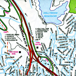
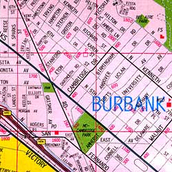
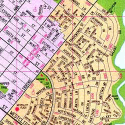
To do justice to the rich culture and ecology of California, one should visit all the renowned places including tourist places. Californian city maps come to the rescue at this point. These city maps depict all the routes and paths with all the landmarks so that it becomes easy to travel and explore.
California has a lot more in it than just this. The topic will never come to an end. Having known all this, no wonder that California is the first choice of tourists from all over the world.
California City Street Maps for Tourists and TravelersDetailed Road Map of California Cities (A to L)Buy travel maps for California City tourist attractions, road trips, street guide, driving directions and more |
California City Maps, A to L
- $12.95
Item Code : GMJO22533
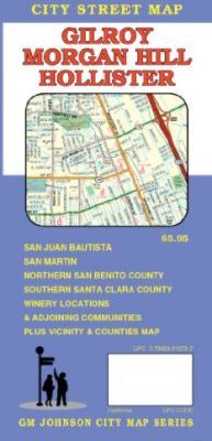
 Scale 1:32,000. G.M. Johnson edition. This Map Coverage Areas are Brownell, Saint, Marys, El Roble, South Valley, Morgan Hill, Winery Locations, Gilroy, Hollister, San Juan Bautista, Northern San Benito County, Southern Santa Clara County.
 - $10.95
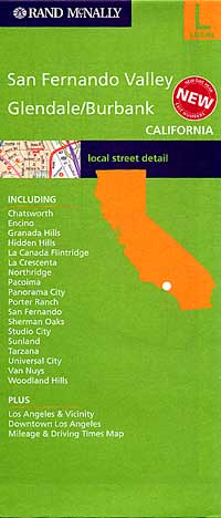
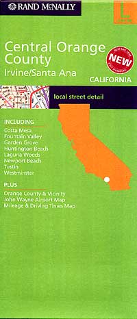
Item Code : RAND5758
 Scale 1:36,000. Size 25?"x37". Rand McNally edition.
 - $10.95
Item Code : AMER5759
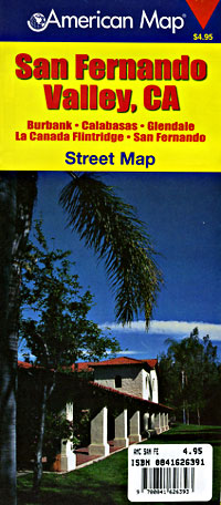
 Scale 1:31,000. Size 27"x39". American Map Company edition.
 - $10.95
Item Code : RAND5760
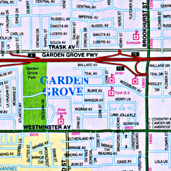
 Scale 1:34,000. Size 28"x39". Rand McNally edition.
 - $14.95
Item Code : GMJO5762
 Scale 1:32,000. Size 28"x40". G.M. Johnson edition.
 - $10.95
Item Code : RAND5763
Scale 1:28,500. Size 18"x26?". Rand McNally edition. - $10.95
Item Code : RAND5764
 Scale 1:34,000. Size 28"x40". Rand McNally edition.
 - $10.95
Item Code : RAND5766
 Scale 1:37,000. Size 28"x40". Rand McNally edition.
 - $10.95
Item Code : KING5765
King of the Road edition. - $10.95
Item Code : RAND5767

 Scale 1:34,000. Size 28"x40". Rand McNally edition.
 - $10.95
Item Code : AMER5769
 Scale 1:32,000. Size 27"x39". American Map Company edition.
 -
- $10.95
Item Code : RFUS22517
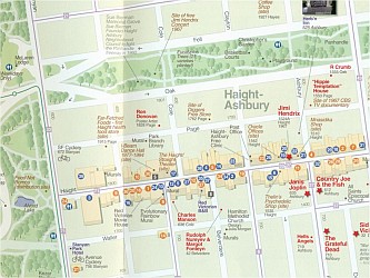 Rufus Graphics. This detailed pocket guide and map includes the history of the Haight: the 60's, the music scene, the Spirit of the Haight, where famous people lived and played, and where to shop, eat, enjoy, and sightsee today.
 - $10.95
Item Code : RFUS22516
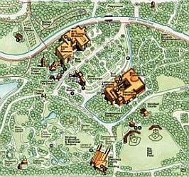 Rufus Graphics. A detailed map of this wonderful park in the middle of San Francisco - the equivalent to NYC's Central Park. The map shows the trails for walking, hiking, cycling, and horseback riding. Includes the locations of the museums, statuary, and other points of interest. The only map you'll need for a visit to this spectacular park.
 - $10.95
Item Code : RAND5770
 Scale 1:34,000. Size 28"x39". Rand McNally edition.
 - $14.95
Item Code : GMJO5773
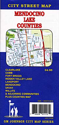
 Scale 1:32,000. Size 27"x39". G.M. Johnson edition. Includes detailed city street plans of Clearlake, Cobb, Fort Bragg, Hidden Valley Lake, Lakeport, Mendocino, Ukiah, Willits and adjoining communities.
 - $10.95
Item Code : RAND5774
 Scale 1:34,000. Size 28"x40". Rand McNally edition.
 - $14.95
Item Code : GMJO5775
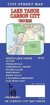
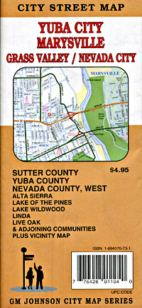
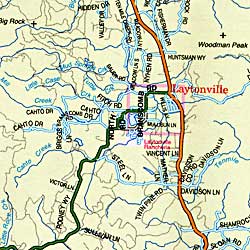
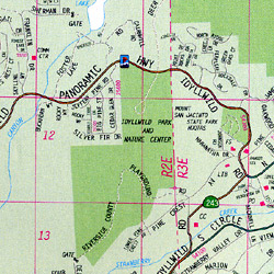
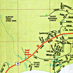
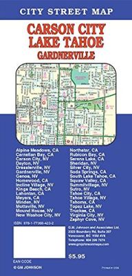 "various scales". Size 27"x39". G.M. Johnson edition. This folded map is a full color and easy to read street map of Lake Tahoe, Carson City and Truckee. Also included are South Lake Tahoe, Dayton, Dresslerville, Gardenerville / Minden, Incline Village, Kings Beach, Squaw Valley and adjoining communities and vicinity map. Produced with the latest computer mapping technology, this map is accurate and current. Includes an easy to use index listing all streets and selected features which contains schools, parks, shopping centers, golf courses, city boundaries and other useful information.
 - $10.95
Item Code : RAND5776
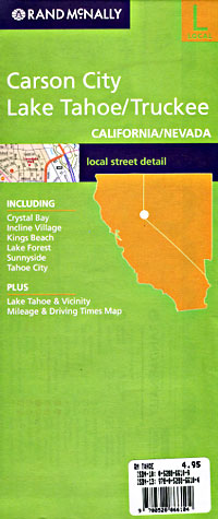
 "various scales". Size 28"x40". Rand McNally edition.
 - $12.95
Item Code : GMJO2789
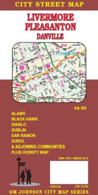
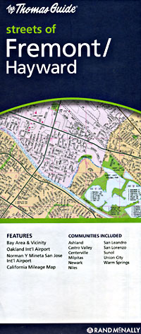
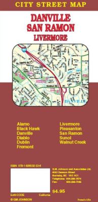 Scale 1:24,000. Size 27"x39". G.M. Johnson edition. This Map Coverage Area are Alamo, Black Hawk, Danville, Diablo, Dublin, Fremont, Livermore, Pleasanton, San Ramon, Sunol, Walnut Creek.
| Postage and handling is $4.40 for the first map and $1.80 for each additional map. ~ ~ ~ ~ ~ ~ Foreign delivery is $15.80 for the first map and $7.60 for each additional map. ~ ~ ~ ~ ~ ~ Canada delivery is $15.80 for the first map and $7.60 for each additional map. |
Exploring California through city maps- A to L.
California, which is a western U.S. state is the most populous state of the nation. It is the third largest in terms of area with an approximate area of 900 miles. It is located on the Mexican border and western Pacific Ocean.
The capital of California is Sacramento with a population of about 2,70,000. California has numerous cities and towns with 482 municipalities and 58 counties. Some of the most popular and beautiful town of U.S. are in California only. The largest city of California is Los Angeles.
Along with such a huge number of cities, California also has a diverse geography. As mentioned, it has Pacific Ocean to the west and Sierra Nevada mountain range to its east. It has central valley which is the major agricultural area of U.S. In terms of ecology, California has some of the endangered species of flora and fauna.
With such huge number of counties and municipalities in California, it is impossible to know about them or visit all of them. Numerous articles are being published about California regarding its rich culture and diversity. Cities like Alturas, Auburn, Bakersfield, El centro, Eureka, Hanford, Jackson and Los Angeles are the most popular cities if taken from A to L.
To do justice to the rich culture and ecology of California, one should visit all the renowned places including tourist places. Californian city maps come to the rescue at this point. These city maps depict all the routes and paths with all the landmarks so that it becomes easy to travel and explore.
California has a lot more in it than just this. The topic will never come to an end. Having known all this, no wonder that California is the first choice of tourists from all over the world.
California City Street Maps for Tourists and TravelersDetailed Road Map of California Cities (A to L)Buy travel maps for California City tourist attractions, road trips, street guide, driving directions and more |
