
California City Maps A to L | Detailed Travel Tourist Street
Exploring California through city maps- A to L.
California, which is a western U.S. state is the most populous state of the nation. It is the third largest in terms of area with an approximate area of 900 miles. It is located on the Mexican border and western Pacific Ocean.
The capital of California is Sacramento with a population of about 2,70,000. California has numerous cities and towns with 482 municipalities and 58 counties. Some of the most popular and beautiful town of U.S. are in California only. The largest city of California is Los Angeles.
Along with such a huge number of cities, California also has a diverse geography. As mentioned, it has Pacific Ocean to the west and Sierra Nevada mountain range to its east. It has central valley which is the major agricultural area of U.S. In terms of ecology, California has some of the endangered species of flora and fauna.
With such huge number of counties and municipalities in California, it is impossible to know about them or visit all of them. Numerous articles are being published about California regarding its rich culture and diversity. Cities like Alturas, Auburn, Bakersfield, El centro, Eureka, Hanford, Jackson and Los Angeles are the most popular cities if taken from A to L.
To do justice to the rich culture and ecology of California, one should visit all the renowned places including tourist places. Californian city maps come to the rescue at this point. These city maps depict all the routes and paths with all the landmarks so that it becomes easy to travel and explore.
California has a lot more in it than just this. The topic will never come to an end. Having known all this, no wonder that California is the first choice of tourists from all over the world.
California City Street Maps for Tourists and TravelersDetailed Road Map of California Cities (A to L)Buy travel maps for California City tourist attractions, road trips, street guide, driving directions and more |
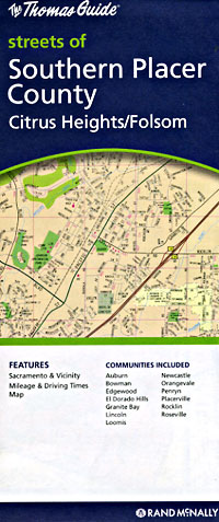
California City Maps, A to L
- $10.95
Item Code : RAND5744
 Scale 1:32,000. Size 28"x40". Rand McNally edition.
 - $10.95
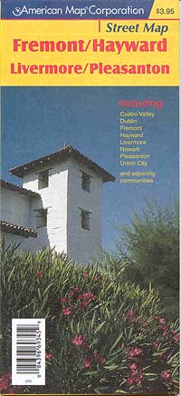
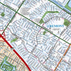
Item Code : AMER5745
 Scale 1:31,000. Size 27"x40". American Map Company edition.
 - $12.95
Item Code : GMJO22527
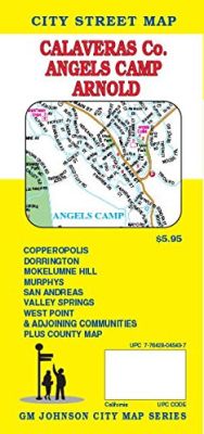
 GM Johnson edition. This Map Coverage areas are Murphys, Mokelumne Hill, West Point, Valley Springs, San Andreas, Dorrington, Copperopolis.
 - $10.95
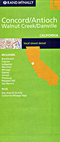
Item Code : RAND5746
Contra Costa County, California, America. - $12.95
Item Code : GMJO23589
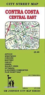
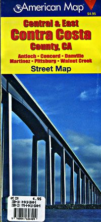
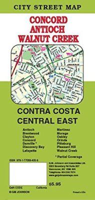 Size 26”x39”. G.M Johnson Maps edition.This Map Coverage Area are Martinez, Moraga, Oakley, Orinda, Pittsburg, Pleasant Hill, Walnut Creek, Antioch, Brentwood, Clayton, Concord, Danville, Discovery Bay, Lafayette, Partial Coverage.
 - $10.95
Item Code : UNIV22536
Universal Map edition. Also includes Beverly Hills, Santa Monica, Culver City, Hollywood, Inglewood, Baldwin Hills, and adjoining communities. - $12.95
Item Code : GMJO22528
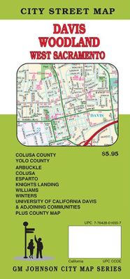
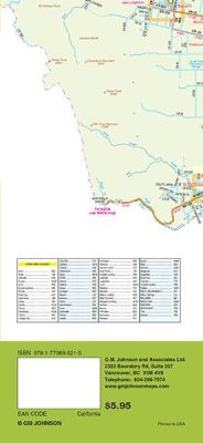 Scale 1:32,000. Size 27"x20". G.M. Johnson edition. This Map Coverage Area are Arbuckle, Colusa, Davis, Esparto, University of California Davis, Knights Landing, West Sacramento, Williams, Winters, Woodland, Colusa County, Yolo County.
 - $14.95
Item Code : GMJO5747
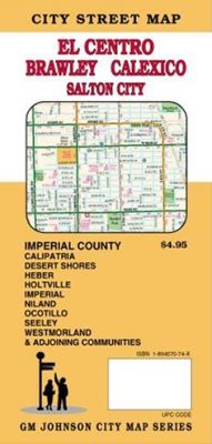
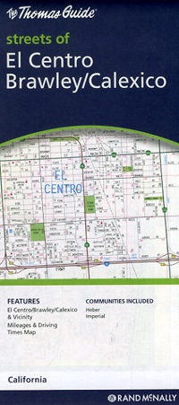
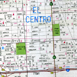
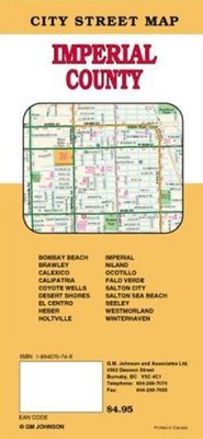 Scale 1:32,000. Size 27"x39". G.M. Johnson edition. This Map Coverage Area Bombay Beach, Brawley, Calexico, Calipatria, Coyote Wells, Desert Shores, El Centro, Heber, Holtville, Imperial, Niland, Ocotillo, Palo Verde, Salton City, Salton Sea Beach, Seeley, Westmorland, Winterhaven, Imperial County.
 - $10.95
Item Code : RAND5748
 Scale 1:24,000. Size 18"x26?". Rand McNally edition.
 - $14.95
Item Code : GMJO5752
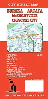
 Various scales. Size 27"x39". G.M. Johnson edition. An accurate detailed city street map of Eureka, CA. Also covering Ferndale, Fortuna, Garberville, Hayfork, Rio Dell, Weaverville, Del Norte County, Humboldt County, Trinity County & Adjoining Communities plus counties map.
 - $10.95
Item Code : KING5749
El Centro, California, and Yuma, Arizona, America. - $10.95
Item Code : KING5750
Encinitas and North San Diego County, California, America. -
-
- $12.95
Item Code : GMJO22530
G.M. Johnson edition. - $10.95
Item Code : RAND5754
 Scale 1:35,000. Size 27"x39". Rand McNally edition.
 - $10.95
Item Code : RAND5755
 Scale 1:37,000. Size 28"x40". Rand McNally edition.
 - $10.95
Item Code : AMER5756
 Scale 1:33,000. Size 27"x39". American Map Company edition.
 - $12.95
Item Code : GMJO22532
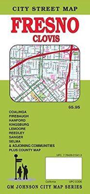
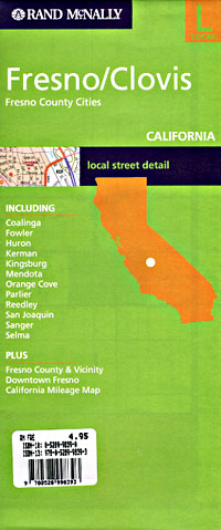
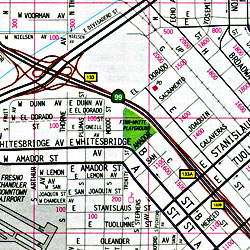
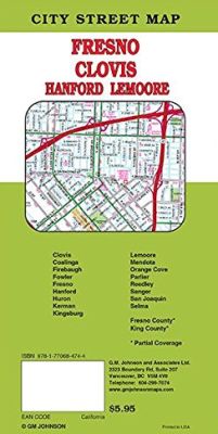 Scale 1:32,000. Size 27"x39". G.M. Johnson edition. This Map Coverage Areas are Clovis, Coalinga, Firebaugh, Fowler, Fresno, Huron, Kerman, Kingsburg, Mendota, Orange Cove, Parlier, Reedley, Sanger, San Joaquin, Selma, Fresno County.
 - $10.95
Item Code : RAND5757
 Scale 1:37,000. Size 28"x40". Rand McNally edition.
| Postage and handling is $4.40 for the first map and $1.80 for each additional map. ~ ~ ~ ~ ~ ~ Foreign delivery is $15.80 for the first map and $7.60 for each additional map. ~ ~ ~ ~ ~ ~ Canada delivery is $15.80 for the first map and $7.60 for each additional map. |
Exploring California through city maps- A to L.
California, which is a western U.S. state is the most populous state of the nation. It is the third largest in terms of area with an approximate area of 900 miles. It is located on the Mexican border and western Pacific Ocean.
The capital of California is Sacramento with a population of about 2,70,000. California has numerous cities and towns with 482 municipalities and 58 counties. Some of the most popular and beautiful town of U.S. are in California only. The largest city of California is Los Angeles.
Along with such a huge number of cities, California also has a diverse geography. As mentioned, it has Pacific Ocean to the west and Sierra Nevada mountain range to its east. It has central valley which is the major agricultural area of U.S. In terms of ecology, California has some of the endangered species of flora and fauna.
With such huge number of counties and municipalities in California, it is impossible to know about them or visit all of them. Numerous articles are being published about California regarding its rich culture and diversity. Cities like Alturas, Auburn, Bakersfield, El centro, Eureka, Hanford, Jackson and Los Angeles are the most popular cities if taken from A to L.
To do justice to the rich culture and ecology of California, one should visit all the renowned places including tourist places. Californian city maps come to the rescue at this point. These city maps depict all the routes and paths with all the landmarks so that it becomes easy to travel and explore.
California has a lot more in it than just this. The topic will never come to an end. Having known all this, no wonder that California is the first choice of tourists from all over the world.
California City Street Maps for Tourists and TravelersDetailed Road Map of California Cities (A to L)Buy travel maps for California City tourist attractions, road trips, street guide, driving directions and more |
