
Austria Road Maps | Detailed Travel Tourist Driving
Traveling by Roads to and in Austria – Use our Friendly Austria Road Maps
An outstanding thoroughfare, public road, and central road network link Austria with its adjoining states. All major boundary checkpoints work day and night. on the whole, Austrian traffic rules plus traffic signals are comparable to those that is found in other European nations.
Reminiscent of a 380km-lengthy cord of pearls, the Romantic Road links gorgeous backdrops of Austria, going past incredible lakes as well as mountain panoramas, and worthy villages. Beginning from Salzburg, the road directs you throughout the states of Upper Austria plus Lower Austria to the capital Vienna, raising the cover on a world of monasteries, palaces, castles in addition to museums all along the way.
In the St.Wolfgang hamlet, straight on the coasts of the famous Lake Wolfgang, you can discover the scenery of a famed Austrian light opera that as well functioned as the location for a range of films.
A number of bathing lakes down the road that twists through Salzkammergut exude a distinctive romantic ambiance.
Lake Traunsee is famous for weddings, particularly at Seeschloss Ort Castle, placed on a tranquil island plus hosting fairy tale like weddings. The Salzkammergut is also known as the Austrian Lake area and is actually one of the most stunning regions in Austria, with awe-inspiring mountain landscape and profound blue lakes.
Austria Road Maps
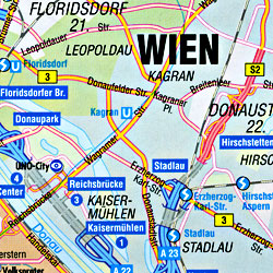
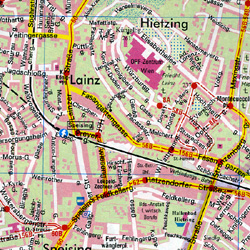
Our tourist road maps provide you with a thorough indication of the city with all its renowned attractions in order for you to plan your tourism route. It is straight forward for a traveler to discover the comfiest pathway for pedestrians throughout the city. It is as well trouble-free to locate the sights as well as attractions which are noticeable with a star plus moreover the chocolate colored unique constructions on your path.
Austria Road Maps for Tourists and TravelersDetailed Road Map of AustriaBuy travel maps for Austria tourist attractions, road trips, street guide, driving directions and more |
| What you’ll find in this section, all arranged in the following order: a. Country Road and Tourist Maps and Atlases of Austria (see below) b. Regional and Sectional Topographic Tourist Road Maps of Austria Click Here c. City Street Plans and Atlases of Austria Click Here Please Scroll down the list and find the map or atlas of your choice! |
Austria Road Maps
- $17.95
Item Code : FREY5292
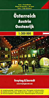
 Scale 1:300,000. Size 37"x42". Freytag & Berndt edition. Super large scale! Our best map of Austria. New edition now at 1:300,000 scale.
 - $17.95
Item Code : MRCO20863
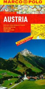 Scale 1:3,00,000. Marco Polo maps feature completely up-to-date, digitally generated mapping. The high quality cartography with distance indicators and scale converters aid route planning. The extensive coverage enables travellers to cross country boundaries with the same map. Contains city maps of: Vienna, Graz, Innsbruck and Salzburg. A fold-out overview map is ideal for route planning and 7 self-adhesive Marco Polo mark-it stickers can be used to pin-point a destination or route for future reference. Scenic routes and places of interest are highlighted - ideal for touring holidays. Comprehensive index.
 - $17.95
Item Code : ITMB5299
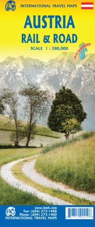
Scale 1:380,000. Size 27"x39" (this is a big map!). International Travel Maps edition.
Austria is both an ancient country and a modern country. It was a powerful empire prior to the French Revolution and WW1 was strongly influenced by the Austro-Hungarian empire. The aftermath of that war resulted in Austria becoming much diminished in power, but despite WW2, its borders remain much as they were in 1918.
That said, today's Austria is a lovely and safe place to visit. 75 years of peaceful neutrality has restored the country to prosperity and the country is loaded with picturesque villages, lovely mountain scenes, historic castles and palaces, wonderful churches, and museums galore. This map emphasizes the rail network that is the best way to travel around the country, but also shows motorways and ordinary highways, parks, scenic attractions, and connections to surrounding countries.
- $17.95
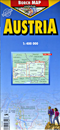
Item Code : BORC5297

 Scale 1:400,000. Size 20"x38". Borch edition. Laminated.
 - $17.95
Item Code : MICH5298
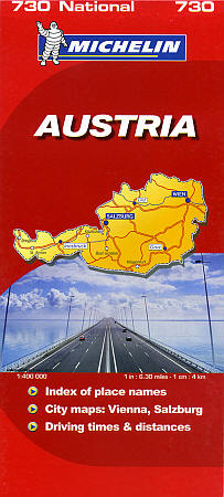
 Scale 1:400,000. Size 39"x60". Michelin edition.
 - $14.95
Item Code : BERN5300
 Scale 1:400,000. Berndtson & Berndtson edition. Laminated, waterproof, easy-fold, flexi-map. Indexed. English and multi-lingual legends.
 - $12.95
Item Code : CART5296
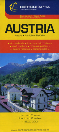
 Scale 1:500,000. Size 28"x48". Cartographia edition.
 - $17.95
Item Code : KUMR5295
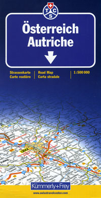
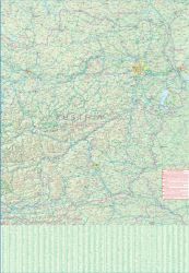
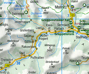
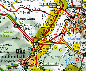
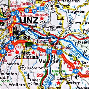
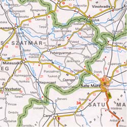
 Scale 1:500,000. Size 36" across x 51" high (big map!). Indexed. Kummerly + Frey edition. Printed on one side on high quality paper. Fold it just to the area that you need and then unfold it when you want to see the whole country. Shows all type of roads, road numbers, distances between points in kilometers, railways, car ferries, shipping routes, car repair service, state and national boundaries, national parks, nature preserves, interesting towns, summer holiday resorts, winter sports resorts, spas, cathedrals, churches, castles, palaces, panoramic viewpoints, prehistoric monuments, roman antiquities, ruins, caves, grottos, museums, places of interest, airports, lighthouses, inns, hostels, huts, camping grounds, motels, isolated hotels, restaurants on the motorways, refreshment stands, petrol stations, rest areas, and border crossing points. Very detailed. English and multilingual legends. Laminated card cover. This is a beautiful travel map! BIG >> SAMPLE MAP << Small sample map
 - $14.95
Item Code : HLWG5302

 Scale 1:500,000. Size 39"x50". Hallwag edition.
 - $14.95
Item Code : HEMA5301
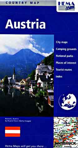
 Scale 1:600,000. Size 39"x49". Hema maps edition.
 - $14.95
Item Code : KUMR5303
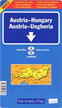
 Scale 1:800,000. Size 26"x51". Kummerly + Frey edition.
 - $17.95
Item Code : MICH5304
 Scale 1:1,000,000. Size 40"x61". Michelin edition.
 - $17.95
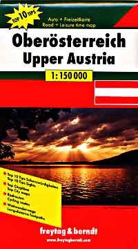
Item Code : FREY5309

 Scale 1:150,000. Size 32"x54". Freytag & Berndt edition. Large scale. Very detailed.
 - $17.95
Item Code : FREY5310
 Scale 1:150,000. Size 39"x52". Freytag & Berndt edition. Large scale. Very detailed.
 - $38.95 + $8.50 p & h or $32.50 foreign delivery
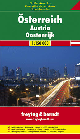
Item Code : FREY5305
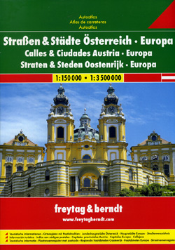
 Scale 1:150,000. Size 8?"x12". 412 pages. Freytag & Berndt edition. Totally indexed. This is a excellent tourist road atlas of Austria. Highly recommended. Includes all of Austria at 1:150,000 scale; plus detailed and indexed city street plans of Bregenz, Eisenstadt, Graz, Innsbruck, Klagenfurt, Linz, Salzburg, St. P?lten, and Vienna ("Wien") at 1:12,000 scale approximately. Superbly rendered. Very detailed. Also includes an indexed tourist road atlas of Europe at 1:3,500,000 scale, and indexed city street plans of 33 major European capitol cities at 1;15,000 scale. English and multilingual legends. Softcover.
 - $39.95 + $8.50 p & h or $32.50 foreign delivery
Item Code : FREY5306
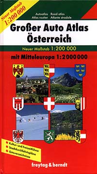
 Scale 1:200,000. Freytag & Berndt edition. HARDCOVER. Practically the same atlas as above but in a beautifully bound hardcover edition.
 - $40.95 + $8.50 p & h or $32.50 foreign delivery
Item Code : FREY5307
 Scale 1:150,000. Freytag & Berndt edition.
 - $36.95 + $8.50 p & h or $32.50 foreign delivery
Item Code : FREY5308
 Scale 1:400,000. Size 8?"x11?". 298 pages. Indexed. Freytag & Berndt edition. English and multi-lingual legends. Spiral bound.
| Postage and handling is $4.40 for the first map and $1.80 for each additional map. ~ ~ ~ ~ ~ ~ Foreign delivery is $15.80 for the first map and $7.60 for each additional map. ~ ~ ~ ~ ~ ~ Canada delivery is $15.80 for the first map and $7.60 for each additional map. |
| ** Click here! to view our beautiful collection of Austria Travel VIDEOS ** |
| ** Click here! to view our Collection of Asturian Language Courses ** |
| Postage and handling is $4.40 for the first map and $1.80 for each additional map. ~ ~ ~ ~ ~ ~ Foreign delivery is $15.80 for the first map and $7.60 for each additional map. ~ ~ ~ ~ ~ ~ Canada delivery is $15.80 for the first map and $7.60 for each additional map. |
Traveling by Roads to and in Austria – Use our Friendly Austria Road Maps
An outstanding thoroughfare, public road, and central road network link Austria with its adjoining states. All major boundary checkpoints work day and night. on the whole, Austrian traffic rules plus traffic signals are comparable to those that is found in other European nations.
Reminiscent of a 380km-lengthy cord of pearls, the Romantic Road links gorgeous backdrops of Austria, going past incredible lakes as well as mountain panoramas, and worthy villages. Beginning from Salzburg, the road directs you throughout the states of Upper Austria plus Lower Austria to the capital Vienna, raising the cover on a world of monasteries, palaces, castles in addition to museums all along the way.
In the St.Wolfgang hamlet, straight on the coasts of the famous Lake Wolfgang, you can discover the scenery of a famed Austrian light opera that as well functioned as the location for a range of films.
A number of bathing lakes down the road that twists through Salzkammergut exude a distinctive romantic ambiance.
Lake Traunsee is famous for weddings, particularly at Seeschloss Ort Castle, placed on a tranquil island plus hosting fairy tale like weddings. The Salzkammergut is also known as the Austrian Lake area and is actually one of the most stunning regions in Austria, with awe-inspiring mountain landscape and profound blue lakes.
Austria Road Maps
Our tourist road maps provide you with a thorough indication of the city with all its renowned attractions in order for you to plan your tourism route. It is straight forward for a traveler to discover the comfiest pathway for pedestrians throughout the city. It is as well trouble-free to locate the sights as well as attractions which are noticeable with a star plus moreover the chocolate colored unique constructions on your path.
Austria Road Maps for Tourists and TravelersDetailed Road Map of AustriaBuy travel maps for Austria tourist attractions, road trips, street guide, driving directions and more |
| What you’ll find in this section, all arranged in the following order: a. Country Road and Tourist Maps and Atlases of Austria (see below) b. Regional and Sectional Topographic Tourist Road Maps of Austria Click Here c. City Street Plans and Atlases of Austria Click Here Please Scroll down the list and find the map or atlas of your choice! |
