
Arkansas Road Maps | Detailed Travel Tourist Driving
Interactive Map of Arkansas – Your Assistant When You visit The Place
Arkansas is lovingly referred to as the natural country for spectacular mountain views and pureflowing streams, and much more. Cities like Bentonville, Hot Springs, and Little Rock provide a multi cultural sensation. Apart from this when you visit the unique Eureka Springs, its memory will remain in your mind for your life.
The world’s rice capital is Arkansas. It is also the home to one of merely three purse galleries on the earth. The Diamonds State Park is yet another unique spot for you to visit and is the place for real diamond digging. On the whole, you will find that Arkansas actually is an exceptional gem to discern.
When spring enters this country you will find flowers revealing their exact colors as well as critters come out in the open, you will know that you cannot find another better place on earth to be when it is spring than Arkansas. Take benefit of t-shirt heats and plan a trek, bike trip, float tour or another day trip in Arkansas the natural state.
The Mississippi River which is the eastern boundary of Arkansas is a natural enticement for nature sight-seeing in the county.
The most important state fascinations also include Hot Springs National Park in addition to the Buffalo National River in the Ozarks. The Arkansas Conventional Hub in Mountain View, the William J. Clinton Birthplace in Hope, the famous Arkansas Gallery at Little Rock, and Blanchard Springs Cavernsare also places of interest for the tourists.
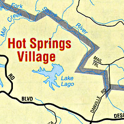
Arkansas map
The Interactive Arkansas Map will enable the person who uses it to find a few points of importance that Arkansas offers to its tourists. You can size the mapof Arkansas and discover the position of picturesque drives, watercourses, historic spots as well as State parks, museums and a lot more.
Arkansas Road Maps for Tourists and TravelersDetailed Road Map of ArkansasBuy travel maps for Arkansas tourist attractions, road trips, street guide, driving directions and more |
Arkansas
- $10.95
Item Code : AMER5067
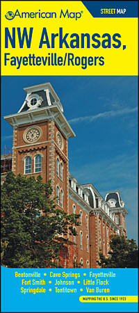 Size 4"x9" (folded). American Map Company edition. Our Maps Have It All! Up-To-Date Streets, Towns, and Places of Interest Easy-To-Read Vicinity and Detailed Maps The Perfect Complement to Your GPS System Up-To-Date Features Block Numbers ZIP Codes Shopping Centers Golf Courses and Country Clubs Schools and Universities Parks Airports Hospitals Cemeteries and much more...
 - $10.95
Item Code : AMER5071
 Size 4"x9" (folded). American Map Company edition. Our Maps Have It All! Up-To-Date Streets, Towns, and Places of Interest Easy-To-Read Vicinity and Detailed Maps The Perfect Complement to Your GPS System Up-To-Date Features Block Numbers ZIP Codes Shopping Centers Golf Courses and Country Clubs Schools and Universities Parks Airports Hospitals Cemeteries and much more...
 - $21.95 + $7.50 p&h or $28.50 foreign delivery
Item Code : AMER5068
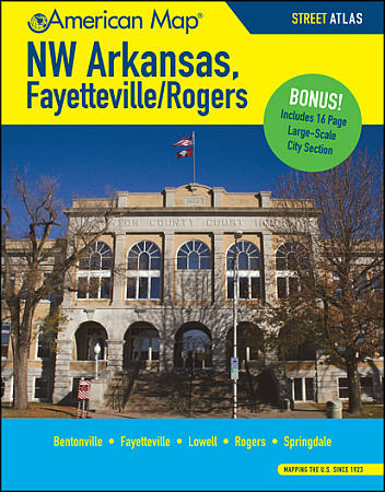 Size 8?"x11". 128 pages. American Map Company edition. Our New Street Atlas Has It All! Up-To-Date Streets, Towns, and Places of Interest NEW Large-Sized City Maps including Gas Stations and Parking Easy-To-Use Color Coded Sections The Perfect Complement to Your GPS System Up-To-Date Features Block Numbers ZIP Codes Shopping Centers Golf Courses and Country Clubs Schools and Universities Parks Airports Hospitals Cemeteries and much more...
 - $249.95 + $24.80 p&h (add $40 for spring rollers)
Item Code : UNIV5069
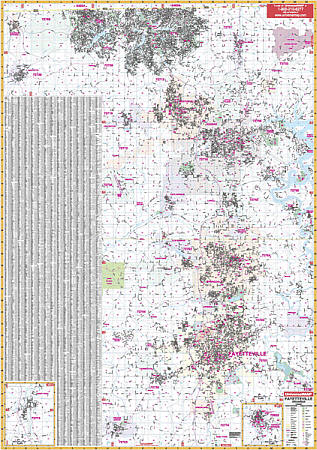 Scale 1:2,640. Size 54" W x 77" H. Laminated. The Fayetteville and Bentonville, Arkansas with adjacent areas is a Wall Map by Universal Map. Printed in color with a markable and washable-laminated finish. Streets are indexed on the face of the map. The area of coverage ranges: North: to the Missouri State line--including all Bella Vista, Sulphur Springs, & Pea Ridge; South: to include Prarie Grove and Greenland; East: to Prairie Creek, Goshen, and the actual river called White River; West: to include Gravette and Centerton. Insets: Eureka Springs and West Fork. The special features and data are as follows: all streets and highways, water features, government buildings, airports, golf courses and country clubs, railroads, longitude and latitude lines, ZIP codes/boundaries, shopping centers, recreational parks, mileage circles, cemeteries, educational facilities, hospitals, post offices, city limits and annexations, fire and police stations, section/township/range lines, mileage circles, and miscellaneous points of interest. Framing rails are included on top and bottom for easy wall mounting. Railed wall maps can be turned into pull down maps on spring rollers for an additional $40.
 - $10.95
Item Code : RLEY5072
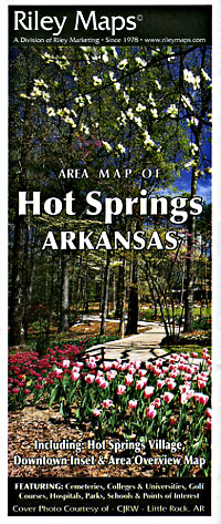
 Scale 1:30,000. Size 23"x35". Riley Marketing edition.
 - $10.95
Item Code : UNIV5073

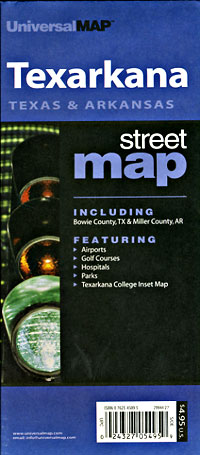
 Scale 1:26,000. Size 24"x36". Universal Map edition. Detailed city street map.
 - $10.95
Item Code : UNIV5074
 Size 23"x35". Universal Map edition. Detailed city street map.
 - $10.95
Item Code : RAND5075

 Scale 1:34,000. Size 28"x40". Rand McNally edition. Detailed city street map.
 - $10.95
Item Code : UNIV5076
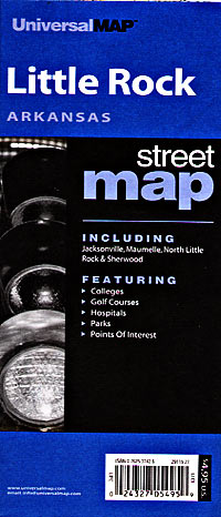
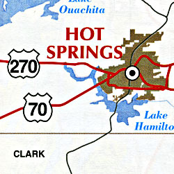
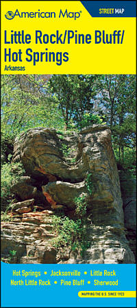
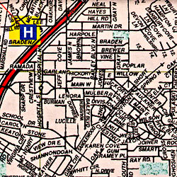 Scale 1:37,000. Size 28"x40". Universal Map edition. This full-color street map of Little Rock, Hot Springs, and Pine Bluff, AR includes: Cammack Village, Mabelvale, North Little Rock, Pleasant Valley, and Spring Valley; and features: Airports, Block Numbers, Colleges and Universities, Golf Courses, Hospitals, Hot Springs National Park, and Orientation Map, Parks and Rec Areas, Places of Interest, Schools, and ZIP Codes.
 - $11.95
Item Code : UNIV5078
 Scale 1:33,000. Size 23"x26". Universal Map edition. Laminated.
 - $10.95
Item Code : AMER5077
 Size 4"x9" (folded). American Map Company edition. Our Maps Have It All! Up-To-Date Streets, Towns, and Places of Interest Easy-To-Read Vicinity and Detailed Maps The Perfect Complement to Your GPS System Up-To-Date Features Block Numbers ZIP Codes Shopping Centers Golf Courses and Country Clubs Schools and Universities Parks Airports Hospitals Cemeteries and much more...
 - $24.95 + $7.50 p&h or $28.50 foreign delivery
Item Code : AMER5080
 Size 8?"x11". 150 pages. American Map Company edition. Our New Street Atlas Has It All! Up-To-Date Streets, Towns, and Places of Interest NEW Large-Sized City Maps including Gas Stations and Parking Easy-To-Use Color Coded Sections The Perfect Complement to Your GPS System Up-To-Date Features Block Numbers ZIP Codes Shopping Centers Golf Courses and Country Clubs Schools and Universities Parks Airports Hospitals Cemeteries and much more...
 - $229.95 + $24.80 p&h (add $40 for spring rollers)
Item Code : UNIV5081
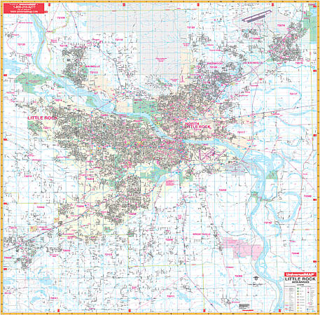 Scale 1:2,400. Size 72" W x 64" H. Laminated. Covers Little Rock and North Little Rock with boundaries ranging north to the Faulkner County line including Little Rock Air Force Base; south to include Woodson and Sardis; east to the Lonoke County line; and west to include Benton, Bauxite, and Bryant. Map expanded west 7 miles to include all Benton, Arkansas. Details airports, cemeteries, hospitals, railroads, post offices, all streets/highways, shopping centers, water features, recreational parks, mileage circles, city limits/annexations, government buildings, fire/police stations, educational facilities, golf courses/country clubs, ZIP codes/boundaries, section/township/range lines, and points of interest. Framing rails are included on top and bottom for easy wall mounting. Railed wall maps can be turned into pull down maps on spring rollers for an additional $40.
 - $249.95 + $24.80 p&h (add $40 for spring rollers)
Item Code : KAPA21088
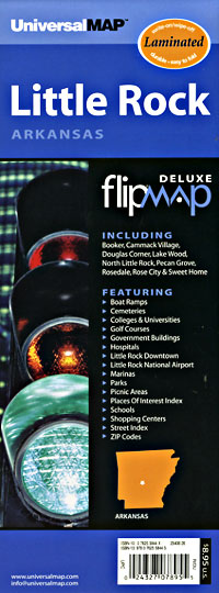
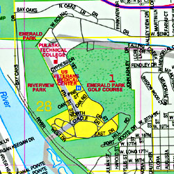
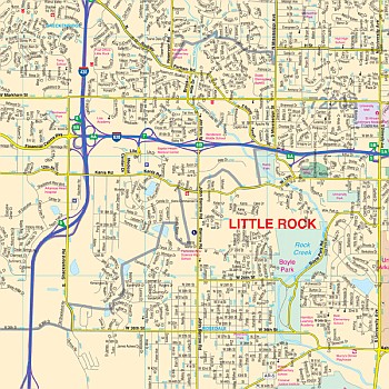 Our Little Rock, AR Wall Map, with adjacent areas, measures 59" x 68" (4'11" W x 5'8" H) and features up-to-date cartography, with new streets and changes in complete street detail; is printed in color, with a markable and washable laminated surface; and offers a street index in a separate book-format. The area of coverage includes all of Little Rock and North Little Rock, with the following boundaries: - North to the Faulkner County line and Little Rock Air Force Base - South to Woodson and Sardis - East to the Lonoke County line - West to Bauxite and Bryant The Little Rock, AR Wall Map also includes an inset map of Downtown Little Rock. Details and features include: - AIRPORTS - BLOCK NUMBERS - CEMETERIES - CITY LIMITS (color-coded) - EDUCATIONAL INSTITUTIONS - FIRE & POLICE STATIONS - GOLF & COUNTRY CLUBS - GOVERNMENT BUILDINGS - HOSPITALS - LIBRARIES - POINTS OF INTEREST - POST OFFICES - RAILROADS - RECREATIONAL PARKS - SHOPPING CENTERS - STREETS & HIGHWAYS - WATER FEATURES - ZIP CODE BOUNDARIES Framing rails are included, top and bottom, for easy wall mounting. Spring roller mounting is also available, for an additional $40.
 - $10.95
Item Code : UNIV5082

 Size 23"x35". Universal Map edition. Detailed city street map.
 -
- $10.95
Item Code : UNIV5084
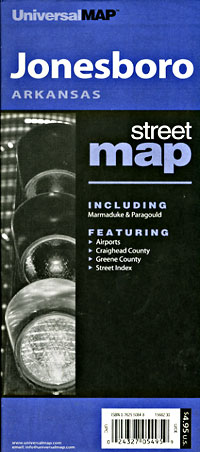
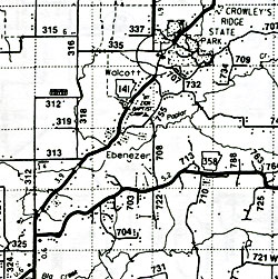
 Scale 1:35,000. Size 24"x36". Universal Map edition. Detailed city street map.
 - $10.95
Item Code : AMER5085
 Size 4"x9" (folded). American Map Company edition. Our Maps Have It All! Up-To-Date Streets, Towns, and Places of Interest Easy-To-Read Vicinity and Detailed Maps The Perfect Complement to Your GPS System Up-To-Date Features Block Numbers ZIP Codes Shopping Centers Golf Courses and Country Clubs Schools and Universities Parks Airports Hospitals Cemeteries and much more...
| Postage and handling is $4.40 for the first map and $1.80 for each additional map. ~ ~ ~ ~ ~ ~ Foreign delivery is $15.80 for the first map and $7.60 for each additional map. ~ ~ ~ ~ ~ ~ Canada delivery is $15.80 for the first map and $7.60 for each additional map. |
Interactive Map of Arkansas – Your Assistant When You visit The Place
Arkansas is lovingly referred to as the natural country for spectacular mountain views and pureflowing streams, and much more. Cities like Bentonville, Hot Springs, and Little Rock provide a multi cultural sensation. Apart from this when you visit the unique Eureka Springs, its memory will remain in your mind for your life.
The world’s rice capital is Arkansas. It is also the home to one of merely three purse galleries on the earth. The Diamonds State Park is yet another unique spot for you to visit and is the place for real diamond digging. On the whole, you will find that Arkansas actually is an exceptional gem to discern.
When spring enters this country you will find flowers revealing their exact colors as well as critters come out in the open, you will know that you cannot find another better place on earth to be when it is spring than Arkansas. Take benefit of t-shirt heats and plan a trek, bike trip, float tour or another day trip in Arkansas the natural state.
The Mississippi River which is the eastern boundary of Arkansas is a natural enticement for nature sight-seeing in the county.
The most important state fascinations also include Hot Springs National Park in addition to the Buffalo National River in the Ozarks. The Arkansas Conventional Hub in Mountain View, the William J. Clinton Birthplace in Hope, the famous Arkansas Gallery at Little Rock, and Blanchard Springs Cavernsare also places of interest for the tourists.
Arkansas map
The Interactive Arkansas Map will enable the person who uses it to find a few points of importance that Arkansas offers to its tourists. You can size the mapof Arkansas and discover the position of picturesque drives, watercourses, historic spots as well as State parks, museums and a lot more.
Arkansas Road Maps for Tourists and TravelersDetailed Road Map of ArkansasBuy travel maps for Arkansas tourist attractions, road trips, street guide, driving directions and more |
