
United States Road Maps | Detailed Travel Tourist Driving
|
United States Road Maps |
United States
- $10.95
Item Code : AMER4750
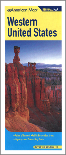 Size 25"x36". American Map Company edition. This Western United States map contains detailed insets of major cities such as Chicago, San Francisco and Los Angeles. It lists points of interest by state, including Anaheim, CA, Colorado Springs, CO, the Apache Trail, AZ, and the Arches National Park, UT. This map also indicates National forests, National monuments, parks, beaches, shopping centers, campgrounds and other points of interest.
 - $10.95
Item Code : AMER4848
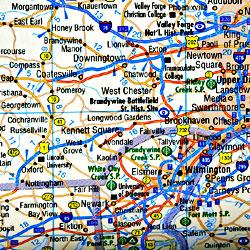
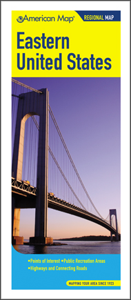 Size 23"x36". American Map Company edition. The Eastern United States Regional Map provides two highway & connecting roads maps, with the Northern Section (Wisconsin, Illinois, Michigan, Indiana, Ohio, West Virginia, Maryland, Delaware, Pennsylvania, New Jersey, New York, Connecticut, Massachusetts, Rhode Island, Vermont, New Hampshire, Maine and Southeastern Canada) on one side and the Southern Section (Missouri, Arkansas, Louisiana, Mississippi, Kentucky, Tennessee, Alabama, Georgia, Florida, North Carolina, South Carolina and Virginia) on the other. Also included are a list of Points of Interest, a major city-to-city distance chart, a toll roads chart, and inset maps of Metro Washington, D.C. and the Metro New York area.
 - $19.95
Item Code : REIS4871
 Scale 1:750,000. Reis Know How edition.
 - $19.95
Item Code : REIS4872
 Scale 1:1,250,000. Reis Know How edition.
 - $19.95
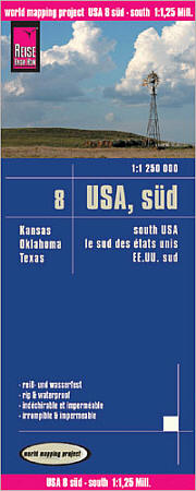
Item Code : REIS4873
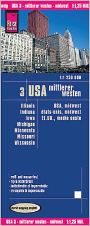 Scale 1:1,250,000. Reis Know How edition. Very detailed USA 3, Midwest road map. English and multi-lingual legends. Printed on tear-resistant, waterproof, paper-like plastic. It can bend and fold without cracking and is writable as normal paper, non-toxic and recyclable. Perfect for tourist adventures and independent travel and for driving tours. Includes topographic contour lines and hypsometric color tints which show height levels, along with elevation numbers. Shows all major and secondary roads and tertiary roads, with distances between points in kilometers. Fully indexed. Beautiful cartography.
 - $19.95
Item Code : REIS4838
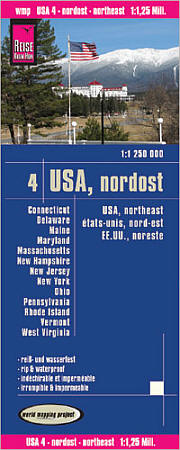 Scale 1:1,250,000. Reis Know How edition. Very detailed USA, Northeast road map. English and multi-lingual legends. Printed on tear-resistant, waterproof, paper-like plastic. It can bend and fold without cracking and is writable as normal paper, non-toxic and recyclable. Perfect for tourist adventures and independent travel and for driving tours. Includes topographic contour lines and hypsometric color tints which show height levels, along with elevation numbers. Shows all major and secondary roads and tertiary roads, with distances between points in kilometers. Fully indexed. Beautiful cartography.
 - $19.95
Item Code : REIS4828
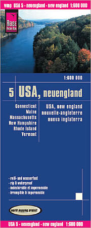 Scale 1:600,000. Reis Know How edition. Very detailed USA, New England road map. English and multi-lingual legends. Printed on tear-resistant, waterproof, paper-like plastic. It can bend and fold without cracking and is writeable as normal paper, non-toxic and recyclable. Perfect for tourist adventures and independent travel and for driving tours. Includes topographic contour lines and hypsometric color tints which show height levels, along with elevation numbers. Shows all major and secondary roads and tertiary roads, with distances between points in kilometers. Fully indexed. Beautiful cartography.
 - $19.95
Item Code : REIS4876
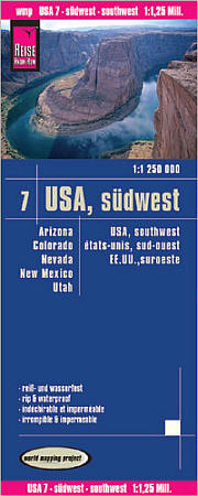 Scale 1:1,250,000. Reis Know How edition. Very detailed USA, Southwest road map. English and multi-lingual legends. Printed on tear-resistant, waterproof, paper-like plastic. It can bend and fold without cracking and is writable as normal paper, non-toxic and recyclable. Perfect for tourist adventures and independent travel and for driving tours. Includes topographic contour lines and hypsometric color tints which show height levels, along with elevation numbers. Shows all major and secondary roads and tertiary roads, with distances between points in kilometers. Fully indexed. Beautiful cartography.
 - $19.95
Item Code : REIS4877
 Scale 1:1,250,000. Reis Know How edition. Very detailed South road map. English and multi-lingual legends. Printed on tear-resistant, waterproof, paper-like plastic. It can bend and fold without cracking and is writeable as normal paper, non-toxic and recyclable. Perfect for tourist adventures and independent travel and for driving tours. Includes topographic contour lines and hypsometric color tints which show height levels, along with elevation numbers. Shows all major and secondary roads and tertiary roads, with distances between points in kilometers. Fully indexed. Beautiful cartography.
 - $19.95
Item Code : REIS4854
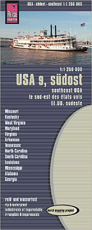 Scale 1:1,250,000. Reis Know How edition. Very detailed USA, Southeast road map. English and multi-lingual legends. Printed on tear-resistant, waterproof, paper-like plastic. It can bend and fold without cracking and is writable as normal paper, non-toxic and recyclable. Perfect for tourist adventures and independent travel and for driving tours. Includes topographic contour lines and hypsometric color tints which show height levels, along with elevation numbers. Shows all major and secondary roads and tertiary roads, with distances between points in kilometers. Fully indexed. Beautiful cartography.
 - $17.95
Item Code : MRCO20915
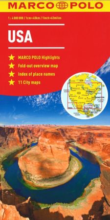 Scale 1:4,000,000. Marco Polo maps feature completely up-to-date, digitally generated mapping. The high quality cartography with distance indicators and scale converters aid route planning. The extensive coverage enables travellers to cross country boundaries with the same map. A fold-out overview map is ideal for route planning and 7 self-adhesive Marco Polo mark-it stickers can be used to pin-point a destination or route for future reference. Scenic routes and places of interest are highlighted - ideal for touring holidays. Comprehensive index.
 - $17.95
Item Code : MRCO20916
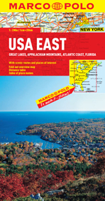 Scale 1:2,000,000. Marco Polo maps feature completely up-to-date, digitally generated mapping. The high quality cartography with distance indicators and scale converters aid route planning. The extensive coverage enables travellers to cross country boundaries with the same map. A fold-out overview map is ideal for route planning and 7 self-adhesive Marco Polo mark-it stickers can be used to pin-point a destination or route for future reference. Scenic routes and places of interest are highlighted - ideal for touring holidays. Coverage includes: Great Lakes, Appalachian Mountains, Atlantic Coast and Florida. Comprehensive index.
 - $17.95
Item Code : MRCO20917
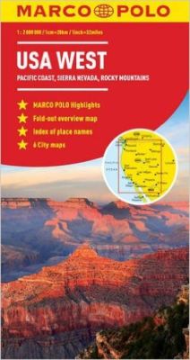 Scale 1:2,000,000. Marco Polo maps feature completely up-to-date, digitally generated mapping. The high quality cartography with distance indicators and scale converters aid route planning. The extensive coverage enables travellers to cross country boundaries with the same map. A fold-out overview map is ideal for route planning and 7 self-adhesive Marco Polo mark-it stickers can be used to pin-point a destination or route for future reference. Scenic routes and places of interest are highlighted - ideal for touring holidays. Coverage includes: Pacific Coast, Sierra Nevada and Rocky Mountains. Comprehensive index.
 - $28.95
Item Code : MRCO20919
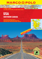 Scale 1:4,000,000. Marco Polo Atlases feature unique spiral binding with a wrap-around spine. The high quality cartography with distance indicators and scale converters aid route planning. A fold-out overview map is ideal for route planning and 7 self-adhesive Marco Polo mark-it stickers can be used to pin-point a destination or route for future reference. Scenic routes and places of interest are highlighted - ideal for touring holidays. Contains a special 20 page section on National Parks. Inset maps of: Boston, Calgary, Chicago, Denver, Fort Lauderdale, Fort Myers, Las Vegas, Los Angeles, Miami, Miami Beach, Montreal, New York, San Francisco, Seattle, Toronto, Vancouver, Washington D.C. (Scales of inset maps vary.)
 - $17.95
Item Code : ITMB21201
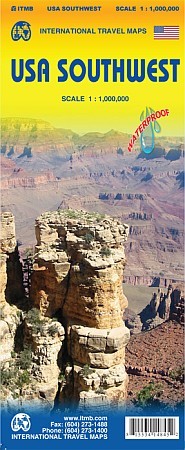 A few months ago, ITMB released its new map of the Northwest Pacific Region (essentially, Washington, Oregon, and Idaho). Now we’re introducing a map of the US Southwest States, notably most of California and Nevada, Arizona, most of Utah, and the western third of New Mexico and Colorado. Our regional series is at 1:1M scale. This results in instances where the name of the map may differ from the common perception. In US parlance, the ‘Southwest’ is often thought to be Arizona and New Mexico, whereas in reality it is southern California, Nevada, and Arizona. If one includes New Mexico, the square sheet of paper has to go so far north that one ends up including Denver. This is our compromise and we’ll figure out how to deal with Texas, New Mexico, Louisiana, and Oklahoma a bit further down the line. This double-sided map covers from Reno and Sacramento in the north to Tijuana and Deming NM in the south, and from the Pacific coastline in the west to Gallop NM and Grand Junction CO in the east; printed on durable ITM plastic paper. As with all US regional maps in our growing coverage, this map includes towns, roads, physical features, major parks and natural monuments, touristic attractions, and border crossings.
 - $17.95
Item Code : BORC4837
 Scale 1:3,000,000. Size 20"x39". Borch edition. Indexed. Printed on both sides. English and multilingual legends. Laminated, water proof, easy-fold, flexi-map.
 - $28.95 + $7.50 p&h or $32.50 foreign delivery
Item Code : RAND4718
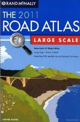
 "Various scales". Size 11"x15". 264 pages. Rand McNally edition. Includes more than 350 detailed city and National Park maps. Excellent! ** 2011 Edition ** (We only carry the latest edition of this atlas, whatever the year may be. The illustration is for visual purposes only)
 - $14.95 + $5.80 p&h or $18.80 foreign delivery
Item Code : UNIV4724

 "Various scales". Size 8?"x11". 64 pages. Universal Map edition.
 - $19.95 + $6.80 p&h or $18.80 foreign delivery
Item Code : MGEL4729
 Various scales. Size 8"x10". 48 pages. Magellan Geographix edition.
 - $19.95 + $6.80 p&h or $24.80 foreign delivery
Item Code : UNIV4730
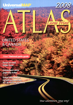
 "Various scales". Size 11"x16". 96 pages. Universal Map edition. ** 2011 edition ** (We only carry the latest edition of this atlas, whatever the year may be. The illustration is for visual purposes only)
|
United States Road Maps |
